Adrian weakens to post-tropical cyclone after becoming first hurricane of 2023 season
Adrian had reached Category 2 hurricane status on Friday, making it the strongest storm so far in either the Atlantic or Eastern Pacific basins, but the storm has now weakened to a post-tropical cyclone and is expected to continue to dissipate on Sunday.
Adrian expected to dissipate Sunday in Eastern Pacific
After becoming the first hurricane of the 2023 season, Adrian continues to weaken in the Eastern Pacific and is expected to dissipate later Sunday.
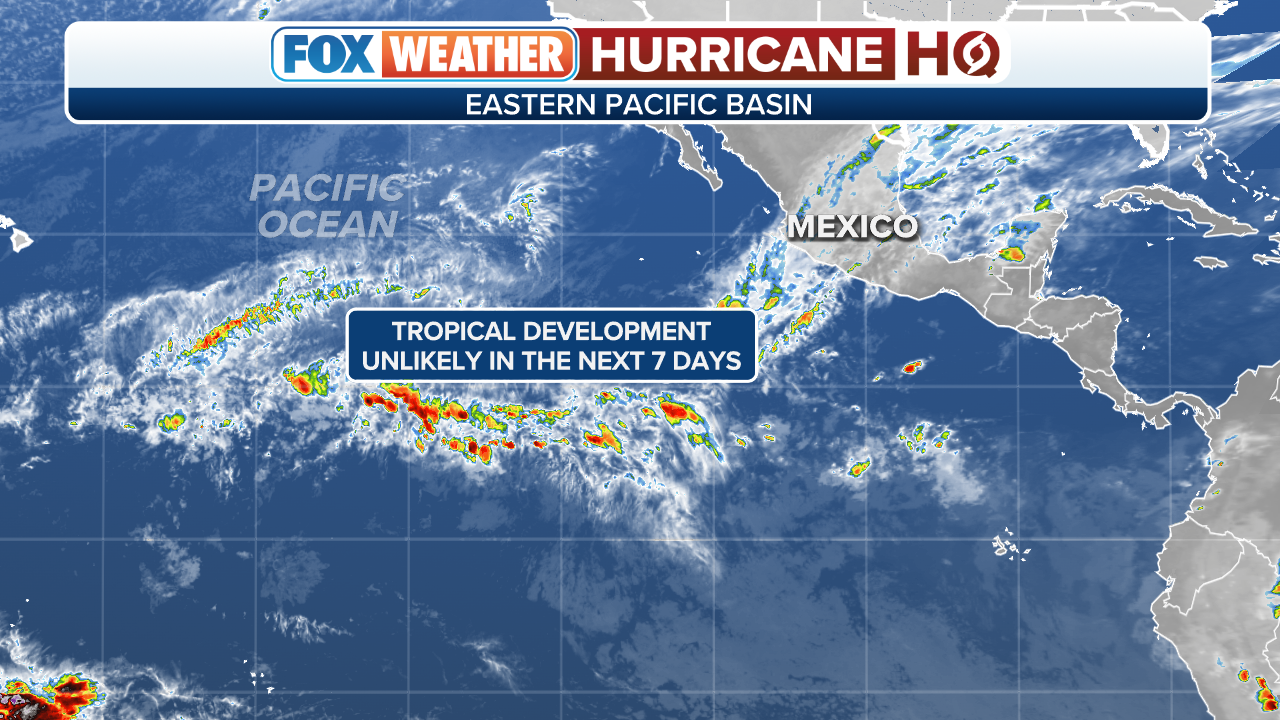
What started as an unusually quiet period for the Eastern Pacific turned active with the development of hurricanes Adrian and Beatriz during the final week of June.
Adrian had reached Category 2 hurricane status on Friday, making it the strongest storm so far in either the Atlantic or Eastern Pacific basins, but the storm has now weakened to a post-tropical cyclone and is expected to continue to dissipate Sunday evening.
5 DIFFERENT NAMES FOR HURRICANES AROUND THE WORLD
(FOX Weather)
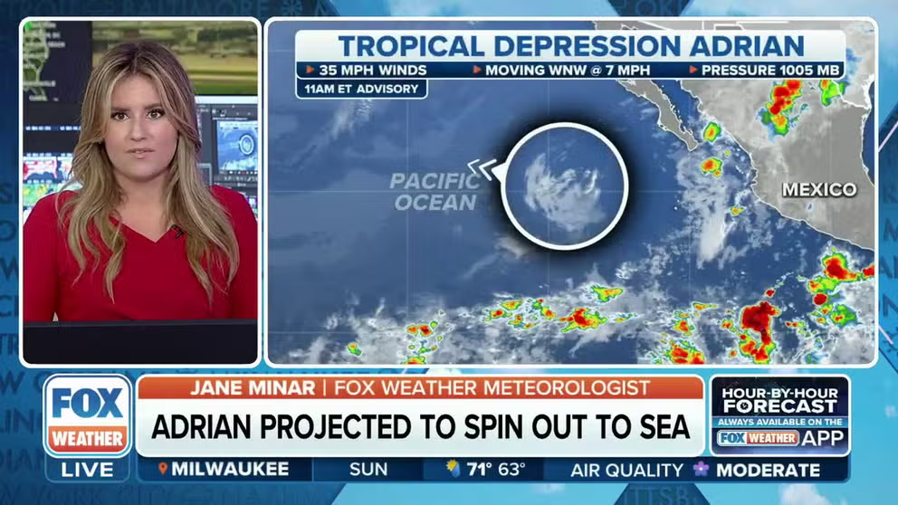
Where is Adrian now?
Adrian is located nearly 500 miles west-southwest of the southern tip of Mexico's Baja California Peninsula.
Sustained winds were last estimated to be about 28 mph.
HERE’S WHAT AN EL NINO CLIMATE PATTERN IS

(FOX Weather)
What is the forecast for Adrian?
According to the National Hurricane Center, Adrian is forecast to become a remnant area of low pressure later Sunday.
On the storm's projected path, it will continue to spin out to sea over the open Eastern Pacific.
HERE ARE THE BUZZWORDS YOU’LL BE HEARING DURING HURRICANE SEASON

(FOX Weather)
Storms making up for lost time
Typically, the first named storm forms in the Eastern Pacific on June 10, the second named storm develops June 24, and the first hurricane forms June 26, so the Eastern Pacific is running slightly behind schedule, which is unusual for an El Niño year.
During El Niño patterns, the Eastern Pacific is known to be extremely productive with warm water temperatures and relaxed upper-level winds.