Daily Weather Update from FOX Weather: Category 4 Hurricane Erin prompts evacuations, states of emergency
Top weather news for Monday, Aug. 18, 2025: Powerful Hurricane Erin restrengthened overnight and became an extremely dangerous Category 4 hurricane as it continued its journey across the Atlantic, prompting officials in North Carolina to issue local states of emergency and forcing residents and visitors to evacuate some areas.
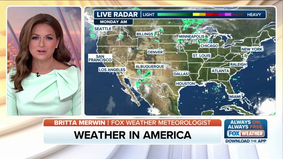
Weather in America: August 18, 2025
FOX Weather has you covered with the breaking forecasts and weather news headlines for your Weather in America on Monday, Aug. 18, 2025. Get the latest from FOX Weather Meteorologist Britta Merwin.
Welcome to the Daily Weather Update from FOX Weather. It's Monday, Aug. 18, 2025. Start your day with everything you need to know about today's weather. You can also get a quick briefing of national, regional and local weather whenever you like with the FOX Weather Update podcast.
Hurricane Erin's life-threatening impacts prompt North Carolina evacuations, states of emergency
Powerful Hurricane Erin restrengthened overnight and became an extremely dangerous Category 4 hurricane as it continued its journey across the Atlantic, prompting officials in North Carolina to issue local states of emergency and forcing residents and visitors to evacuate some areas.
While the hurricane will likely stay to the east of the U.S., officials are warning of life-threatening surf and rip currents at beaches up and down the East Coast from Florida in the Southeast through the mid-Atlantic, Northeast and New England this week.

(FOX Weather)
Odds increase for next tropical system behind Hurricane Erin in Atlantic Ocean's Main Development Region
Odds are increasing that a tropical system will develop behind Hurricane Erin in the Atlantic Ocean's Main Development Region within the next week. The National Hurricane Center (NHC) tagged an area to watch in the tropical Atlantic that has a medium chance of development over the next seven days.
The NHC is tracking a large group of disorganized thunderstorms off the coast of Africa, which will encounter favorable conditions for development as those storms move west across the Atlantic toward the Caribbean islands.

(FOX Weather)
Watch this: Hurricane Hunters fly into Hurricane Erin's eye
Hurricane Erin became the first major hurricane of the 2025 Atlantic hurricane season over the weekend. The powerful storm rapidly intensified from a Category 1 hurricane to a catastrophic Category 5 hurricane with winds of 160 mph in a matter of hours.
This incredible video shared by the 53rd Weather Reconnaissance Squadron shows a Hurricane Hunter crew flying into the eye of Hurricane Erin as the storm spun across the Atlantic Ocean over the weekend. These dangerous missions help to provide critical information to the National Hurricane Center to help improve forecasts.

Watch: Hurricane Hunters fly into Hurricane Erin's eye
Check out this incredible video shared by the 53rd Weather Reconnaissance Squadron showing the crew flying into the eye of Hurricane Erin as the storm spun across the Atlantic Ocean. These dangerous missions help to provide critical information to the National Hurricane Center to help improve forecasts.
Before you go
Here are a few more stories you might find interesting.
- La Nina Watch issued while Pacific continues to show ENSO-neutral conditions
- Millions of butterflies begin their annual migration ahead of winter
- First signs of changing leaves spotted in Alaska as seasonal shift begins
Need more weather? Check your local forecast plus 3D radar in the FOX Weather app. You can also watch FOX Weather wherever you go using the FOX Weather app, at FOXWeather.com/live or on your favorite streaming service.