'Crummy morning commute' in New England as powerful winter storm exits US
While heavy rain was still ongoing early Thursday from southeastern Massachusetts to Downeast Maine, northwesterly winds across the Great Lakes will support the development of lake-effect snow showers downwind of all the Great Lakes and into the Ohio Valley.
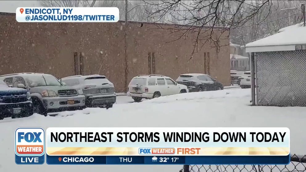
Winter storm across parts of interior Northeast will wind down on Thursday
The significant storm that we have been tracking all week will come to an end on Thursday as the low pressure responsible moves off into Canada. Heavy rain will still be ongoing in the early morning hours from southeast Massachusetts to Maine.
The impactful winter storm that dropped heavy snow from the southern Plains to New England and produced tornadoes along the Gulf Coast will be moving out of the country on Thursday.
As the low-pressure system responsible for the winter weather moves into Canada, northwesterly winds behind it across the Great Lakes will support the development of lake-effect snow showers downwind of all the Great Lakes and into the Ohio Valley.
Heavy rain was still ongoing early Thursday from southeastern Massachusetts to Downeast Maine, but the rain will quickly wind down by mid- to late morning.
To the north, heavy snow is falling across northern Maine, but that, too, will wind down by midday. Up to a foot-and-a-half of snow is possible there before it tapers off, the FOX Forecast Center said.

(FOX Weather)
Winter Weather Advisories and Winter Storm Warnings remain in effect for parts of the Great Lakes, interior Northeast and New England, where the lingering snow could make untreated roads a bit slippery on Thursday.

(FOX Weather)
The National Weather Service in Gray, Maine, expects a messy Thursday morning with rain, snow, freezing rain and even some sleet.
"A crummy morning commute looks to be in the cards for most areas with even some roadway flooding on the coastal plain," the agency tweeted. "Take it easy … this afternoon will be much better!"
Most cities along the Northeast and mid-Atlantic coast have seen the rain taper off in time for the morning drive. However, Boston had to deal with the tail end of the rain as the commute got underway.
Farther inland, residents in Pennsylvania, New York state and interior New England will have to clear the snow off the windshield before hitting the road Thursday.

(FOX Weather)
As the winter storm pulls away, gusty winds behind it will come in from the northwest. This will send cold air over the unfrozen Great Lakes, which will allow lake-effect snow showers to continue throughout the day Thursday and into Thursday night.
The heaviest snow will be along and just south of the eastern shores of Lake Michigan and downwind of Lake Erie. Up to 6 inches of snow will fall near Lake Michigan, while up to 10 inches is possible from Erie County in northwestern Pennsylvania up through Chautauqua County in southwestern New York.
Another area favored for heavy snow will be the mountains of eastern West Virginia, where winds blowing up the mountain slopes could help squeeze out up to 8 inches of snow. Lesser amounts will fall outside those areas.
The snow will wind down Friday morning ahead of an Alberta Clipper system approaching from the west.
New York still snowless
Despite a few flurries, New York City still did not break its snow drought. This winter is currently in second place for the longest snowless streaks. It's been 322 days and counting since the city recorded measurable snow (at least 0.1 inches).
SORRY, SNOW LOVERS: NEW YORK CITY'S SNOWLESS STREAK TO CONTINUE AFTER NOT ENOUGH FLAKES FELL
The Big Apple picked up 0.4 inches of snow on March 9, 2022. Since then, the city has seen a snow drought. The record for the latest first snow on record for New York City was set on Jan. 29, 1973.