Sorry, snow lovers: New York City's snowless streak to continue after not enough flakes fell
The record for New York City's latest first snow was set on Jan. 29, 1973. With no real snow chances in the forecast for the next several days, there’s a possibility that this winter could go down in the record books.
Too warm for snowflakes falling to stick in NYC
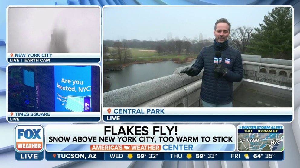
It was snowing in New York City. Unfortunately, it was too warm for it to stick. FOX Weather's Nick Kosir with the latest.
NEW YORK – Winter and snow lovers in New York City will need to wait a bit longer to enjoy the flakes falling from the sky.
While temperatures were cold enough at high altitudes for snowflakes to form, temperatures at ground level were too warm for the snowflakes to stick.
Because of this, the observation station at Central Park recorded only a trace of snow today, putting New York City one day closer to reaching its record of a snowless streak.
The record for New York City's latest first snow was set on Jan. 29, 1973. And with no real snow chances in the forecast for the next several days, there’s a possibility that this winter could go down in the record books.
In fact, no snow has been measured in New York City since March 9, 2022, when 0.4 inches of snow fell. Since then, the city has been in a snow drought. And with snow no longer expected in New York City on Wednesday, that will place this winter in second place for the longest snowless streak at 322 days.
Has it snowed in New York City this winter?
If you’re in New York City, you may be saying to yourself, "But I’ve seen snow falling from the sky this winter."
That's true. But it doesn't count, unfortunately.
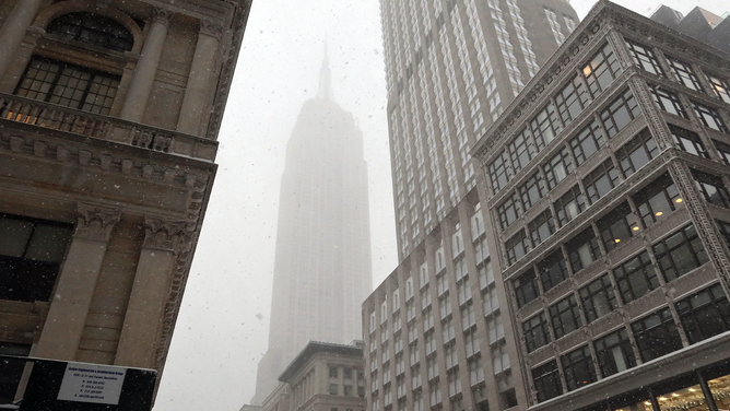
FILE - Snow shrouds the Empire State Building during a snowstorm on Jan. 29, 2022, in New York City.
(Gary Hershorn / Getty Images)
Snow accumulation of at least 0.1 inches must be recorded for the National Weather Service to consider it a measurable snowfall.
And while millions of New Yorkers have experienced snow flurries, it wasn't nearly enough to be considered measurable.
Winter storm moves into Northeast
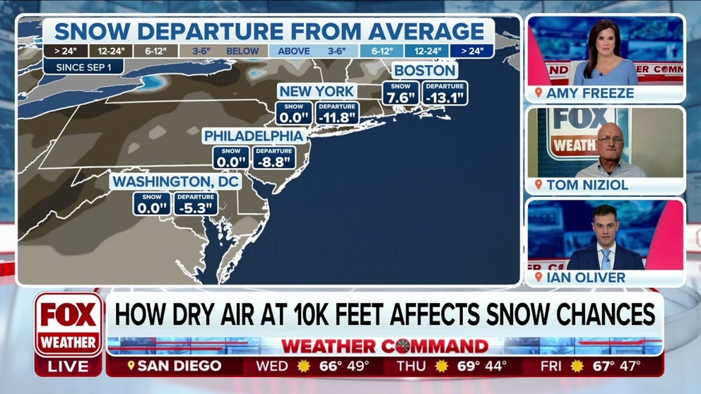
Why dry air is affecting the limited snowfall across the I-95 corridor
FOX Weather Winter Storm Specialist Tom Niziol explains how dry air at 10,000 feet in the air is affecting snow chances in the Northeast.
A powerful winter storm is making its way across the Midwest and Northeast on Wednesday, and some heavy snow is expected in upstate New York and across northern New England.
But once again, areas along the Interstate 95 corridor from Boston through Providence, Rhode Island, New Haven, Connecticut, New York City, Philadelphia, Baltimore and Washington will have mainly a rain event with this storm.
"A lot of it has to do with the storm track," FOX Weather winter storm specialist Tom Niziol said. "These tracks have been too far west to really allow cold air to lock in across the East."
That’s why most of the winter storms that have impacted the region this winter have been mostly rain events along the I-95 corridor.
Technically, it snowed in New York City on Wednesday, but it happened about 10,000 feet in the air and didn’t reach the ground.
This is mostly because of the dry air aloft.
As the snow descended toward the ground, it encountered that layer of dry air and evaporated before it could reach the ground.

Snow turns into rain in New York City
While temperatures were cold enough for snow to form at higher altitudes, temperatures were too warm on the ground for the snow to stick. (Courtesy: Susie Donah and TJ Matthews)
"Earlier this morning, there was very dry air, and as that air moistened up, the temperature dropped rapidly," Niziol said. "So, the temperatures are down in the teens aloft. As we move through the day here and go into the afternoon and evening hours, the temperatures in places like Albany (New York) are going to stay roughly in the low-30s."
It will be cold enough to support snow there, but as the system continues to move across the region, it will pull in the warmer air, preventing snow in New York City and along the I-95 corridor, including southern New England.