Why rare 'high risk' flood days need to be taken seriously
High risks are only issued on about 4% of days (including tropical and non-tropical events), but this risk category accounts for 39% of flood-related fatalities and 83% of flood-related damages in the continental U.S., according to research by meteorologists at NOAA's Weather Prediction Center.
Explaining Flood Alerts from the NWS
Flood alerts? The National Weather Service has been issuing flood alerts for years, here is how do you understand them and what do they mean.
When you hear that your area has a "high risk" of flash flooding, it’s an urgent matter that needs to be taken seriously as it's among the most dangerous outlooks that forecasters can issue.
NOAA's Weather Prediction Center (WPC) is the agency responsible for issuing daily excessive rainfall outlooks. The outlooks use four categories – marginal, slight, moderate and high – to indicate the probability of excessive rainfall leading to rapid-onset flooding within 25 miles of a point.
When a high risk – the highest risk level that can be issued – is in place, it means severe, widespread flash floods are expected in the highlighted areas.
"Areas that don't normally experience flash flooding, could," the WPC says. "Lives and property (are) in greater danger."
WHICH STATES ARE MOST AT RISK FOR FLOODING?

NOAA's Weather Prediction Center is responsible for issuing daily excessive rainfall outlooks.
(NOAA/WPC / NOAA)
High risks are only issued on about 4% of days (including tropical and non-tropical events), but this risk category accounts for 39% of flood-related fatalities and 83% of flood-related damages in the continental U.S., according to research by WPC meteorologists.
What's more, 46% of high-risk flood days have at least one fatality or injury, and 62% of such days have at least $1 million in damages, Greg Carbin, forecast operations branch chief at the WPC, noted in the research.
HERE'S WHAT TO DO AFTER YOUR CAR IS FLOODED

This image shows statistics about high-risk flood days.
(NOAA/WPC / NOAA)
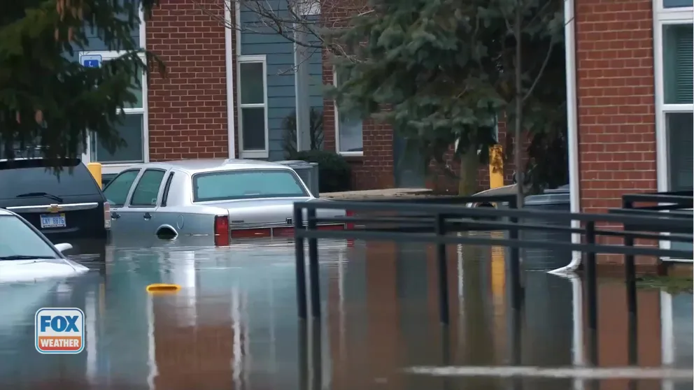
This is not your typical flash flood threat.
Your commute to work or school, the subway system, a parking lot, the street on which you live or even your home are all areas that could become inundated by floodwaters on a high-risk flood day. This can include areas that have never flooded in the past.
High-risk flooding outlooks are most common in parts of the South, including Louisiana, Mississippi, Arkansas and Texas.
EXPLAINING FLOOD ALERTS ISSUED BY THE NATIONAL WEATHER SERVICE

This map shows the number of high-risk flooding forecasts issued within each National Weather Service office's area of responsibility between 2016 and 2022.
(NOAA/WPC / NOAA)
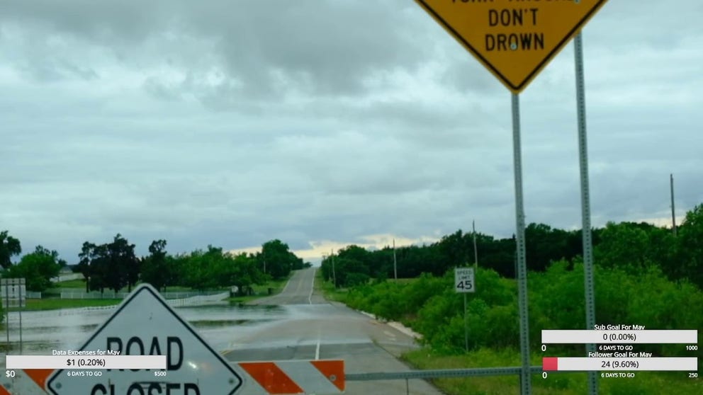
Turn around, don't drown
Many people underestimate the force and power of water.
"A mere 6 inches of fast-moving floodwater can knock over an adult," the National Weather Service says. "It takes just 12 inches of rushing water to carry away most cars, and just 2 feet of rushing water can carry away SUVs and trucks. It is NEVER safe to drive or walk into floodwaters."
AMAZON DELIVERY DRIVER LIVES ‘TURN AROUND, DON’T DROWN'
Driver ignores 'turn around don't drown' sign
A car driving down an Oklahoma City road looked more like it was on a water ride after two days of flooding rain.
And remember: turn around, don't drown. Almost half of all flash flood deaths happen in vehicles, according to FEMA.
Be sure to pay close attention to your FOX Weather app and any government-issued alerts from the NWS that will warn you of life-threatening flooding at your location.