

Severe storms to plague the Northern US with persistent rainfall and gusty winds this weekend
Wet weather will continue on Friday as the low-pressure area shifts over Southeastern Canada, bringing downpours to cities like Syracuse, New York, Burlington, Vermont, and Bangor, Maine.
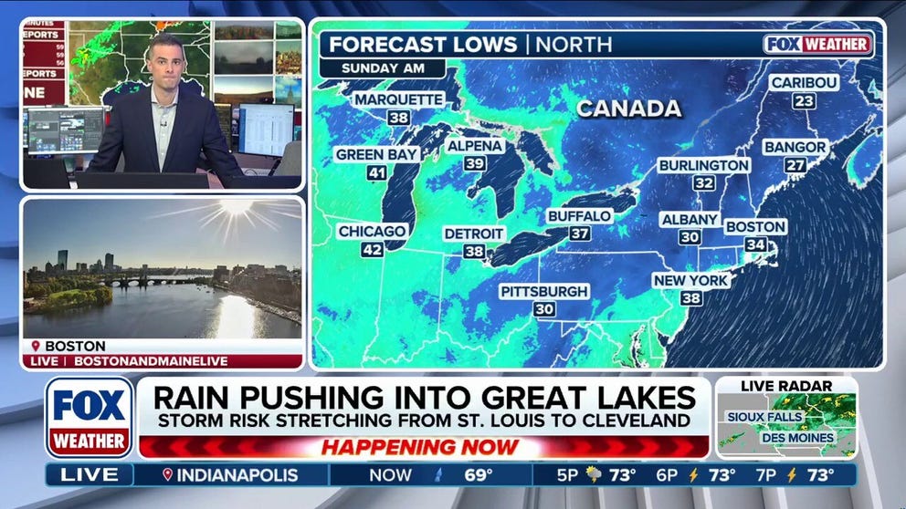
Severe storms target the Northern US with heavy rain and gusty winds this weekend
🌧️ WEEKEND WASHOUT: FOX Weather Meteorologist Ian Oliver shares an update on the impending wet weather headed for the Northern U.S. as severe storms will bring heavy rain and gusty winds this weekend.
THE TAKEAWAY
- A massive cold front is setting the stage for a weekend of severe storms across the Northern U.S.
- Wet weather will continue Friday, bringing downpours to cities like Syracuse, New York; Burlington, Vermont; and Bangor, Maine.
- Severe storms will bring cold temperatures.
A massive cold front is setting the stage for a weekend of severe storms across the northern U.S., as a low-pressure system and the front usher in days of rain across the Great Lakes, Midwest and Northeast.
Moderate rainfall began across portions of the Midwest and Great Lakes on Thursday, steadily intensifying into potential severe storms overnight.
As a result, a Level 1 out of 5 severe storm threat is in place, stretching from St. Louis to Cleveland. If storms continue to intensify, the main threat would become damaging wind gusts.
(FOX Weather)
Other popular cities in the threat zone include Chicago, Detroit, Milwaukee and Indianapolis.
SEVERE STORMS THREATEN NORTHEAST THIS WEEKEND — WHERE WILL THE HEAVIEST RAIN FALL?
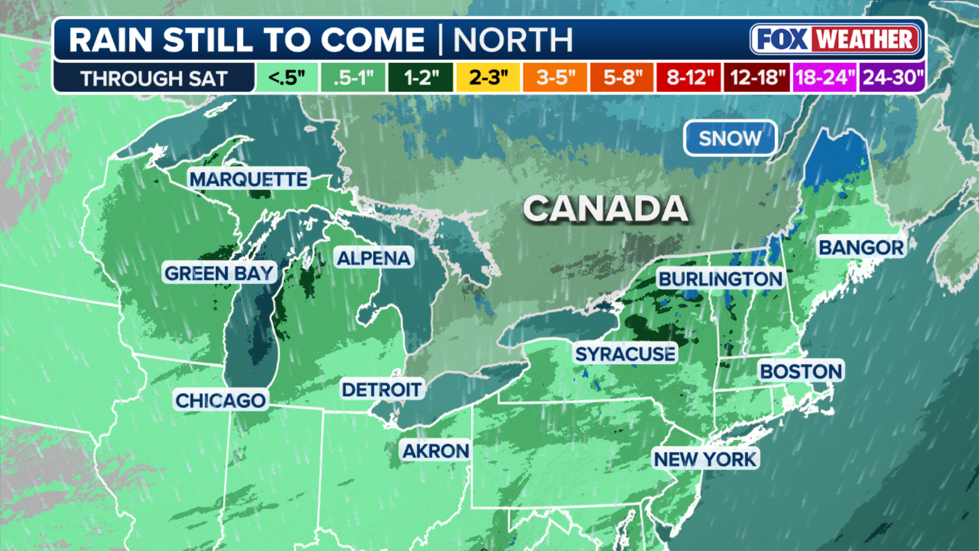
Wet weather will continue on Friday as the low-pressure area shifts over southeastern Canada, bringing downpours to cities like Syracuse, New York, Burlington, Vermont, and Bangor, Maine.
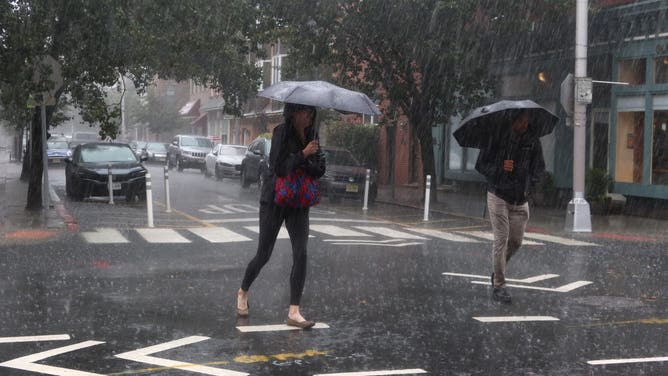
HOBOKEN, NJ - SEPTEMBER 29: People walk down the middle of a street during a heavy rain storm on September 29, 2023, in Hoboken, New Jersey. Much of the Northeast is experiencing severe flooding after heavy rains swept through the area this morning.
(Gary Hershorn / Getty Images)
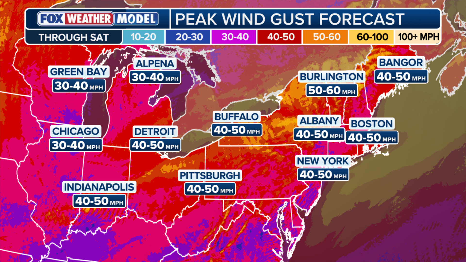
The fast-moving storms will bring wind gusts as strong as 30 to 40 mph, especially along the coast of New England.
POWERFUL STORM TO SLAM THE NORTHEAST WITH RAIN, DANGEROUS WINDS BEFORE FIRST MAJOR FALL FREEZE
This trend will continue overnight Friday as the cold front, combined with an area of low pressure, pushes eastward, setting the state up for nasty weather conditions Saturday along the I-95 corridor from Boston to New York City, with heavy precipitation.
As a result, a Level 2 out of 5 severe storm threat is in place headed into the weekend.
(FOX Weather)
By midday Saturday, wind gusts will decrease to around 20 to 30 mph, allowing drier conditions to return.
Despite this, light precipitation of 0.5 to 1 inch of rain could continue across the Great Lakes to New England and stretch into upstate New York, where totals could be closer to 1 to 2 inches.
ANOTHER COASTAL STORM COULD BE BREWING FOR EAST COAST WITH IMPACTS POSSIBLE EARLY NEXT WEEK
The messy weather will also bring cold temperatures, as breezy winds will keep it feeling like a normal fall day.