

Millions across 1,000+ miles under threat of thunderstorms, strong winds as severe storms target Northeast
Millions across 1,000+ miles under threat of thunderstorms, strong winds as severe storms target Northeast
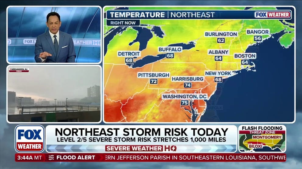
Severe storm risk for portions of the Northeast
Over 60 million Americans are at risk of severe storms across portions of the Northeast, with heavy rain, damaging winds, and possible flooding in some areas.
A line of severe storms is expected to slam the Northeast after a week of pleasant temperatures and sunshine across portions of the region.
Starting Thursday, a severe storm threat will plague the Northeast, bringing heavy rain and thunderstorms.
BOATING TRAGEDY: 3 DEAD AFTER AIRBOAT CAPSIZES IN FLORIDA RIVER
A Level 2 out of 5 severe weather risk is in place from New York City to Pittsburgh, but the exact timing of the storms remains uncertain.
This threat extends over 1,000 miles from northern Tennessee through western Maine.
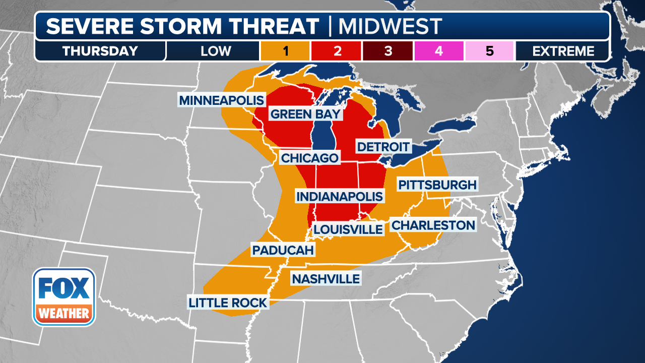
(FOX Weather)
"Showers and thunderstorms lingering into Wednesday night could leave behind cloud cover and rain-cooled air, limiting instability across parts of the Ohio Valley and Mid-Atlantic," the FOX Forecast Center said.
Despite this, forecasters predict there to be enough moisture and instability to surge to the north by midday Thursday.
THREAT ZONE HITS HIGHEST LEVEL AS DESTRUCTIVE TORNADOES, IMPACTFUL FLOODING THREATEN THE MIDWEST
The moisture, which is driven by an unusually powerful jet stream and a fast-moving cold front, will advance from the western U.S., triggering widespread thunderstorms.
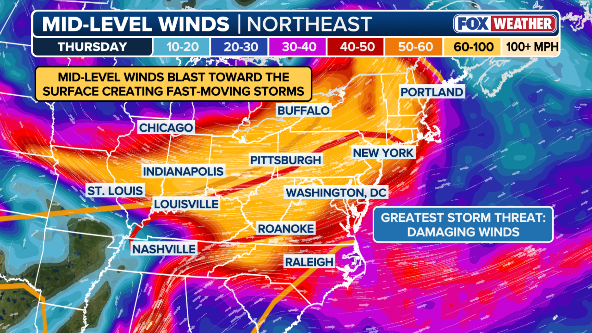
(FOX Weather)
According to the FOX Forecast Center, cooling air will allow for discrete storms capable of producing large and damaging hail.
Locations facing the greatest risk of these storms on Thursday include Washington, D.C., New York City and Philadelphia.
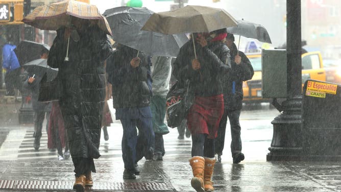
UNITED STATES - APRIL 15: Pedestrians shield themselves with umbrellas as they walk down a rain soaked street in the Brooklyn borough of New York on Sunday, April 15, 2007. A spring storm with sheeting rains and gusty winds moved into the northeastern U.S. today, canceling some weekend events and threatening highway and airline travel at the start of the workweek.
(Daniel Barry/Bloomberg / Getty Images)
As the persistent heavy rainfall continues, it will fuel a Level 2 out of 4 flash flood risk across portions of the Ohio Valley, West Virginia and Western Pennsylvania.
Forecasters note that along with this powerful area of low pressure, a tight wind gradient will set up over Lake Erie and Ontario, producing wind gusts of up to 55 mph along the shores.
As a result, wind alerts have been issued across the interior Northeast as a powerful area of low pressure approaches.
Flooding is possible through the evening hours along with the coastal threat.
WATCH: HEAVY RAIN TRIGGERS DANGEROUS FLASH FLOODING ACROSS TEXAS, PROMPTING MULTIPLE WATER RESCUES
Stay tuned to FOX Weather as we continue to track the severity of these developing storms.