Another round of rain, flash flood threats looms over Northeast, Ohio Valley to end the week
With saturated soils and high rainfall rates, a Level 2 out of 4 flash flood risk is in place for parts of the Ohio Valley both Friday and Saturday.
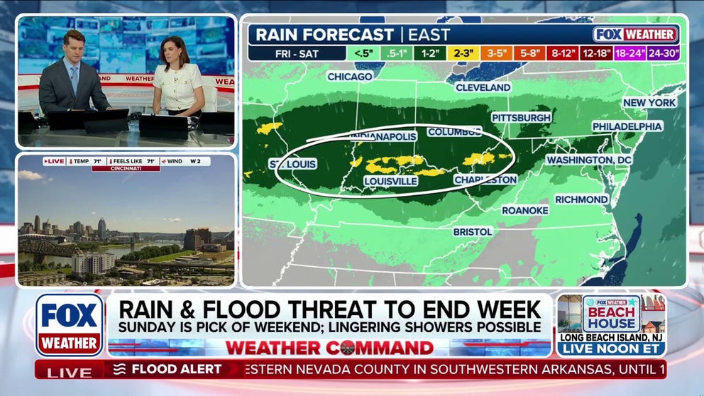
Rain and flash flood threats return to Northeast, Ohio Valley to end the week
After a brief break, umbrellas will be needed as more rain takes aim at the Northeast and Ohio Valley later this week, renewing the flood threat. While the first week of summer has been quite the bummer, more seasonable weather is expected by the beginning of next week. Latest:
While the East enjoys a few dry days after a stormy start to the week, the FOX Forecast Center is monitoring another round of rain and isolated flash flooding heading into the end of the workweek and the start of the weekend.
(FOX Weather)
MILLIONS AT RISK AS FLOOD THREAT EXPANDS FROM NEBRASKA TO FLORIDA PANHANDLE AMID TROPICAL DOWNPOURS
Recent heavy downpours and severe storms battered the Northeast and all along the I-95 corridor, prompting the NYNJ 2026 World Cup Fan Fest in Queens to close early and delaying the FIFA World Cup match between France and Iraq in Philadelphia, Pennsylvania.

Heavy rain falls at train station in Newark, New Jersey
Heavy downpours come down at a train station in Newark, New Jersey, on Monday night.
To say the least, the start of summer has been damp across the East, and after a brief break, more rain is in the forecast.
Thursday evening, an area of low pressure affecting the Plains will begin moving east into the Great Lakes.
By Friday morning, the system will be tracking through the Northeast with a trailing cold front extending from New York through the Ohio Valley and Midwest. This front will serve as the focus for showers and downpours Friday afternoon.
With saturated soils and high rainfall rates, a Level 2 out of 4 flash flood risk is in place for parts of the Ohio Valley both Friday and Saturday, including cities like St. Louis, Indianapolis, Cincinnati, and Louisville.

(FOX Weather)
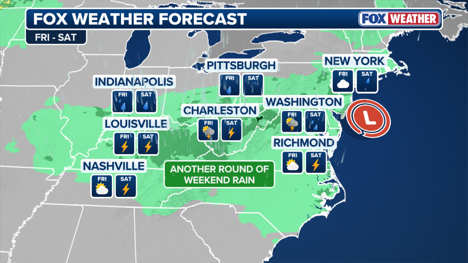
On Saturday, the area of low pressure will continue east and be positioned near far eastern Maine.
As the trailing cold front slows, instability will increase ahead of it while moisture surges northward from the Gulf and Atlantic, the FOX Forecast Center said.
TRACKING THE TROPICS: INVEST 94E DEVELOPMENT ODDS GROWING IN THE PACIFIC AS EL NIÑO INTENSIFIES
Showers and downpours are expected to develop across the Mid-Atlantic and Northeast, including areas from Cincinnati, Ohio, to Washington, DC, and New York City, during the afternoon.
While severe weather and flash flood threats remain low right now, the forecast will be updated over the coming days and could change.
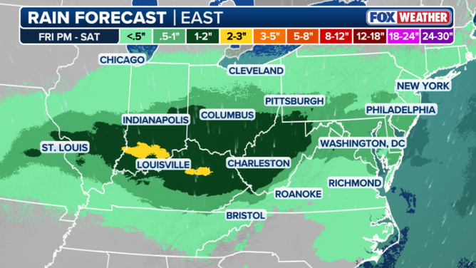
Rainfall outlook across the Eastern U.S. Friday night through Saturday.
(FOX Weather)
By early Sunday, widespread rainfall totals of 1 to 2 inches are possible from southern Indiana through West Virginia, Pennsylvania, and New Jersey, with localized amounts exceeding 3 inches possible where slower-moving thunderstorms develop.
Some lingering showers are possible Sunday across parts of the Northeast with leftover instability in the atmosphere before drier and more seasonable weather is expected to return by Monday.