

Tropical development unlikely off Southeast coast, with dry air reducing chances of July 4 showers for region
So far this hurricane season, the Atlantic has only seen one named storm, Tropical Storm Arthur, which was short-lived and disorganized over the Gulf.
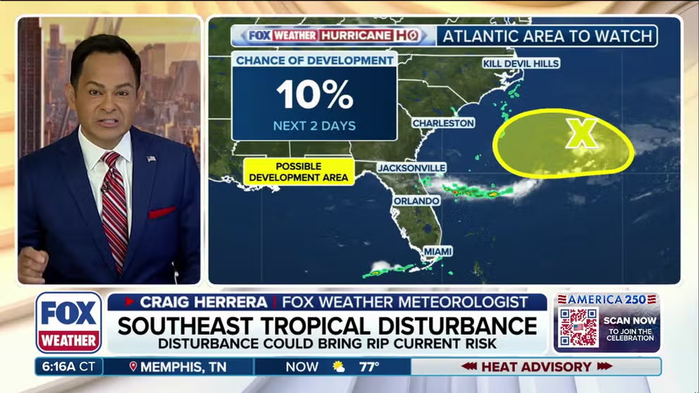
Tropical development unlikely off Southeast coast, with reduced chances of July 4 showers for region
Odds of tropical development have decreased for an area to watch off the Southeast Coast but could still deliver a very brief round of showers to parts of the region on July 4, even if it never becomes tropical.
Odds of tropical development have decreased for an area to watch off the Southeast Coast but could still deliver a very brief round of showers to parts of the region on the July 4 holiday, even if it never becomes tropical.
So far this hurricane season, the Atlantic has only seen one named storm, Tropical Storm Arthur, which was short-lived and disorganized over the Gulf.
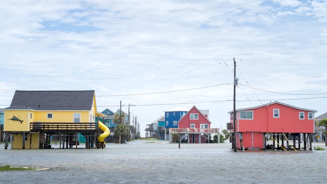
FREEPORT, TEXAS - JUNE 17: Floodwater surrounds a neighborhood after Tropical Storm Arthur made landfall on June 17, 2026 in Freeport, Texas.
(Photo by Brandon Bell/Getty Images / Getty Images)
The National Hurricane Center (NHC) designated this area to watch off the Southeast coast last Thursday.
It's currently being given a 0% chance of developing into a tropical depression.
BRYAN NORCROSS: KEEPING A HALF AN EYE ON AN AREA OF LOW PRESSURE OFF THE SOUTHEAST COAST

(FOX Weather)
The FOX Forecast Center said that the focus of this possible tropical activity is a drawn-out area of low pressure that's tied to leftover energy from a previous system, called a frontal zone.
While this area of low pressure could develop circulation, the air associated with the heat dome that's expected to bring triple-digit temperatures to the East Coast will be very dry, which should further inhibit development.
HOW HIGH PRESSURE AND LOW PRESSURE DRIVE THE WEATHER
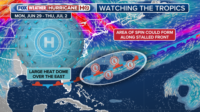
Overview of potential tropical development factors in Atlantic.
(FOX Weather)
Outside the potential for a brief round of July 4 showers across parts of the Southeast Coast, FOX Weather Meteorologist Britta Merwin cautioned that people headed to the beach to celebrate America 250 could face an increased risk of rip currents from any spin generated by the system.
"I would say safely from North Carolina to northeast Florida, we have to look out for a higher chance of rip currents and some rough waves, as we work our way through this weekend," Merwin said.
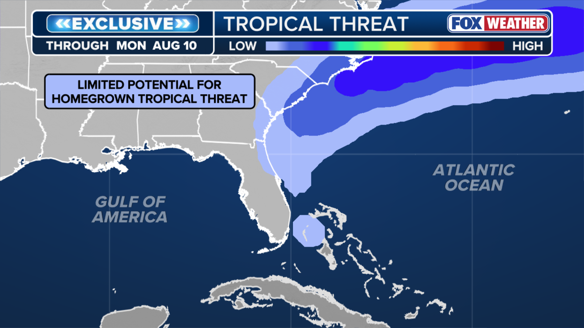
(FOX Weather)
For now, coastal residents don't need to worry, but should keep an eye on forecasts as we approach the July 4 holiday weekend.
Rest of the Atlantic
Outside this low-end threat, the rest of the Atlantic basin remains entirely closed for business with no tropical development expected through the end of the month, the FOX Forecast Center said.
Thick Saharan dust is expected to continue to suppress tropical activity, acting like a heavy blanket by drying out the atmosphere.
SAHARAN DUST SETTLES OVER HURRICANE BREEDING GROUNDS. HERE'S WHAT IT MEANS FOR HURRICANE SEASON
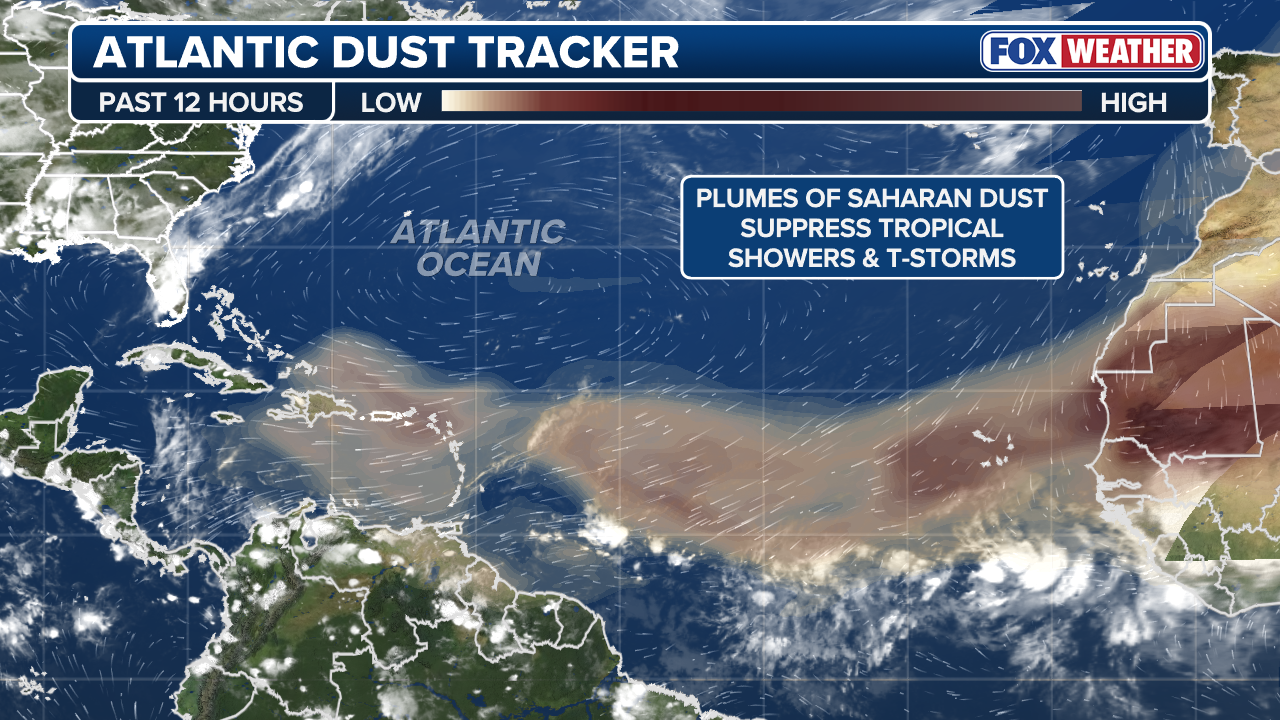
(FOX Weather)
In addition, computer forecast models are starting to crank up hostile winds heading into July, the FOX Forecast Center said.
The FOX Forecast Center said a long fetch of very strong winds in the upper atmosphere is expected to take over much of the Atlantic basin, peaking over the main development region of the Atlantic between Africa and the Caribbean.
This will significantly disrupt any tropical wave or burst of storms that tries to form.
In an average season, the Atlantic sees its B storm name by June 24 and its C name by July 6.