NOAA: La Niña expected for beginning of winter, neutral conditions likely in 2026
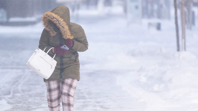
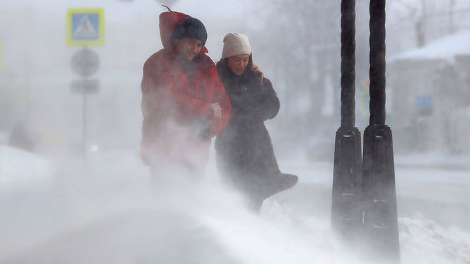
As La Niña increases in influence through December, NOAA's Climate Prediction Center expects more chances for arctic air to funnel into the Lower 48 bringing frigid temperatures and potentially snow.
la

La Nina is here -- what does that mean for the winter?
Montana State Earth Sciences Prof. Eric Sproles joins FOX Weather to talk about the arrival of La Nina and its expected impacts on winter.
A weak La Niña climate pattern has taken hold of the U.S. and the National Oceanic and Atmospheric Administration (NOAA), announced Thursday that it expects this weak La Niña to persist through the beginning of winter and into the early part of 2026.
NOAA expects La Niña conditions to become more influential on U.S. weather through December.
WHAT ARE EL NINO AND LA NINA CLIMATE PATTERNS?
![Snow-laden trees near 10th and Baltimore in Kansas City are seen, Tuesday, February 26, 2013, while the second major snowstorm hit the Kansas City metro in less than a week.]() Image 1 of 8
Image 1 of 8FILE - Snow-laden trees near 10th and Baltimore in Kansas City are seen, Tuesday, February 26, 2013, while the second major snowstorm hit the Kansas City metro in less than a week. (Keith Myers/Kansas City Star/Tribune News Service via Getty Images)
![Flagstaff Snow]() Image 2 of 8
Image 2 of 8FILE - A Flagstaff resident cleaning the sidewalk again adding to the snow mound almost as high as she is. ( )
![]() Image 3 of 8
Image 3 of 8FILE - MINNEAPOLIS, MN. - DECEMBER 2022: A pedestrian walks down Nicollet Mall while high winds kick up snow Thursday, Dec. 22, 2022 in downtown Minneapolis. (Photo by Alex Kormann/Star Tribune via Getty Images) ( )
![FILE: Northbound traffic on I-95 is at a standstill following a tractor trailer that jack-knived in the snowstorm.]() Image 4 of 8
Image 4 of 8FILE: Northbound traffic on I-95 is at a standstill following a tractor trailer that jack-knived in the snowstorm. ( Jill Brady / Portland Press Herald)
![]() Image 5 of 8
Image 5 of 8A man walking in his shorts during a snowstorm on January 23, 2016 in New York. (FRANCOIS XAVIER MARIT)
![Bowie, the golden retriever, having some extra fun on his morning walk in Bayonne, NJ on Jan. 7, 2022. (Image: Sebastienne Sliwowski)]() Image 6 of 8
Image 6 of 8Bowie, the golden retriever, having some extra fun on his morning walk in Bayonne, NJ on Jan. 7, 2022. (Image: Sebastienne Sliwowski) ( )
![]() Image 7 of 8
Image 7 of 8People walk in a street during a snowstorm. (Nail Fattakhov\TASS via Getty Images)
![]() Image 8 of 8
Image 8 of 8Snow Plow (North Carolina DOT)


La Niña is one of three climatological phases of the El Niño-Southern Oscillation (ENSO) that describe natural changes in Pacific Ocean temperatures and atmospheric circulation that can greatly influence global weather.
While La Niña describes colder conditions, El Niño describes warmer conditions and ENSO neutral refers to a state where temperatures are close to average.
HOW MUCH WILL IT SNOW ACROSS AMERICA? EARLY FLAKE OUTLOOK FOR BREWING LA NIÑA WINTER

NOAA: La Niña likely by December
FOX Weather Meteorologists Jane Minar and Marissa Torres discuss the impacts of the La Nina climate pattern on this winter season.
The Northern Tier and Northwest typically see more snow during La Niña winters, while the southern part of the country typically stays warm and dry.
LA NIÑA WINTER: TOP 5 WARM WEATHER DESTINATIONS TO VISIT AS BITTER COLD TEMPERATURES INVADE THE US

NOAA expects above-average temperatures across the eastern half of the country through the end of November.
(FOX Weather / FOX Weather)
NOAA noted that this La Niña is not particularly strong, meaning that some of those typical impacts might not be seen this season.
However, other key patterns, the North Atlantic Oscillation (NAO), Arctic Oscillation (AO), and the Western Pacific Oscillation (WPO), together with La Niña will shape the weather across the next two months.
Both the NAO and AO are currently indicating a more amplified jet stream across the Lower 48, meaning stormier weather to end the month. These expectations also tie into the WPO which is pointing to warmer and wetter conditions across the East and cooler conditions across the West.
ESCAPE WINTER: CHECK OUT THE TOP 5 WARM-WEATHER DESTINATIONS TO VISIT THIS WINTER
According to the FOX Forecast Center, all these patterns together signal warmer-than-average temperatures and wetter-than-average conditions for the eastern part of the country to end November. Meanwhile, colder-than-average conditions are expected to persist across California and the Northwest across that timeframe.
As La Niña increases in influence through December, NOAA's Climate Prediction Center expects more chances for arctic air to funnel into the Lower 48 bringing frigid temperatures and potentially snow.

NOAA's Climate Prediction Center expects below average temperatures to return to the northern half of the country beginning in late November.
(FOX Weather)
NOAA said La Niña will likely give way to ENSO neutral conditions sometime between January and March 2026.
Neutral conditions have historically brought increased snowfall totals to the Northeast.