

Isaias marches up East Coast, threatening millions with flooding rain and severe storms Sunday
Major cities along the I- 95 corridor, including Washington, D.C., Baltimore, Philadelphia and New York City, could see a complete washout Sunday.
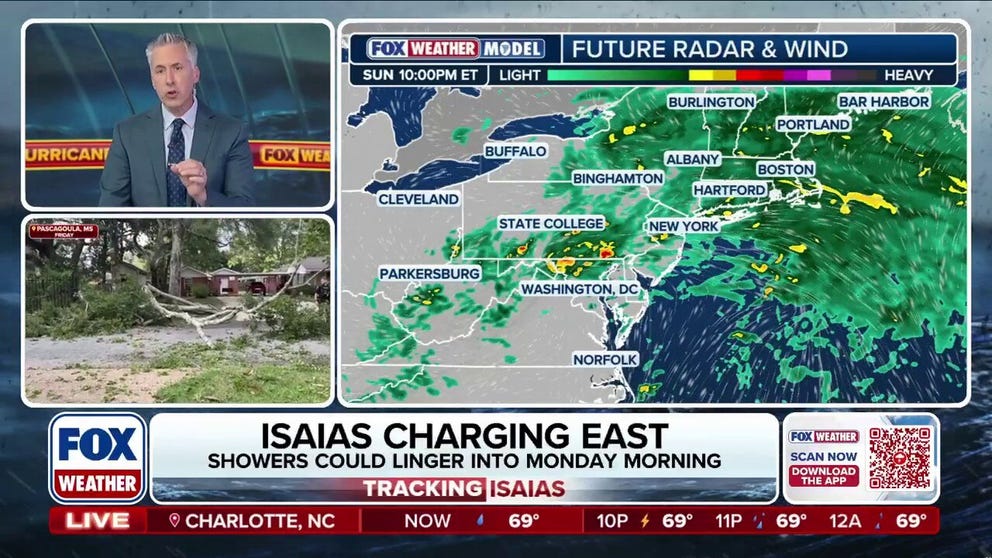
Isaias remnants sweep East with a Sunday washout expected for major cities
Heading into Sunday, the remnants of Isaias will meet up with an incoming dip in the jet stream. This will push the system to the east while providing enhanced lift — the result of which will be widespread rain spreading into the Northeast and Mid-Atlantic.
As the remnants of Hurricane Isaias move farther inland Sunday, millions of people across the Northeast and Mid-Atlantic are bracing for a soggy end to the weekend, with heavy rain, flooding and even severe thunderstorms possible.
According to the FOX Forecast Center, the remnants of Isaias will interact with a dip in the jet stream, helping push the storm system east while increasing the chances for widespread rain across the region.
TROPICAL STORM RACHEL FUELS MAJOR WEST COAST FLOOD THREAT WITH MONTHS OF RAIN POSSIBLE IN HOURS
(FOX Weather)
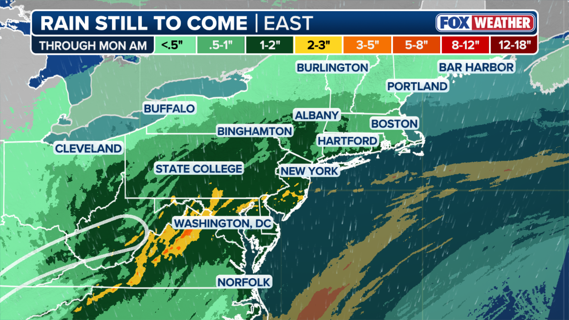
Major cities along the Interstate 95 corridor, including Washington, D.C., Baltimore, Philadelphia and New York City, could see a complete washout Sunday, with rain expected to fall throughout much of the day. Similar conditions are expected farther inland in Pittsburgh, Cleveland and Charleston, West Virginia.
WHAT'S THE DIFFERENCE BETWEEN A HURRICANE MAKING A DIRECT HIT AND LANDFALL?
While widespread flooding is not expected, the tropical moisture left behind by Isaias could lead to pockets of flooding, particularly across the Mid-Atlantic.

(FOX Weather)
The FOX Forecast Center said a Level 1 out of 4 flash flood risk stretches from New York City to Washington, D.C., south toward North Carolina's Outer Banks and west into West Virginia.
EYE OF THE SEASON: THE MOST NOTABLE ATLANTIC HURRICANES DURING EL NIÑO YEARS
Most areas are expected to receive 1 to 2 inches of rain, although higher totals are possible along the I-95 corridor, especially from Washington through Philadelphia and into New York City.

(FOX Weather)
Farther south, the threat of severe weather will continue across portions of the Mid-Atlantic and Carolinas, where warmer temperatures and abundant moisture could fuel stronger thunderstorms.
A Level 2 out of 5 severe weather threat is in place from the Washington, D.C., area south toward Wilmington, North Carolina. According to the FOX Forecast Center, the primary concerns will be isolated tornadoes that develop quickly and damaging wind gusts reaching 60 mph.
7 FACTS YOU SHOULD KNOW ABOUT FLASH FLOODS
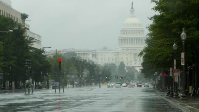
Washington, United States of America, Pennsylvania street with few vehicles, streets usually crowded.
(stefanofiorentino / Getty Images)
By Monday morning, the remnants of Isaias are expected to race out of New England and into the North Atlantic. Some lingering showers and clouds could stick around through the morning before conditions begin improving around midday.