Fast-moving winter storm creates slick roads in Michigan, heavy snowfall accumulations in Minnesota
This storm first impacted portions of the northern Plains and Upper Midwest, including Minneapolis, on Wednesday. The Twin Cities picked up nearly as much snow on Valentine's Day as they had previously received all winter.
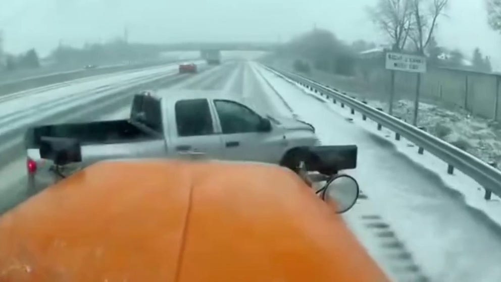
Watch: Snow plow involved in crash on slick roadway in Michigan
A pickup truck lost control in snow and got hit by plow on I-75 in Michigan on Thursday.
DETROIT – A quick-moving storm system produced some of the heaviest snowfall of the season for some communities in the Upper Midwest, with some locales reported more than half a foot of new powder.
The wintry precipitation also caused travel problems on roadways, with a dashcam aboard a snowplow catching video of a collision along Interstate 75 northwest of Detroit.
The clipper system first impacted portions of the northern Plains and Upper Midwest, including Minneapolis, on Wednesday.
In fact, Minneapolis picked up 6.9 inches of snow on Wednesday, which broke its old daily record of 6.4 inches set back in 1950.
‘STOP HITTING OUR PLOWS:’ OHIO AMONG SEVERAL STATES REPORTING SNOWPLOW-INVOLVED CRASHES THIS WINTER
Until the snowstorm on Valentine’s Day, Minneapolis had only received 7.3 inches of snow for the entire winter.
Before the system, Minneapolis was experiencing its least-snowiest winter to date but has since jumped to the 14th-least snowy winter because of the accumulating snow on Wednesday.
The metro area is still 20.3 inches below the average snow to date of 34.5 inches.
The heaviest snowfall occurred in Huron, South Dakota, where 8.8" of new powder fell.

Snowfall accumulations from a clipper system
(FOX Weather)
DOWNLOAD THE FREE FOX WEATHER APP
Only a few inches of snow fell in parts Vermont, New Hampshire and Massachusetts, as the system lacked organization and moisture to become a significant entity.
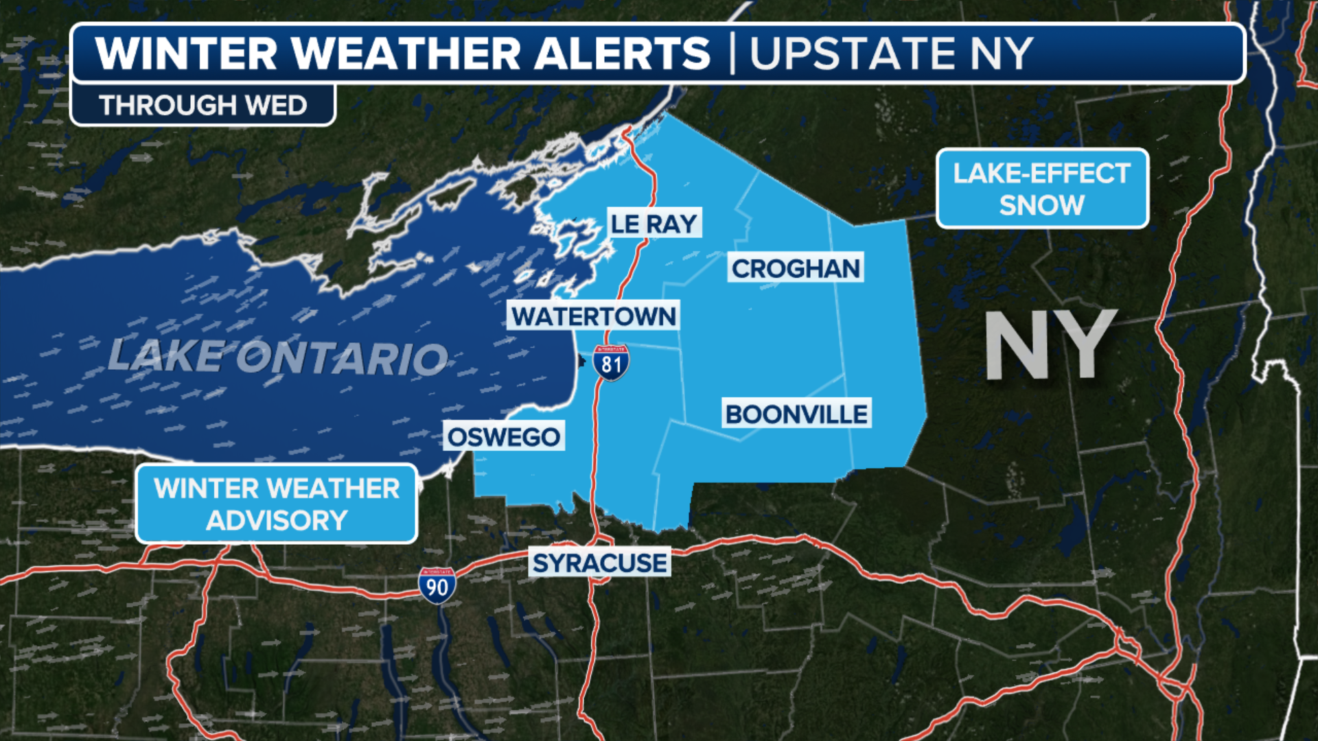
The FOX Forecast Center was expecting wind gusts of 40-50 mph around the eastern Great Lakes and extending into upstate New York and northeastern Pennsylvania. Wind Advisories were issued in New York state, including Buffalo, Syracuse, Albany and Binghamton, as the system moved through.
HOW MANY CALORIES DOES SHOVELING SNOW BURN?

(FOX Weather)
New England can also expect lingering snow showers on Friday, but those will gradually dissipate as the storm system moves out of the region.
DRIVING ON THE ICE AND DRIVING IN THE SNOW: WEATHER DRIVING TIPS FOR DRIVING IN INCLEMENT WEATHER
Second storm enters the picture

(FOX Weather)
As that first storm exits the U.S., a second storm will push out of the Rockies and into the Plains.
The FOX Forecast Center said it will dump more snow on South Dakota, which picked up as much as 8 inches from the first storm system.
Total snow accumulations between the two storms could be around a foot, with some locally higher amounts.
As the storm dives south, snow is expected in cities such as Omaha in Nebraska, Kansas City and St. Louis in Missouri, Indianapolis and Louisville in Kentucky through Friday.
SNOW SHOVELING SAFETY: THE EASIEST AND SAFEST WAY TO CLEAR THAT DRIVEWAY AFTER A SNOWSTORM

(FOX Weather)
NOAA’s Weather Prediction Center (WPC) said that by Friday night, the storm will restrengthen as it reaches the mid-Atlantic, with areas of moderate to heavy snow bringing light snowfall accumulations to the Ohio Valley on Friday evening, then over the northern mid-Atlantic states from Friday night into Saturday morning.
The WPC said the Potomac Highlands of West Virginia and Allegheny Mountains from western Maryland to south-central Pennsylvania will have the greatest chance of seeing snowfall totals over 4 inches Friday night.
However, the WPC said anywhere from 1-3 inches of snow is possible from the mid-Mississippi Valley on Friday and the Ohio Valley on Friday evening to the Washington and Baltimore areas northward to Philadelphia early Saturday morning.
HOW TO SUCCESSFULLY DIG YOUR CAR OUT FROM THE SNOW, AFTER YOU FIND IT
(FOX Weather)
Because of the winter weather threat, Winter Storm Warnings and Winter Weather Advisories have been issued in the Northeast and New England.
The Winter Storm Warnings are in effect for northern portions of central and upstate New York, including Watertown, Oswego and Indian Lake. The Winter Weather Advisories are in effect for most of Vermont, including Montpelier, northern New Hampshire, including Berlin, and central Maine.
Travel there is expected to be hazardous in parts of the region on any roads that have not been treated from Friday night into Saturday morning.