Storm system to bring icy conditions across interior Northeast
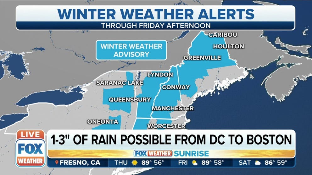
Winter Weather Advisories are in effect for parts of the interior Northeast and New England
Freezing rain brings icy conditions to interior Northeast on Thursday
Between one-tenth and one-quarter inch of ice accretion will make travel extremely treacherous in these areas. Heavy snow could also pile up in parts of northern Maine.
A storm system that brought deadly tornadoes to the South this week will finally exit the East Coast on Thursday, but before it does, it will bring heavy rain and a wintry mix to the Northeast and New England through the end of the week.
HOW TO WATCH FOX WEATHER ON TV

The National Weather Service says a secondary low-pressure system will develop and move up the East Coast, and that will allow for the wintry mix to move into the Northeast and New England.
Light ice accretions will be possible, mainly in the higher elevations across the Adirondacks and Catskills of New York and to the east through parts of northwestern Connecticut, western and central Massachusetts, Vermont, New Hampshire and Maine.
Most areas will see less than one-tenth of an inch of ice, but locally higher amounts of up to one-quarter to one-half inch could fall in the White Mountains of northern New Hampshire.
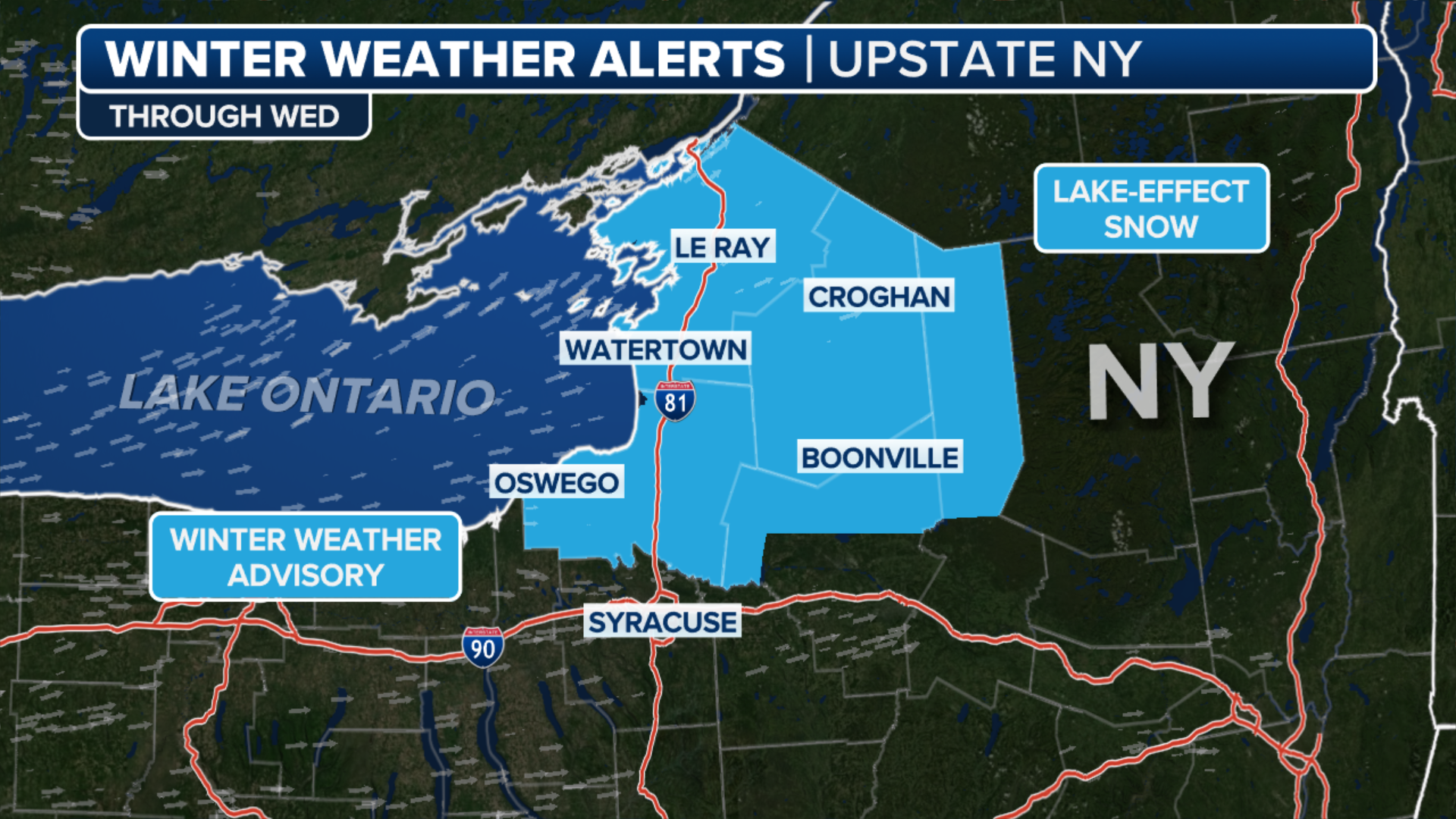
Winter Weather Advisories have been issued across the higher terrain of the interior Northeast as the storm system moves up the coast on Thursday.
The advisories in New York, northwestern Connecticut and Massachusetts are expected to expire at noon on Thursday, while the ones in effect across Vermont and New Hampshire and parts of southern Maine will expire at 2 p.m.
Northern Maine will remain under the advisory until Friday afternoon.

In areas too warm to support wintry weather, heavy rain will fall.
Southern New England will see the highest totals through the weekend, with most areas from Hartford to Providence and Boston picking up between 1 and 2 inches of rain.