Hurricane-force wind gusts down trees, power lines across Kansas
Thunderstorm wind gusts reached 85 mph in this region with hail the size of golf balls and larger.
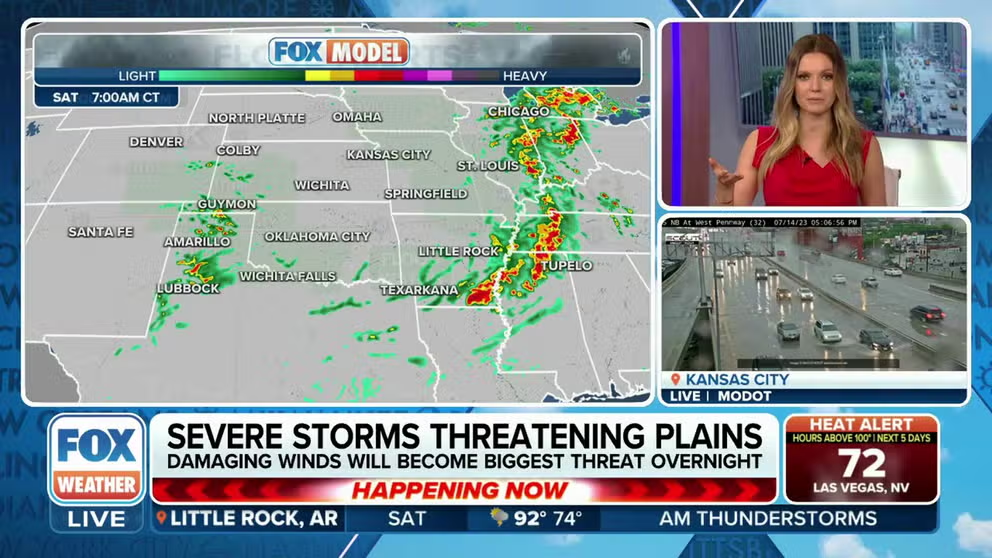
More than 13 million under Severe Thunderstorm Watches
Severe thunderstorms are impacting the Plains and the Midwest with hurricane-force wind gusts and large hail.
More than 13 million residents from the Plains through Midwest were placed under Severe Thunderstorm Watches on Friday as complexes of thunderstorms marched across the region with damaging wind gusts and large hail.
NOAA's Storm Prediction Center upgraded parts of the Plains to a Level 3 on their 5-point severe weather risk scale which included much of Kansas, including Wichita and Topeka, and a sliver of northeastern Oklahoma and western Missouri, including Kansas City.
Thunderstorm wind gusts reached 85 mph in this region with hail the size of golf balls and larger.
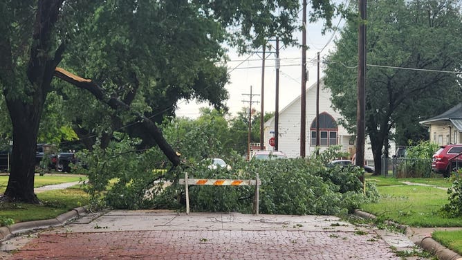
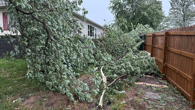
![Kansas Storm damage]() Image 1 of 6
Image 1 of 6Storm damage around Lyons, Kansas, on July 14, 2023. (Nick LoBurgio/Twitter)
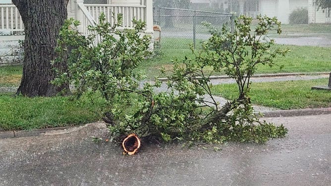
![Kansas Storm damage]() Image 2 of 6
Image 2 of 6Storm damage around Lyons, Kansas, on July 14, 2023. (Nick LoBurgio/Twitter)
![Kansas Storm damage]() Image 3 of 6
Image 3 of 6Storm damage around Lyons, Kansas, on July 14, 2023. (Nick LoBurgio/Twitter)
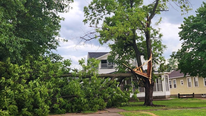
![A large tree limbs snapped during a storm lays on the street in Lyons, Kansas, on July 14, 2023.]() Image 4 of 6
Image 4 of 6A large tree limbs snapped during a storm lays on the street in Lyons, Kansas, on July 14, 2023. (Nick LoBurgio/Twitter)
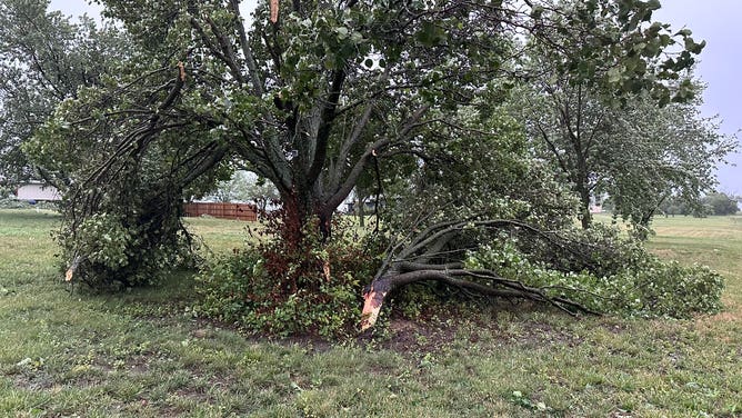
![Storm around Kansas]() Image 5 of 6
Image 5 of 6Storm around Iola, Kansas, on Friday, June, 14, 2023. (Trey Garland)
![Storm around Kansas]() Image 6 of 6
Image 6 of 6Storm around Iola, Kansas, on Friday, June, 14, 2023. (Trey Garland)

A line of strong to severe thunderstorms marched through Kansas knocking down parts of trees and leaving more than 100,000 without power.
The SPC received dozens of reports of severe weather with winds gusts leading to damaged roofs and down trees.
In addition to the severe aspects, the storms produced heavy rainfall which some areas are in desperate need of.
"The possibility is there for some isolated flash flooding. But the good thing is, with all of this rain that we've been seeing so far through the month of July, it's eventually going to help out the drought monitor," said FOX Weather meteorologist Brigit Mahoney.