

Over 700K power outages remain as slow-moving storms could produce significant flooding in Mid-Atlantic
A Flood Watch has been issued for 40 million Americans through Monday evening.
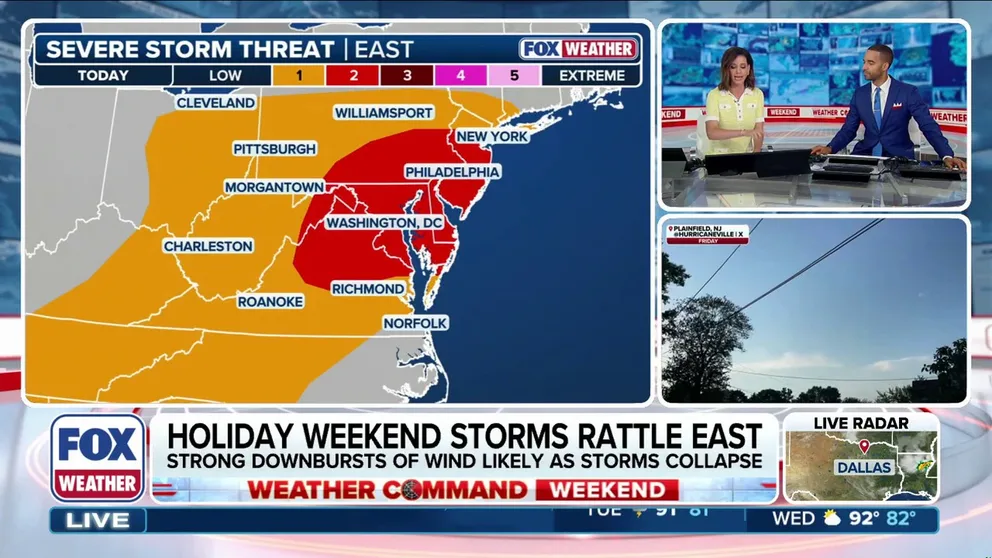
Heat-fueled thunderstorms and damaging winds set sights on Mid-Atlantic
Severe thunderstorms that impacted much of the Northeast and Mid-Atlantic on the Fourth of July will continue and round out the holiday weekend. Travelers heading home from the holiday weekend should prepare for sudden visibility drops and localized road closures.
Severe thunderstorms that impacted much of the Northeast and Mid-Atlantic on the Fourth of July will continue and round out the holiday weekend with potentially dangerous flash flooding expected.
Over 750,000 Americans across the country are still without power as of 6 p.m. Sunday. Of that number, both Michigan and Pennsylvania have over 130,000 outages each, according to PowerOutage.us.
While the intense heat starts to ease Sunday, the severe weather threat will linger. A stalled front draped across northern Mid-Atlantic states is setting the stage for a very dangerous flash flooding event Sunday night and into Monday morning.
A firehouse of rich moisture from the Gulf of America is feeding directly into this front, allowing slow-moving storms to repeatedly dump heavy rain over the same areas.
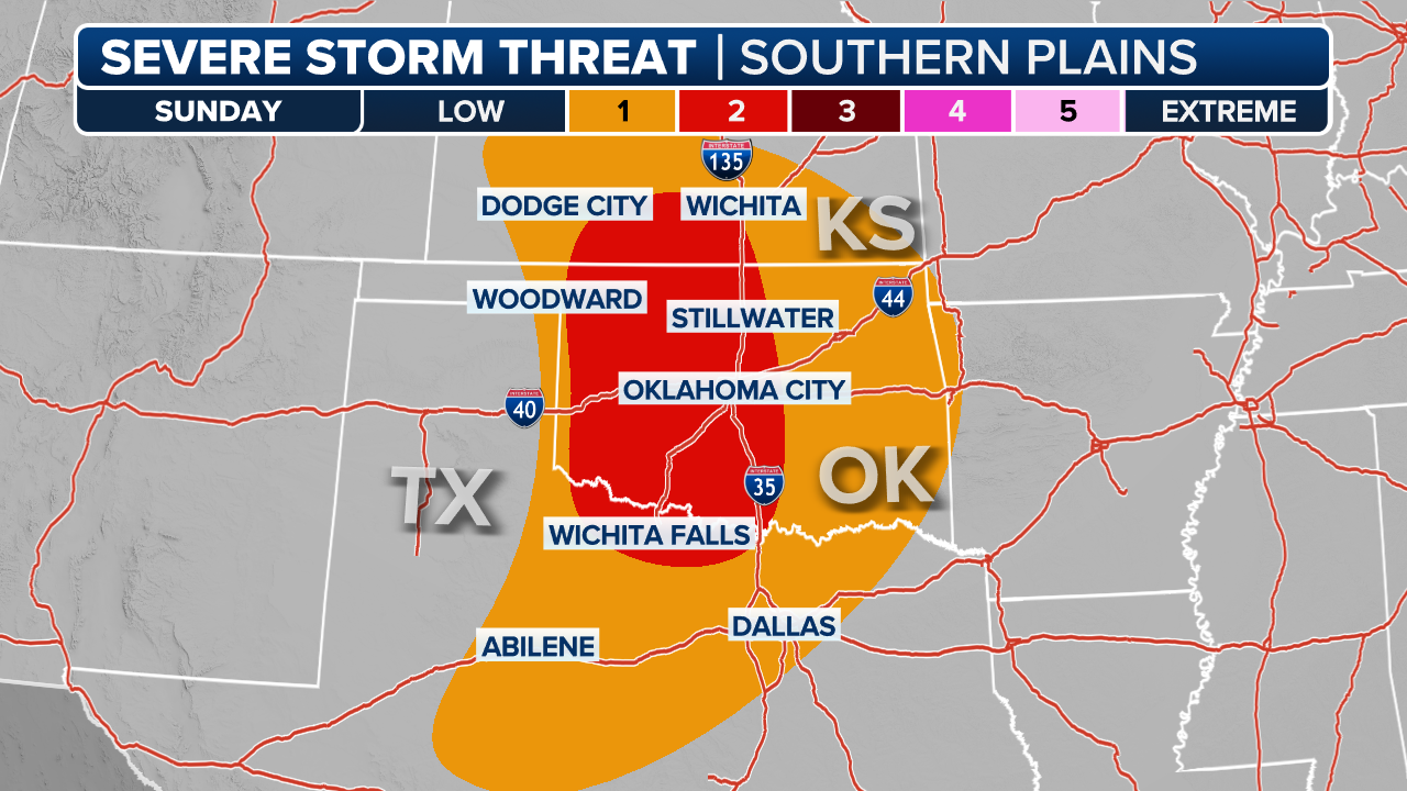
(FOX Weather)
Rainfall rates could easily exceed 2 inches per hour, resulting in widespread totals of 3 to 6 inches, with localized totals potentially surpassing 8 inches, the FOX Forecast Center said.
The most intense rain is expected to target a highly populated, urban corridor. Because of this, there is a Level 3 out of 4 flash flood risk across eastern Pennsylvania and northern and central New Jersey.
KNOW YOUR FLOOD TERMINOLOGY: WHAT FLOOD WATCHES, WARNINGS AND EMERGENCIES REALLY MEAN
A broader Level 2 out of 4 flash flood risk surrounds this area, extending from central Virginia all the way into New York City.
Due to the heightened flood threat, a Flood Watch has been issued for 40 million Americans through Monday evening.

(FOX Weather)
Additionally, there is a Level 2 out of 5 severe weather risk for Sunday afternoon and evening across parts of the Mid-Atlantic, where developing thunderstorm clusters ahead of a shifting front could generate another round of damaging wind gusts.
Frequent lightning and isolated hail remain secondary threats with these afternoon storms, which are expected to fire up along the higher terrain before marching toward the coast, according to the FOX Forecast Center.
Temperatures across the region exceeded 100 degrees in some areas Saturday, combined with high humidity, which fueled thunderstorm development.
Authorities said a 47-year-old woman died when a tree fell on top of her camper trailer during severe storms in Fox Township, Illinois, on Saturday afternoon.
As the severe weather threat and intense heat starts to ease, the heavy rainfall threat will intensify.
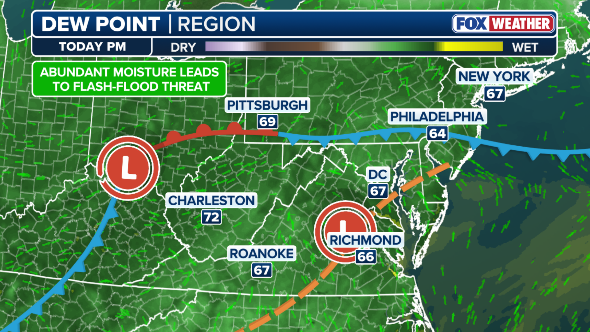
(FOX Weather)
A surface low-pressure system will slowly track through the region, bringing a broader flash flood risk for Sunday and Monday.
At this time, the slower-moving system will likely bring a swath of heavy rain across Pennsylvania, New Jersey and southern New York.
HOW HIGH PRESSURE AND LOW PRESSURE DRIVE THE WEATHER
Because these downpours will hit ground that has already seen extreme heat from the recent heat dome, the soil won't be able to absorb the moisture quickly.
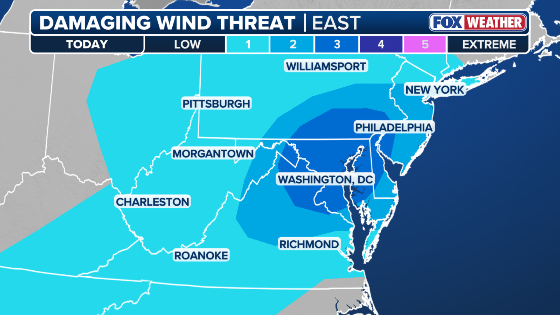
(FOX Weather)
This increases the likelihood of rapid runoff and flash flooding, particularly in low-lying areas and poor-drainage zones, the FOX Forecast Center said.
WHAT IS A HEAT DOME AND HOW CAN IT AFFECT YOU DURING THE SUMMER MONTHS?
Travelers heading home from the holiday weekend should prepare for sudden visibility drops and localized road closures.
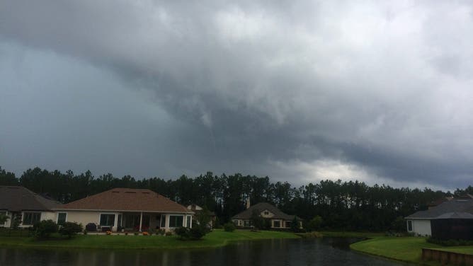
![Ominous thunderclouds over a Jacksonville, Florida subdivision on July 12, 2014.]() Image 1 of 6
Image 1 of 6Ominous thunderclouds over a Jacksonville, Florida subdivision on July 12, 2014. ( )
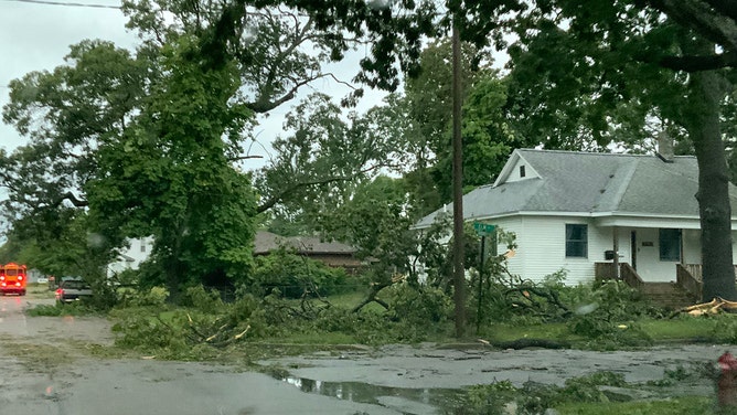
![Michigan State Police said significant damage was seen along the lakeshore of Lake Michigan in western Lower Michigan.]() Image 2 of 6
Image 2 of 6Michigan State Police said significant damage was seen along the lakeshore of Lake Michigan in western Lower Michigan. ( MSP Sixth District)
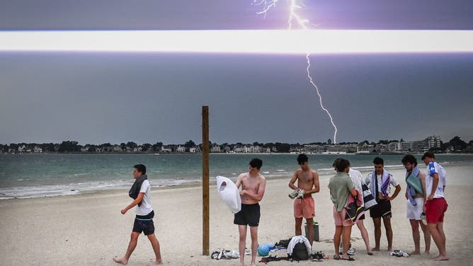
![Paris Storms]() Image 3 of 6
Image 3 of 6TOPSHOT - A lighting bolt lights up the sky as people prepare to leave the beach during a thunder storm over the city of La Baule, in western France, on June 25, 2025. (Photo by Loic VENANCE / AFP) (Photo by LOIC VENANCE/AFP via Getty Images) ( )
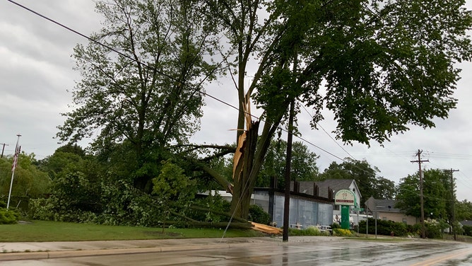
![Michigan State Police said significant damage was seen along the lakeshore of Lake Michigan in western Lower Michigan.]() Image 4 of 6
Image 4 of 6Michigan State Police said significant damage was seen along the lakeshore of Lake Michigan in western Lower Michigan. ( MSP Sixth District)
![Paris Storms]() Image 5 of 6
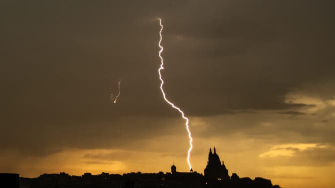
Image 5 of 6TOPSHOT - This photograph shows a lightning bolt falling near Sacre Coeur Basilica in Montmartre during a thunderstorm, in Paris on June 25, 2025. (Photo by Olivier MORIN / AFP) (Photo by OLIVIER MORIN/AFP via Getty Images) ( )
![This image shows severe weather in Kansas on Wednesday, Oct. 30, 2024.]() Image 6 of 6
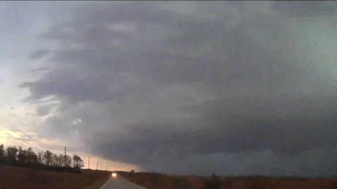
Image 6 of 6This image shows severe weather in Kansas on Wednesday, Oct. 30, 2024. (Corey Gerken)
The ridge of high pressure responsible for the oppressive heat dome shifted south Saturday, bringing the most intense heat to the Mid-Atlantic and the Carolinas.
Stay with FOX Weather for the latest on the significant flood threat in the Mid-Atlantic.