

Tropical development unlikely to come to life due to hostile conditions in the Gulf of America
In the coming days, the overall pattern is expected to become even less favorable for anything trying to spin up in the Gulf.

Eastern Pacific remains highly active as two Tropical Depressions churn off the Mexico coast
The Eastern Pacific remains incredibly active, with Tropical Depression Amanda and newly formed Tropical Depression Two-E both churning off the coast of Mexico. FOX Weather Meteorologist Michael Estime walks us through the rapid upgrade and what it all means for the 2026 hurricane season.
While we have been keeping a close eye on the Gulf and Bay of Campeche over the past week, the overall outlook for this region of the basin shows an even lower likelihood of any tropical development through late this week, according to the FOX Forecast Center.
Much of the Gulf, outside the Bay of Campeche, is currently experiencing a large swath of hostile upper-level winds. This is accompanied by dry air in the mid-levels of the atmosphere across the central and eastern Gulf.
SPRING SEVERE WEATHER SEASON SEES FEWEST NUMBER OF TORNADO DEATHS IN 5 YEARS
Sea surface temperatures remain warm, however, with much of the region running 1 to 2 degrees above average. The warmest waters are located in the Bay of Campeche, where temperatures range from the middle to upper 80s.
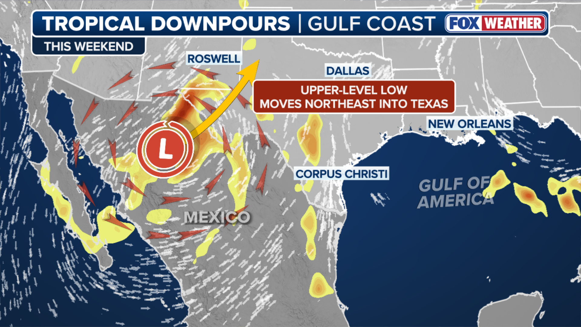
(FOX Weather)
In the coming days, the overall pattern is expected to become even less favorable for anything trying to spin up in the Gulf.
High pressure will remain centered over northern Mexico and the southwestern U.S., while another area of high pressure stretches into the Caribbean.
NEW TROPICAL DEPRESSION FORMS IN THE EASTERN PACIFIC WITH HEAVY RAINFALL AIMED AT MEXICO
This setup will still allow for some Pacific moisture to stream into the southern Gulf and Bay of Campeche, but the potential for any tropical development remains very low.

(FOX Weather)
Elsewhere across the Gulf, hostile upper-level winds and dry air are expected to persist, especially over central and eastern portions of the basin.
Through late this week, elevated amounts of tropical rainfall are likely across parts of Mexico and the Bay of Campeche.
ATLANTIC HURRICANE SEASON IS OFFICIALLY UNDERWAY: WHAT TO KNOW ABOUT THE 2026 FORECAST
As we move through June, we must keep a close eye on more "homegrown" threats across the Gulf and southeastern U.S., as lingering fronts can act as a trigger for tropical development when environmental conditions become favorable.
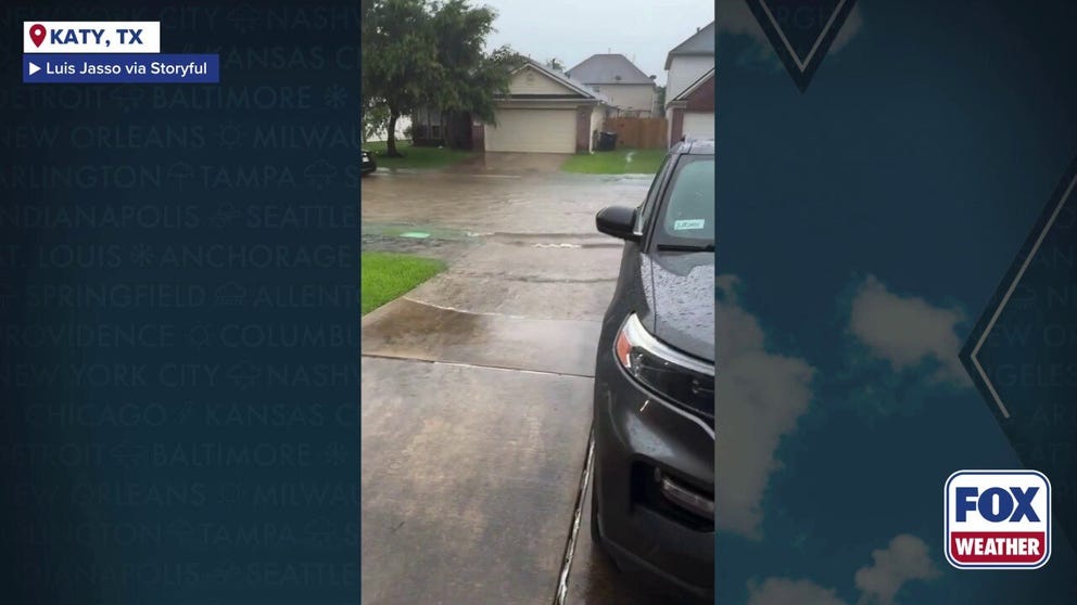
Watch: Cars create wakes in Katy, Texas, neighborhood as thunderstorms trigger flash flooding
Cars create wakes in Katy, Texas, neighborhood as thunderstorms trigger flash flooding.
The season is still very young. On average, the first named storm of the Atlantic hurricane season does not occur until around June 20.
HURRICANE SEASON 2026: THESE ARE THE STORM NAMES YOU'LL SEE THIS SEASON
The first name on this year's list is Arthur.