

Remnants of Cristina to bring heavy rain, flood risks to parts of Central America
Tropical development at this point in the year is right on schedule, as the first named storm in the East Pacific typically forms around June 10.
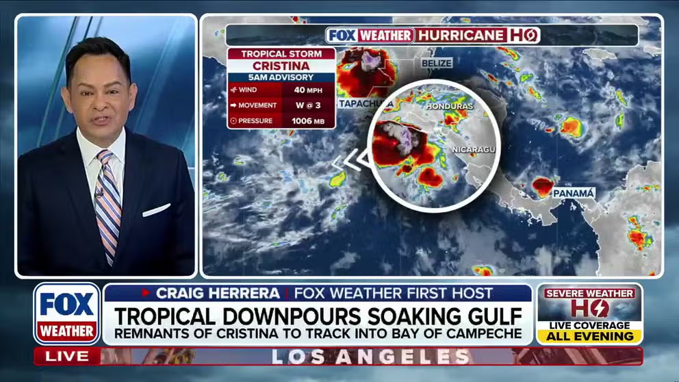
Tropical Storm Cristina churns along the Central America coast, nears El Salvador
Tropical Storm Cristina sits just off the coast of Central America, drifting westward offshore of El Salvador, drenching the region in inches of rain, while heightening the flood risk. A Tropical Storm Warning has been issued for portions of the region. FOX Weather Meteorologist Craig Herrera breaks down what this could mean for El Salvador if Cristina makes landfall:
SAN SALVADOR, EL SALVADOR — Cristina weakened to a non-tropical area of low pressure overnight Thursday just off the coast of El Salvador, but Cristina's remnants are still expected to bring heavy rain and flash flooding.
Cristina was downgraded to a tropical depression on Wednesday after reaching tropical storm strength Monday.
WHAT IS A TROPICAL DEPRESSION?
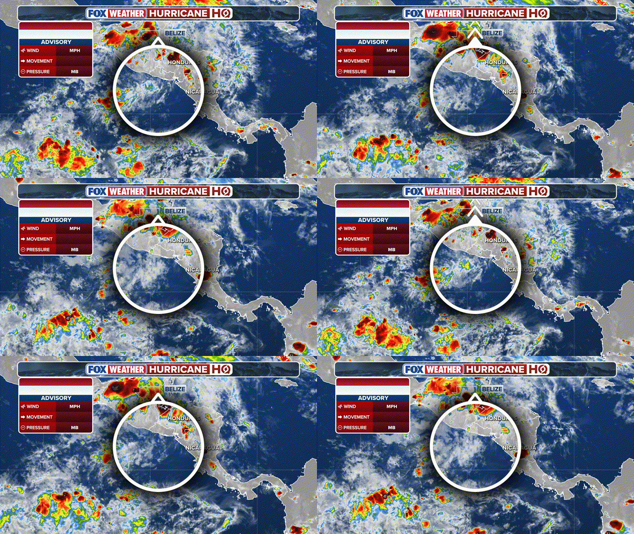
(FOX Weather)
According to the National Hurricane Center (NHC), Cristina's remnants are expected to produce 4 to 8 inches of rain through Thursday night.
WHAT IS AN INVEST DURING HURRICANE SEASON?
The NHC said Cristina could bring heavy rain and life-threatening flash flooding to Nicaragua, Honduras, El Salvador and Guatemala through mid-week.
As this moisture surges northward late week across southern Mexico, it could bring some tropical rain into portions of the Bay of Campeche by the weekend. The NHC is watching this part of the Gulf as an area to watch for potential tropical development next week.
WHAT’S THE DIFFERENCE BETWEEN A TROPICAL DEPRESSION, TROPICAL STORM AND HURRICANE?
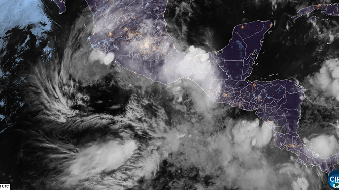
Satellite imagery of Tropical Storms Boris and Cristina on Tuesday, June 9, 2026.
(CIRA / FOX Weather)
Sea surface temperatures near Mexico and farther west into the open Pacific Ocean are currently running well above their seasonal average and are expected to further warm in the coming weeks, becoming even more favorable for development.
Tropical development at this point in the year is right on schedule, as the first named storm in the East Pacific typically forms around June 10.