First Saharan dust plume of season rolling off Africa will reach US this weekend
Saharan dust is notorious for creating vibrant sunrises and sunsets and can also contribute to poor air quality
First Saharan Dust plume of season could lead to stunning sunrises and sunsets
The first Saharan Dust plume of the season is rolling off Africa and will reach the southeast later this week, which could lead to stunning sunrises and sunsets.
The season's first plume of dust rolled off Africa's Sahara Desert earlier this week, embarking on a 5,000-mile journey across the Atlantic Ocean, Caribbean Sea and Gulf of Mexico en route to the southeastern U.S. this weekend.
This mass of very dry, dusty air is called the Saharan Air Layer. According to NOAA's Atlantic Oceanographic and Meteorological Laboratory, it forms over the Sahara Desert during the late spring, summer and early fall and moves into the tropical Atlantic every three to five days.
Saharan Air Layer activity typically ramps in mid-June, peaks between late June and mid-August, then quickly subsides after mid-August. During this peak period, Saharan dust plumes will often travel all the way to Florida and the U.S. Gulf Coast, including as far west as Texas.
NOAA says the dust plume is usually 2 to 2.5 miles thick, with its base situated about 1 mile above the Earth's surface, so that means it generally sits between 5,000 and 20,000 feet above ground level.
HOW TO WATCH FOX WEATHER ON TV
A ribbon of stronger winds in the mid-levels of the atmosphere called the African easterly jet stream transports the dust from Africa westward across the Atlantic Ocean. Then, a high-pressure system in the subtropical Atlantic can send the dust into the Caribbean. From there, the wind patterns can steer the dust toward parts of the U.S.
The first Saharan dust plume of the 2022 season began to emerge off the coast of western Africa on Tuesday and now stretches across much of the western tropical Atlantic and the Caribbean. Satellite imagery detected some dusty air making its way into parts of the Florida Keys and South Florida as of Friday.
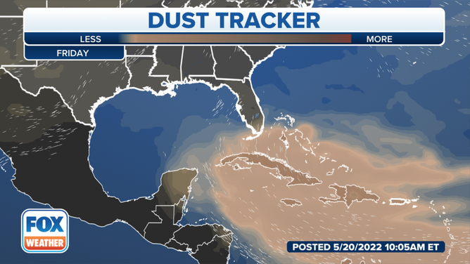
Saharan dust tracker for Friday, May 20, 2022.
(FOX Weather)
NASA's GEOS-5 model indicates the dust will continue to spread northward through the weekend and into early next week.
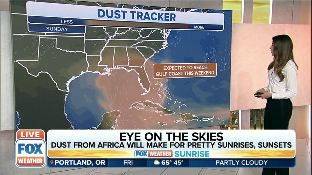
By Sunday, the dust plume will likely be overspreading much of Florida.
5 THINGS TO KNOW ABOUT THE SAHARAN DUST PLUME
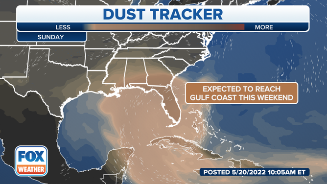
Saharan dust tracker for Sunday, May 22, 2022.
(FOX Weather)
Early next week, the mid- and upper-level winds over the Lower 48 might pull the dusty air even farther north into other parts of the Southeast.
Saharan dust is notorious for creating vibrant sunrises and sunsets because, as the light bounces off dust particles, it taps into all of the color spectrum.
The dust can also contribute to poor air quality in some areas.
7 FACTS THAT EXPLAIN HOW AIR QUALITY IS MEASURED
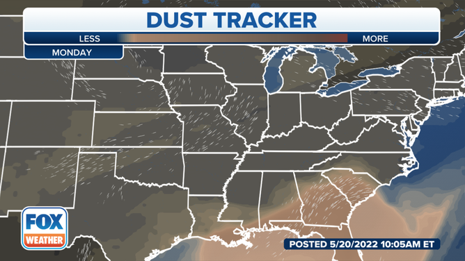
Saharan dust tracker for Monday, May 23, 2022.
(FOX Weather)
According to NOAA, the Saharan dust plume has been shown to suppress tropical storm and hurricane formation and intensification in the Atlantic.
The dusty air is very dry, with about 50% less moisture than the typical tropical atmosphere. This extremely dry air creates downdrafts of sinking air around a tropical cyclone or one trying to develop, which can weaken the system.
Additionally, strong winds are associated with the Saharan dust plume at a typical height of 6,500 to 14,500 feet above the Earth's surface. These winds can significantly increase the vertical wind shear – the change in wind speed and/or direction with height – which creates a hostile environment for the formation of tropical storms and hurricanes.
The Saharan Air Layer's warmth also acts to stabilize the atmosphere, which can suppress the development of clouds that are needed for tropical cyclones to develop and grow.
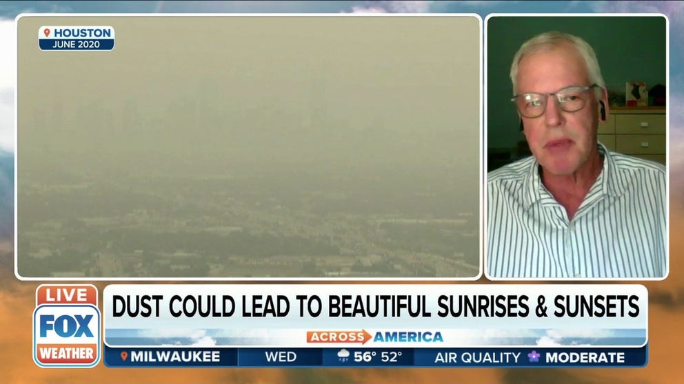
First Saharan dust plume expected to reach US by this weekend
Bill Landing, Professor Emeritus in the Department of Earth, Ocean and Atmospheric Sciences at Florida State University, discusses the first Saharan dust plume expected to reach the US by this weekend.
CLICK HERE TO GET THE FOX WEATHER UPDATE PODCAST
While the official Atlantic hurricane season doesn't begin until June 1, the season started early in each of the last seven years. However, this plume of Saharan dust traveling across the Atlantic might finally put an end to that streak since atmospheric conditions will be unfavorable for tropical development over the next several days.