Powerful winter storm dumps several inches of snow across the Northeast with freezing cold from Polar Vortex
A large swath of 3-5" of snow is likely for major cities like Philadelphia and New York City as millions in these cities see their first measurable snow of the La Niña winter season.

Winter storm racing across America could bring first snow of the season to millions
FOX Weather Meteorologist Jane Minar breaks down a winter storm racing across America.
NEW YORK, NY - After a week of tracking clippers, snow along the Northern Tier and a resilient Polar Vortex, a powerful cross-country winter storm slammed millions across the U.S. this weekend to add to an already busy La Niña winter.
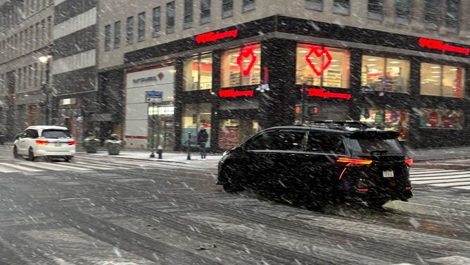
The storm has been charging across the nation this week from Big Sky Country to the Plains, Midwest and now the Northeast's Interstate 95 corridor.
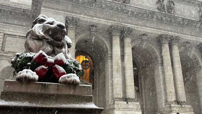
A Winter Storm Warning is in place in Philadelphia, and Winter Weather Advisories are scattered throughout the region, including in New York City, Baltimore and Washington, D.C.

(FOX Weather / FOX Weather)
Some major cities, like Philadelphia and New York City, saw between 3 and 5 inches.
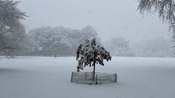
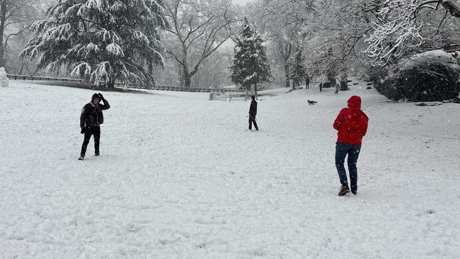
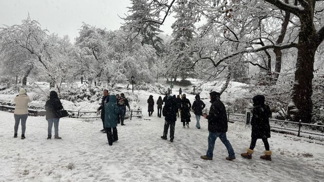
WINTER WONDERLAND ☃️: Beautiful snow coats Central Park in New York City as a winter storm dumps snow across the Northeast on Sunday morning #nyc #weather #snow #winter #foxweather pic.twitter.com/fN1ZSVltCL
— FOX Weather (@foxweather) December 14, 2025
Half a foot of snow was forecast in New Jersey and throughout Long Island, New York.
Here's how much snow fell at major cities and airports across the country:
- NYC: 2.7 inches
- JFK: 4.6 inches
- LGA: 2.6 inches
- EWR: 4.1 inches
- ISP: 5.8 inches
- PHL: 4.2 inches
- BWI: 2.5 inches
LA NIÑA WINTER IS HERE: HOW MUCH SNOW WILL WE GET?
A Snow Emergency was declared in Teaneck, New Jersey due to the conditions.
IMPORTANT *** SNOW EMERGENCY DECLARED DECEMBER 14, 2025- 7am https://t.co/d8b88quFbD
— Teaneck Police (@TeaneckPD) December 14, 2025
The winter storm's peak was Sunday morning, but the storm quickly moved out.
The storm slammed the Midwest with snow Saturday, grinding travel to a halt due to snow in cities like Indianapolis and Cincinnati.

Drone video shows multi-vehicle pileup on Interstate 55 during snowstorm in Illinois
Video from Springfield, Illinois from Saturday shows a multi-truck pileup along Interstate 55 as a powerful cross-country snowstorm drops heavy snow across the Midwest before charging into the Northeast tonight.
In Illinois, the snow led to extremely dangerous driving conditions along major interstates. Illinois State Police said Interstate 55 was closed near Springfield, after a multi-vehicle fatal crash on Saturday afternoon.
Drone video showed the pileup on the highway, with multiple semi-trucks zigzagged across the snow-covered highway.
![]() Image 1 of 9
Image 1 of 9(FOX Weather)
![]() Image 2 of 9
Image 2 of 9(FOX Weather)
![]() Image 3 of 9
Image 3 of 9(FOX Weather)
![]() Image 4 of 9
Image 4 of 9(FOX Weather)
![]() Image 5 of 9
Image 5 of 9(FOX Weather)
![]() Image 6 of 9
Image 6 of 9(FOX Weather)
![]() Image 7 of 9
Image 7 of 9(FOX Weather)
![]() Image 8 of 9
Image 8 of 9(FOX Weather)
![]() Image 9 of 9
Image 9 of 9(FOX Weather)


Winter Weather Advisories are in place from Maryland along the East Coast to Cape Cod.
According to the FOX Forecast Center, these areas along the I-95 corridor were expected to see 1 to 3 inches of snow, with some localized spots in South Jersey and Eastern Long Island seeing up to 4 to 5 inches.

(FOX Weather / FOX Weather)
The storm's wide coverage area brought snow to the entire I-95 Corridor, with many cities seeing their first measurable snow of the season.
WEAKENING POLAR VORTEX TO DELIVER MORE RECORD-BREAKING COLD TO MILLIONS
Washington, D.C. Mayor Muriel Bowser took to social media to urge residents to exercise caution as cold temperatures and snow move into the capitol city.
New York City Emergency Management announced the activation of the City's Winter Weather Emergency Plan, encouraging drivers to stay off the roads unless necessary.
New Jersey Governor Phil Murphy also offered caution to drivers and New Jersey residents, warning of extreme cold temperatures and snow across The Garden State.
The last of the snow is expected to exit the Jersey Shore, Long Island and the Cape Cod area by midday Sunday.
A deep freeze sets in behind the snow, which could make for slick conditions on the roads.