Over 5 feet of lake-effect snow buries New York towns as multiday event winds down
The town of Camden, New York, east of Lake Ontario, reported 65 inches – more than 5 feet – of snow as of Sunday morning.

Up to 65 inches of lake-effect snow buries Camden, New York
As heavy lake-effect snow piled up across the northern portion of New York state, footage recorded by Richard Hulburd of the X account @Weather_buffalo shows what Hulburd described as almost five feet of snow burying the town of Camden, New York. According to the National Weather Service, 65 inches of snow was measured in Camden since the lake-effect event began on Thursday.
SYRACUSE, N.Y. – No rest for the snow-weary downwind of the Great Lakes as another multiday lake-effect snowstorm continues to bury towns in several feet of snow through Sunday before finally winding down overnight.
The town of Camden, New York, east of Lake Ontario, reported 65 inches – more than 5 feet – of snow as of Sunday morning.

(FOX Weather)
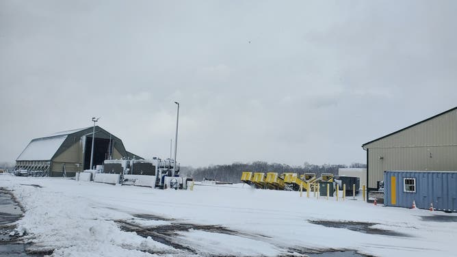
Strong northwesterly winds on the southwestern side of a low-pressure system lingering over southeastern Canada have allowed the snow bands to dump 3 to 5-plus feet of snow on parts of central and northern New York and 6 to 12 inches on northwestern Pennsylvania since the lake-effect event began on Thursday.

Heavy lake-effect snow hits Utica, New York
Lake-effect snow hit Utica, New York, on Thursday as weather officials warned travel could be difficult to impossible Footage from X user @James7576884387 shows snow blanketing a backyard and streets in Utica.
The FOX Forecast Center said the heaviest snow showers and squalls will remain downwind of lakes Ontario and Erie. Snow will likely be measured in feet from northeastern Ohio to northwestern Pennsylvania to western New York (south of Buffalo) to New York's Tug Hill Plateau and even as far south as the Syracuse metro area in central New York.

(FOX Weather)
On Thursday, the snow moved into Syracuse and areas to the north and east. Communities such as Montague, New York, on the Tug Hill Plateau east of Lake Ontario, were expected to pick up another 1 to 2 feet of snow over the weekend with wind gusts to 45 mph on top of the feet of snow that has piled up.

Flakes fly again in western New York as the lake-effect snow machine cranks up
Video from Exclusive FOX Weather Storm Tracker Brandon Copic shows snow beginning to fall in Westfield, New York, on Lake Erie.
Snowfall rates in these areas are expected to range from 1 to 2 inches per hour, with more than 3 inches per hour possible in the bands hitting the Tug Hill Plateau and portions of central New York.

(FOX Weather)
The FOX Forecast Center said drivers should expect extremely dangerous to impossible travel and widespread road closures.
![]() Image 1 of 5
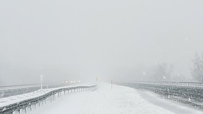
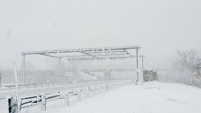
Image 1 of 5Snowfall in New York as of Thursday afternoon. Jan. 2, 2025. (New York State Thruway Authority)
![Snowfall in New York as of Thursday afternoon. Jan. 2, 2025.]() Image 2 of 5
Image 2 of 5Snowfall in New York as of Thursday afternoon. Jan. 2, 2025. (New York State Thruway Authority)
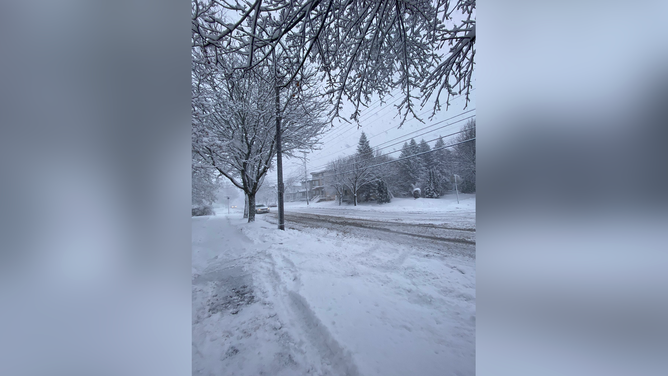
![Snowfall in Utica, NY by Thursday afternoon. Jan. 2, 2025.]() Image 3 of 5
Image 3 of 5Snowfall in Utica, NY by Thursday afternoon. Jan. 2, 2025. (@James7576884387 / X)
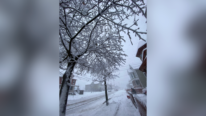
![Snowfall in Utica, NY by Thursday afternoon. Jan. 2, 2025.]() Image 4 of 5
Image 4 of 5Snowfall in Utica, NY by Thursday afternoon. Jan. 2, 2025. (@James7576884387 / X)
![]() Image 5 of 5
Image 5 of 5Snowfall in New York as of Thursday afternoon. Jan. 2, 2025. (New York State Thruway Authority)
Lake-Effect Snow Warnings still cover parts of central and northern New York and will remain in effect through Sunday evening.

(FOX Weather)
Erie, Pennsylvania, has received 16.7 inches of snow so far and has recorded over 78 inches of snow since late November.
Forecasters are also watching the band off of Lake Ontario this weekend. Computer forecast models indicate a "mega band," one with connections to Lake Huron and Lake Superior, may develop and potentially impact the Syracuse area, which has already had over a foot of snow and may see another several inches through Sunday.
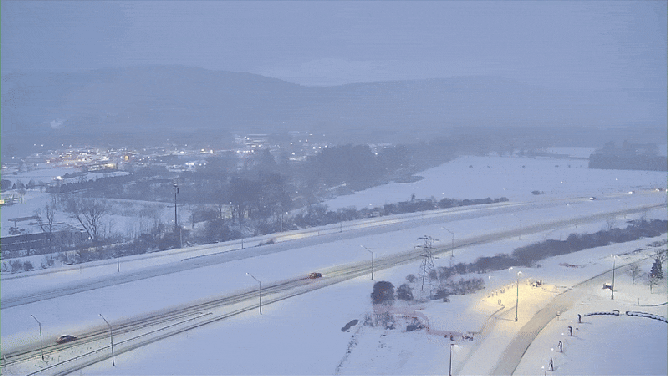
Holiday travelers in western New York are facing a challenging return trip due to severe winter weather. I-86 in Salamanca is snow-covered, and a Lake-Effect Snow Warning remains in effect until 6 p.m. Sunday.
(FOX Weather)
Since October, some parts of central and western New York, including the Tug Hill Plateau (north of Syracuse) and an area outside of Dunkirk (south of Buffalo), have received over 10 feet of snow.