Flash flooding threat continues from Plains to Texas, Gulf Coast into this weekend
The next disturbance will exit the Rockies on Thursday, meeting up with a steady feed of moisture coming from the Gulf of Mexico. This will result in significant heavy rain across northern and central portions of the Rockies and Plains, as well as over the lower Mississippi Valley.
Flood threat continues from Plains to Texas, Gulf Coast into the weekend
Rounds of relentless rain have spawned a dangerous flood threat in the Plains, and plenty more rainfall is coming.
HOUSTON – Rounds of relentless rain have spawned a dangerous flood threat in the Plains, and plenty more rainfall is coming.
Streets in Houston were turned into rivers as thunderstorms over the past two days have largely impacted southeastern Texas. On Thursday, Houston will finally get a break as the deluge shifts east to the lower Mississippi Valley and north to the central and northern Plains.

(FOX Weather)
The FOX Forecast Center said the heavy rain will target cities like Rapid City, South Dakota, down to Little Rock, Arkansas, where a Flash Flood Warning lasted until 12 p.m. CDT after up to 4 inches of rain had fallen.
Additional Flash Flood Warnings have been issued until Thursday afternoon in extreme eastern Texas, northern Louisiana and central Arkansas as heavy rain continues to soak these areas after several inches of rain has already fallen.
Flood Watches remain in effect for northeastern Texas, northern Louisiana, southern Arkansas and western Mississippi through Thursday evening.

(FOX Weather)
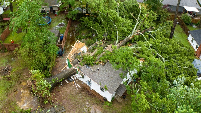
In Conway, Arkansas, city officials said an enormous 600-year-old oak tree fell on a house Thursday morning. The occupant was rescued by the Conway Fire Department with no injuries.
Conway was under a Flash Flood Warning when the large tree came down.

In Conway, Arkansas, city officials said an enormous 600-year-old oak tree fell on a house.
(City of Conway, Arkansas / Twitter)
In Hot Springs, Arkansas, Hank Hughes shared video with FOX Weather showing flooding issues on Highway 7 heading into town on Thursday.
Roads turn to rivers after flooding in Hot Springs, Arkansas
Hank Hughes shared video with FOX Weather showing flooding issues on Highway 7 heading into Hot Springs, Arkansas, on Thursday. This comes after rounds of relentless rain have spawned a dangerous flood threat in the Plains with plenty more rainfall expected to fall.
Many areas will welcome the inches of rain falling from the northern Rockies and Plains southward through the Rio Grande Valley of Texas. The worst drought in the country is currently in the Plains, and some areas are in desperate need of precipitation.
The downpours are not welcome in other areas like Houston, New Orleans and parts of Mississippi and Alabama, which shouldered the worst of the flood burden over the past few days.

(FOX Weather)
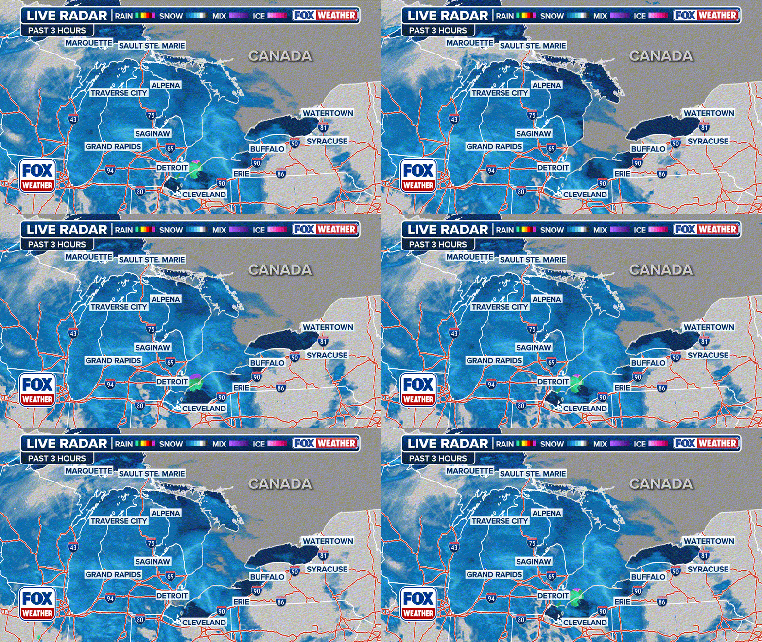
FOX Weather's three-hour radar loop below shows where showers and thunderstorms have been ongoing over the past three hours.
Any active Flood Warnings are indicated by the green boxes.
EXPLAINING FLOOD ALERTS ISSUED BY THE NATIONAL WEATHER SERVICE

(FOX Weather)
Thursday
The next disturbance will exit the Rockies on Thursday, meeting up with a steady feed of moisture coming from the Gulf of Mexico.
This will result in significant heavy rain across northern and central portions of the Rockies and Plains, as well as over the lower Mississippi Valley.
Flash flooding in Benkelman, Nebraska
Flash flooding occurs in Benkelman, Nebraska on Thursday afternoon as storms roll through the Plains. (Credit: @Pjreichert1966/Twitter)
Flash flooding is likely in these regions, as some places could pick up a month's worth of rain over the next two or three days.
HOW HEAVY IS IT REALLY GOING TO RAIN?

(FOX Weather)
Friday
The final disturbance arrives Friday, and the slow-moving system will keep Texas and the South soggy.
Deep Gulf of Mexico moisture will be pulled north into the southern Plains, and there is a strong signal for potentially significant rainfall of several additional inches.
Multiple rounds of moderate to locally heavy rain are expected, raising concerns for more flash flooding given increasingly saturated ground conditions.
Heavy rain will also continue to batter the central Plains, with additional flash flooding possible there as well.
WHY RARE 'HIGH RISK' FLOOD DAYS NEED TO BE TAKEN SERIOUSLY

(FOX Weather)
Rain continues through weekend
By Saturday, high pressure will squeeze the low pressure, forcing it back toward the Desert Southwest.
The FOX Forecast Center said the Four Corners region is expected to take the brunt of the rain. However, some residual showers will remain along the Gulf Coast.
"The reason why is because, yes, the high pressure oftentimes is more of a quiet weather pattern, but it's still going to bring in that moisture from the Gulf," FOX Weather meteorologist Steve Bender said. "It's going to continue to pop along the Plains and allow for that substantial rain to land in around Laredo and San Antonio (Texas) for the next, really, 72 hours."
Residents in the lower Mississippi Valley and southern Plains should keep umbrellas handy through at least Monday.

(FOX Weather)


