Final punch from pair of clippers brings more snow, wind from upper Midwest to Northeast
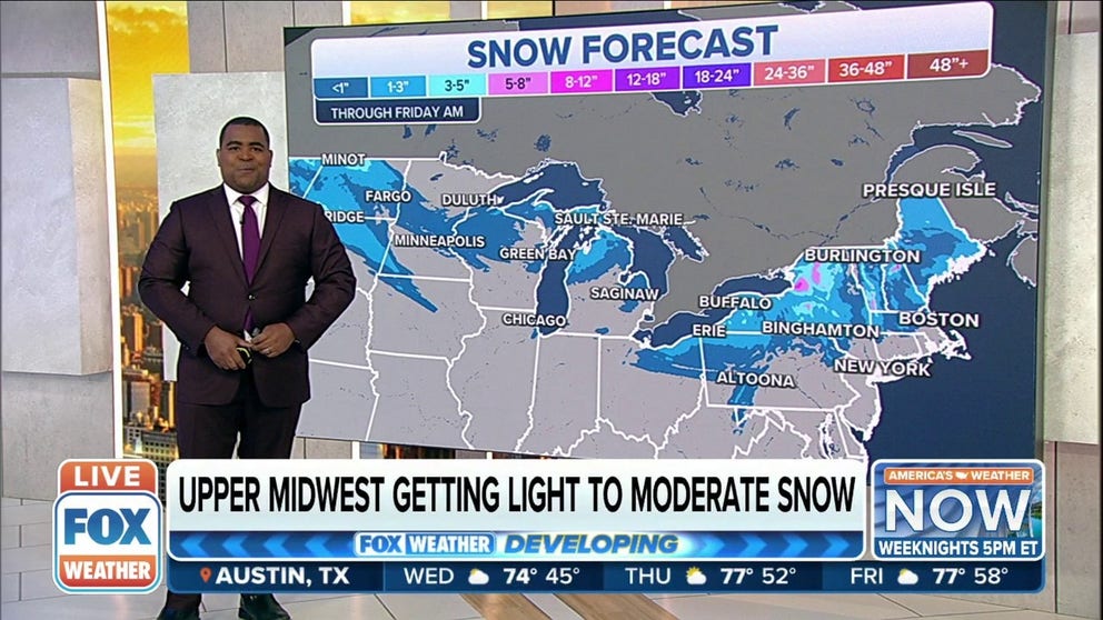
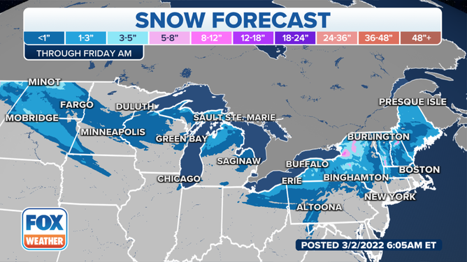
Most areas from the upper Midwest to central and northern New England are expected to pick up a few inches of snow
Fast-moving clipper system will spread snow, wind across northern tier
A fast-moving clipper system will spread light snow across parts of the upper Midwest, Great Lakes and interior Northeast.
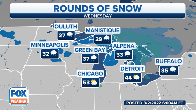
A fast-moving clipper system has moved into the Northern Plains, upper Midwest and Great Lakes, producing light to moderate snow and gusty winds on Wednesday before tracking into the Northeast overnight into Thursday.
(FOX Weather)
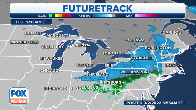
The snow and wind will spread into portions of upstate New York and central and northern New England on Wednesday night and Thursday. The precipitation should fall in the form of rain across southern New England and the northern mid-Atlantic region before it exits the coast by Thursday night.
(FOX Weather)
This comes after a previous clipper system dusted parts of the upper Midwest and interior Northeast with snow earlier in the week.
Most areas from the upper Midwest to central and northern New England are expected to pick up only a few inches of snow from this second round of snow.
(FOX Weather)
However, up to a half-foot or so could fall in localized spots near Lake Superior in the Upper Peninsula of Michigan, east of Lake Ontario in upstate New York and in the higher terrain of northern New England. Locally higher amounts up to a foot will be possible for the higher elevations of the Adirondacks and the Green and White mountains.
South of the pair of clipper systems, temperatures are forecast to warm up considerably, with above-average temperatures expanding across the Plains and Midwest.