

Bryan Norcross: Hurricane Lowell forecast to swipe the Western Hawaiian Islands late tomorrow
Tropical moisture will overspread the Hawaiian Islands beginning late Sunday. Rain will be heavy at times through Monday.
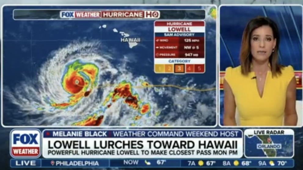
Category 3 Hurricane Lowell lurches toward Hawaii threatening dangerous rip currents and surf
Powerful Hurricane Lowell is expected to make its closest pass of Hawaii on Monday evening as it continues to churn in the Pacific. FOX Weather Meterologists Melanie Black and Michael Estime have the latest on what to expect including life-threatening rip currents and dangerous surf. Stay with FOX Weather for LIVE coverage and join the conversation.
Updated at 10 a.m. on Sunday, Sept. 6, 2026.
Powerful Hurricane Lowell is finally turning north. A dip in the jet stream is nudging the storm toward the northward path and will eventually grab Lowell and speed it past Hawaii.
On the current schedule, tropical moisture will overspread the islands beginning late today. Rain will be heavy at times through tomorrow.
TROPICAL STORM WATCHES ISSUED AS CATEGORY 3 HURRICANE LOWELL TURNS TOWARD HAWAII
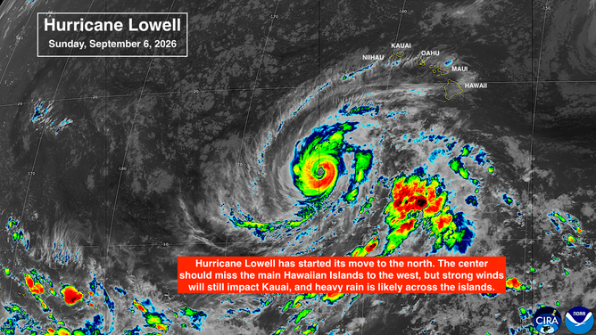
Tropical activity in the Pacific basin.
(FOX Weather)
Up to 12 inches of rain is forecast on Kauai and near that on the Big Island of Hawaii. Flash floods and mudslides are possible on the steep slopes. Lesser amounts are forecast for the other islands, but some rain will be locally heavy. Stay aware of local flood alerts from the National Weather Service in Honolulu.
A Tropical Storm Watch is in effect for Kauai and the small island just to its west, Niihau. Winds above 40 mph with gusts to hurricane force at the higher elevations and through passes are increasingly likely on those islands late tomorrow.
TRACK HURRICANE LOWELL: PATH, FORECAST CONE, SPAGHETTI MODELS, WIND AND MORE
A Hurricane Watch is in effect for the Papahanaumokuakea Marine National Monument, which is a long stretch of islands west of Kauai. There are no permanent residents there, but researchers and staffers take care of the islands.
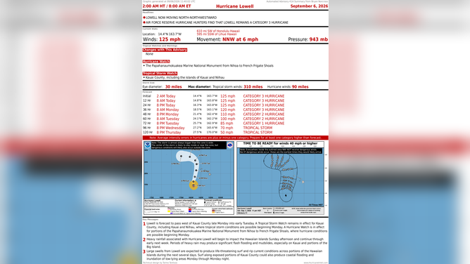
Hurricane Lowell churns in the Pacific as it heads toward Hawaii.
(Bryan Norcross / FOX Weather)
Huge waves will be crashing on the south side of the western Hawaiian Islands. But Hawaii is not subject to huge storm surge like the Gulf of Mexico. Especially in the harbors and inlets, high tide on Monday night could be up to 3 feet above normal.
Now is the time for everybody in Kauai County to be sure everything is tied down and be ready in case the power goes out. Pay attention to instructions from the local officials. They've been working hard to be sure that all of Hawaii is better prepared than ever for natural disasters.
WHAT IS BAROMETRIC PRESSURE AND WHAT DOES IT MEAN FOR HURRICANES?
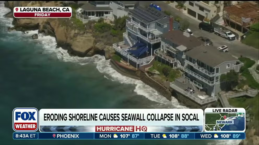
Hurricane Marie brings rough surf to Southern California
Category 1 Hurricane Marie is swirling southwest of the Baja California peninsula. FOX Weather Meteorologist Melanie Black breaks down how Southern California will see dangerous surf as an enhanced southwest monsoon increases the risk of flash flooding through Labor Day weekend.
ELSEWHERE IN THE PACIFIC
Hurricane Marie and Tropical Storm Karina are weakening. But they're still sending strong swells toward the California and Mexico coast. The fact that the swells are coming from two storms means that sometimes the energy will suddenly peak, and a wave will be much bigger and stronger than the previous ones. Those are called sneaker waves, and they're very dangerous because they can suddenly flood a beach or overtake a jetty.
Another storm has a medium chance of developing later in the week in the orange area.
IN THE ATLANTIC
There's nothing new to report. Saharan dust is unusually strong for September, and the atmospheric environment is hostile.
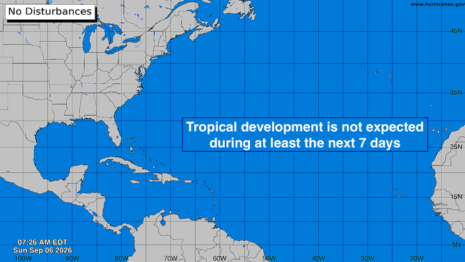
No tropical activity expected in the Atlantic for the next week.
(FOX Weather)
No tropical development is expected this week, at least.