Georgia braces dangerous flash flood threat into early Saturday
As these individual storms progress towards the east, the constant formation of new storms will cause a narrow strip of intense rainfall, where precipitation may surpass 4 inches and approach 8 inches in specific locations.
Threats for flooding, severe storms continue for South through Saturday
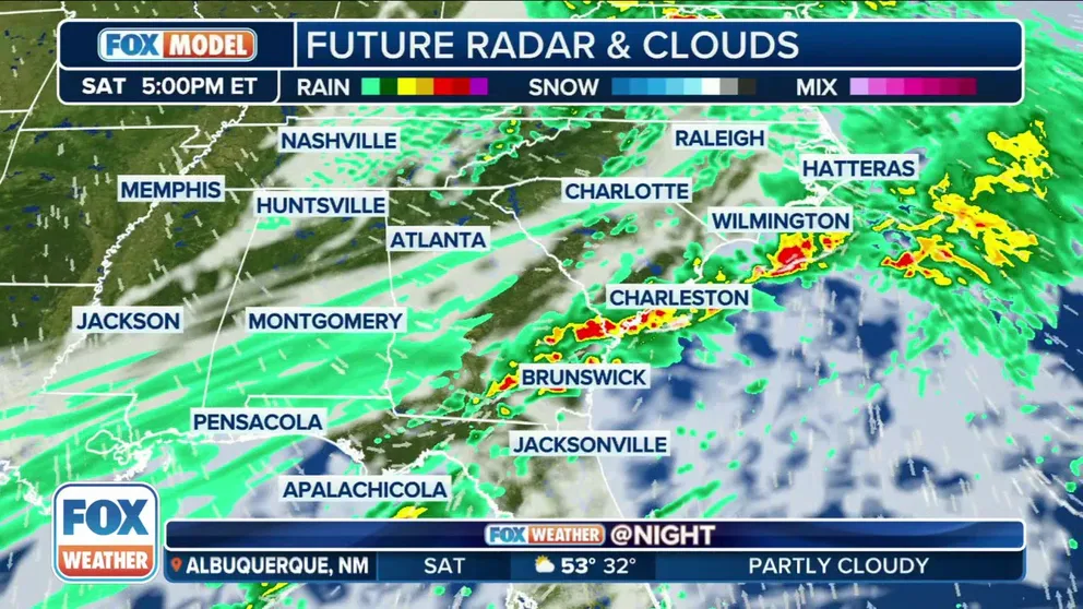
A cold front that is making its way through the South will be the focal point of showers and thunderstorms on Saturday
ATLANTA – Besides the severe weather threat across the South, the FOX Forecast Center is monitoring a flash flood event that may pose an additional danger across Georgia and Alabama into early Saturday.
The highest flood risk area includes parts of Central Georgia, which already experienced heavy rainfall earlier this week when 2-3 inches fell on Tuesday night.
"I just think this week has been tiring for the Southeast," FOX Weather Meteorologist Jane Minar said. "You get a nice break into the start of the day on Friday, and then suddenly you’re just slammed with heavy rain once again."
HOW FLOODWATER CAN MAKE YOU VERY SICK

(FOX Weather)
The FOX Forecast Center said strong low-level winds will pump in prolific amounts of moisture from the Gulf of Mexico, allowing the storms to produce torrential rain with rates in excess of 1 inch per hour. The slow-moving to stationary front will provide a focus for storms to develop and move over the same areas repeatedly.
HERE'S WHAT TO DO AFTER YOUR CAR IS FLOODED

(FOX Weather)
As these individual storms progress towards the east, the constant formation of new storms will cause a narrow strip of intense rainfall, where precipitation may surpass 4 inches.
HOW HEAVY IS IT REALLY GOING TO RAIN?

(FOX Weather)
Adding to the threat will be the fact that the heaviest rain will occur overnight, which could make it hard to see flooded roads.
NOAA’s Weather Prediction Center (WPC) said there’s a risk of flash flooding across the Southeast starting Friday.
However, a Level 3 out of 4 risk of flash flooding has been highlighted along the Interstate 20 corridor from Birmingham to Atlanta, as well as the Interstate 85 corridor from Montgomery to Atlanta.
The Interstate 65 corridor from Birmingham through Clanton and Montgomery is also in the Level 3 risk of flash flooding.
NATIONAL WEATHER SERVICE REVAMPS FLOOD ALERTS

(FOX Weather)
The rain will end Saturday morning with river flooding likely to continue into the start of the work week.