Nearly 75% of US could experience damaging earthquake, scientists say
The National Seismic Hazard Model was used to create a color-coded map of all 50 states. Within this visual, several key findings were determined, including that a large percentage of the country could feel a damaging earthquake
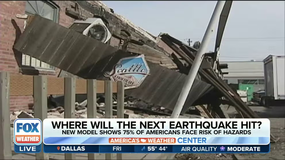
USGS report shows 75% of US could experience damaging earthquake
A new model from the U.S. Geological Survey shows that much of the country could experience a damaging earthquake. Officials say the report is meant to help plan future construction.
A team led by the U.S. Geological Survey revealed their latest National Seismic Hazard Model, which included several key findings about earthquakes in the U.S., including that a large percentage of the country could feel a damaging quake.
The model was produced using the latest information on seismic studies, historical geological data and the latest data-collection technologies, the USGS said.
They noted that the model was updated to create a standard practice for public policy and other engineering uses.
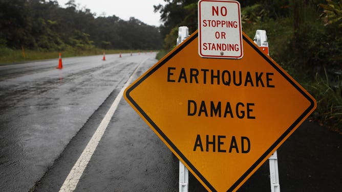
A sign is posted warning of earthquake damage to the road from seismic activity at the Kilauea volcano on Hawaii's Big Island on May 17, 2018 in Hawaii Volcanoes National Park, Hawaii.
(Mario Tama / Getty Images)
"No one can predict earthquakes. However, by investigating faults and past quakes, scientists can better assess the likelihood of future earthquakes and how intense their shaking might be," the USGS said.
WHEN AN EARTHQUAKE CAUSED THE MISSISSIPPI RIVER TO FLOW BACKWARD
The National Seismic Hazard Model was used to create a color-coded map of the 50 states. The USGS said this is the first time the model simultaneously includes all states.
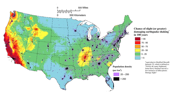
The contiguous U.S.
(USGS / FOX Weather)
With this visual, several key findings were determined. For example, nearly 75% of the nation may experience intense ground shaking and damage from earthquakes, according to the USGS.
Some of the areas of note are shaded in bright red and burgundy, as seen in California, parts of the Pacific Northwest, the mid-South, Alaska and Hawaii. Scientists involved in the project said this puts hundreds of millions of lives at risk.
HOW SAN FRANCISCO WAS DEVASTATED BY THE 1906 EARTHQUAKE
Additionally, scientists found that 37 states have experienced earthquakes greater than a magnitude 5 over the past two centuries.

Alaska and Hawaii.
(USGS / FOX Weather)
The USGS noted that this updated version of the National Seismic Hazard Model will offer critical insights for architects, engineers and policymakers on how buildings and other structures in the U.S. are planned and constructed.
"This was a massive, multi-year collaborative effort between federal, state and local governments and the private sector," said Mark Petersen, USGS geophysicist and lead author of the study. "The new seismic hazard model represents a touchstone achievement for enhancing public safety."