Where is Ian headed next? Dangerous storm’s impacts will be widespread
Hurricane Ian is expected to move north toward the South Carolina coastline, making its final landfall on Friday afternoon in South Carolina.
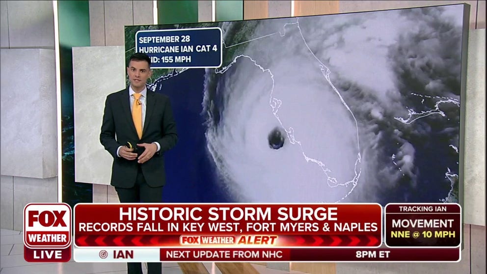
Watch: Hurricane Ian's journey from birth to monster Category 4 storm
Ian Oliver shows Hurricane Ian's journey from tropical depression to monster Category 4 hurricane
Visit the FOX Weather Wire for live updates on Ian. Click here for the latest forecast, power outages and more.
Hurricane Ian pummeled Southwest Florida after making two catastrophic landfalls Wednesday, but Ian made a final U.S. landfall in South Carolina on Friday.
And while Ian was downgraded from a hurricane to a post-tropical cyclone Friday afternoon, the storm will continue bring tropical-storm-force winds and torrential rain to the I-95 corridor through the weekend.

(FOX Weather)
Ian was a monstrous Category 4 hurricane storm with 150-mph winds when it first came ashore on Cayo Costa, Florida, about 3 p.m. Wednesday. About 90 minutes later, the hurricane made a second Florida landfall – this time just south of Punta Gorda with 145-mph winds.
Here’s where Ian is headed next and a detailed look at the forecast.
Friday

(FOX Weather)
Hurricane Ian made its final landfall on Friday afternoon in South Carolina.
High winds and flooding rains were expected as Ian approached the coast and moved inland. Between 4 and 8 inches of rain is predicted in northeastern South Carolina, with localized totals up to 12 inches possible.
Areas from central South Carolina into North Carolina and southern Virginia could pick up 3 to 6 inches of rain, with isolated amounts as high as 8 inches across northwestern North Carolina and southwestern Virginia.

(FOX Weather)
Storm surge is also a concern for Georgia and both of the Carolinas. An inundation of 4 to 7 feet is possible from Edisto Beach in South Carolina to the South Carolina-North Carolina border. This includes the city of Charleston, South Carolina.
A 3- to 5-foot surge is forecast from the South Carolina-North Carolina border to Cape Fear, North Carolina. A storm surge of 3 to 5 feet is also expected from the Georgia-South Carolina border to Edisto Beach in South Carolina.
Storm surge is also likely along other portions of the Southeast coast from Northeast Florida up through the Outer Banks of North Carolina, as you can see in the peak storm-surge forecast on the map below.

(FOX Weather)
Saturday
Ian will continue its slow chug across the southeastern U.S., weakening to an extratropical low-pressure system over North Carolina by Saturday before dissipating Saturday night.
Gusty winds and heavy rain will still be a concern with Ian's remnants, however. Between 3 and 6 inches of rain is possible along the Appalachian Mountains from North Carolina into the Virginias and Kentucky. Persistent rain will also lead to rainfall totals between 2 and 4 inches from the Delmarva Peninsula to parts of New Jersey.

(FOX Weather)
Beyond Saturday
Soaking rains will continue to be the issue for a wide swath of the mid-Atlantic as the remnants of Ian slowly move away from the U.S.
Between 2 and 4 inches of rain is possible in this region, with some places potentially receiving up to 5 inches.

(FOX Weather)