Tropical storm approaches US territory in Pacific with about 40 days until Atlantic hurricane season
Guam is the southernmost island of the Mariana Islands and is home to important facilities for the U.S. military. The U.S. estimates 21,700 military members and their families are based on the small island.
How are hurricanes rated?
How are hurricanes rated? The Saffir–Simpson Hurricane Wind Scale explained.
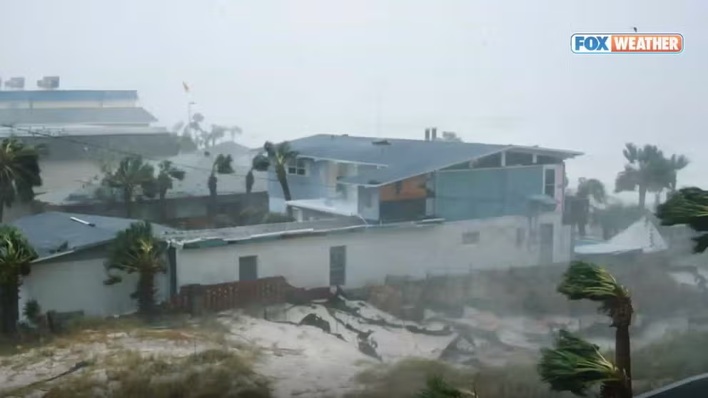
ASAN BEACH, Guam – A small island in the Pacific Ocean that has monumental importance for America’s Indo-Pacific relations is facing the first tropical threat of the year as what is known as Tropical Storm Sanvu inches closer to Guam.
The island is situated in the southern part of the Mariana Islands and lies within a zone where tropical cyclones can form year-round.
Sanvu is the first tropical storm of the year to form in the Pacific, and the U.S. National Weather Service office on the island last reported the storm's sustained winds to be 50 mph.
Its expected northwesterly heading will bring the center of circulation closer to Guam, but the FOX Forecast Center expects the storm to weaken and, at most, increase rains and seas for the island.
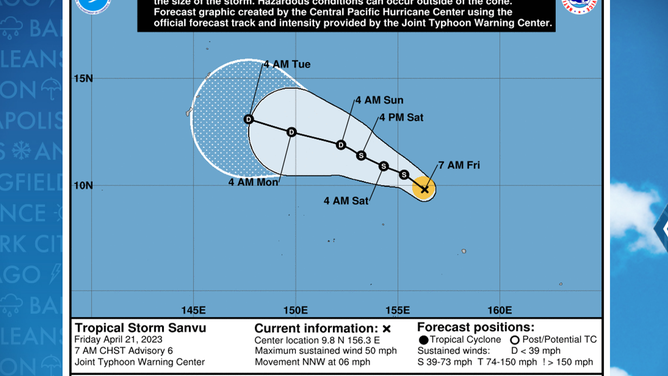
Forecast track for Tropical Storm Sanvu
(FOX Weather)
The U.S. government estimates 21,700 military members and their families are based on the small island that is home to several Navy installations.
So far, government meteorologists have only urged residents of the Marianas to pay close attention to the storm system and have not issued any weather alerts for the main island.
A five-day forecast cone issued by the Joint Typhoon Warning Center shows the tropical storm will slowly weaken into a tropical depression well southeast of Guam and the other islands.
Unlike the basins of the Atlantic or Eastern Pacific, the Western Pacific does not have designated start and end dates for the season.
Similar to the other basins, NWS meteorologists based in Guam say heightened cyclone activity usually occurs during the late summer and fall, similar to what other countries in Northern Hemisphere face.
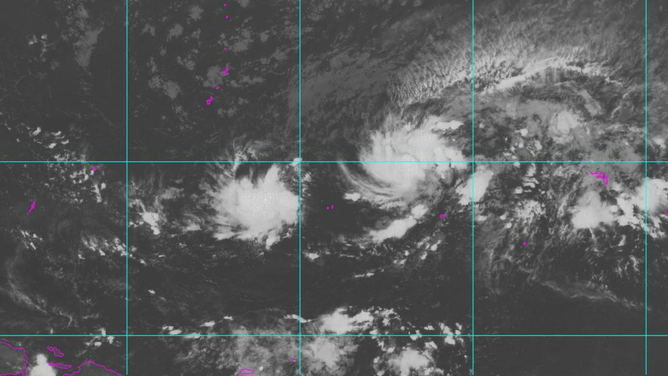
Visible satellite imagery of Tropical Storm Sanvu
(NOAA)
The status of the El Niño-Southern Oscillation, or what is commonly referred to as the ENSO, has large implications on how cyclones impact the typhoon-prone island.
According to local NWS meteorologists, a La Niña pattern typically leads to slower tropical cyclone development, meaning the pattern favors weaker impacts. During El Niño, as what the world is heading towards now, cyclone development tends to happen farther east, causing the development window to lead to higher chances of strong systems and more intense impacts.
EXPANDED TROPICAL CYCLONE OUTLOOKS, NEW NAMES IN STORE FOR THE 2023 HURRICANE SEASON
Asides from being the first tropical storm of 2023 in the Pacific, the cyclone will also go down in history books as being one of only a few tropical cyclones to ever pass through the shadow of a solar eclipse.
The rare celestial event happened on Wednesday when the moon passed between the Earth and the sun, causing a shadow to form over parts of the eastern Indian Ocean and Western Pacific.
A weather satellite from 22,300 miles up captured stunning imagery of the moments the eclipse moved over the vast oceans.
Asides from a temporary drop in air temperatures, weather observers said an eclipse does little to change weather patterns.
Computer forecast models show Tropical Storm Sanvu will continue to gradually weaken over the open ocean and is not expected to regenerate into a powerful storm.