Saharan dust arrives in US, decreases rain chances along parts of Gulf Coast
SAL from Africa can reduce tropical activity across the Atlantic basin
Saharan dust leads to unlikely tropical development in Atlantic
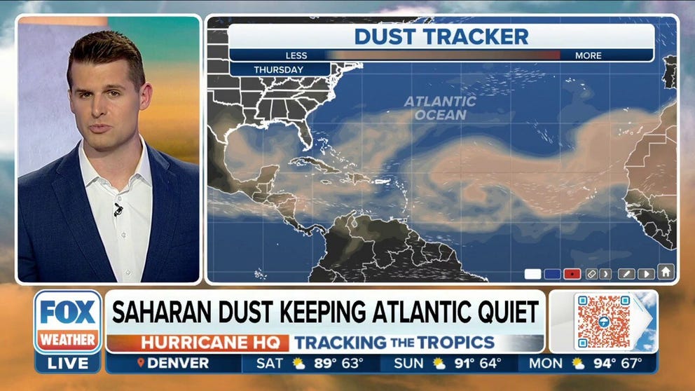
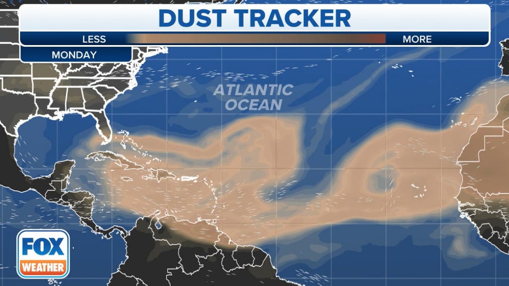
A plume of dust and dry air from the Saharan Desert is expected to keep tropical activity in the Atlantic Ocean quiet for the next week.
A plume of dust and dry air from the Saharan Desert in Africa is causing impacts across the Atlantic and will lead to a decrease in thunderstorm activity for parts of Florida and along the Gulf Coast through the weekend.
Plumes of the Saharan Air Layer are common during the late spring and summer as winds carry the tiny particles more than 5,000 miles across the Atlantic Ocean.
The National Oceanic and Atmospheric Administration says the base of SAL is typically a mile above Earth’s surface and can be a couple of miles thick.
Saharan dust forecast animation
Florida and parts of the Gulf Coast could see hazy skies over the next several days.
The air layer is known to decrease visibilities, reduce moisture and can enhance the colors of sunrises and sunsets.
Experts say the air has about 50 percent less moisture than the typical atmosphere, which means the presence of air can be detrimental to tropical cyclone activity across the Atlantic basin.
5 THINGS TO KNOW ABOUT THE SAHARAN DUST PLUME
Ongoing plumes emerging from the coast of Africa are one of the many factors that have led to the hurricane season appearing benign in recent weeks.

Meteorologists expect the lull in hurricane activity to continue into the first week of August.
Forecast models show off and on dust plumes will impact Florida and the Gulf Coast and into the new month as they work their way from west to east across the basin.
HOW TO WATCH FOX WEATHER ON TV
In addition to the decreased rains and colorful sunsets, if the SAL is thick enough, communities could see more hazardous air quality readings.
When air qualities are poor, some people can experience breathing difficulties.
According to WebMD, eye, nose and throat irritations are also possible when there are outbreaks of fine dust particles in the air.
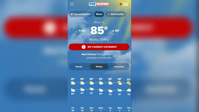
FOX Weather app forecast for Miami.
(FOX Weather)