Drenching rains continue flooding risk in Missouri, Southeast Friday after stormy Thursday causes damage
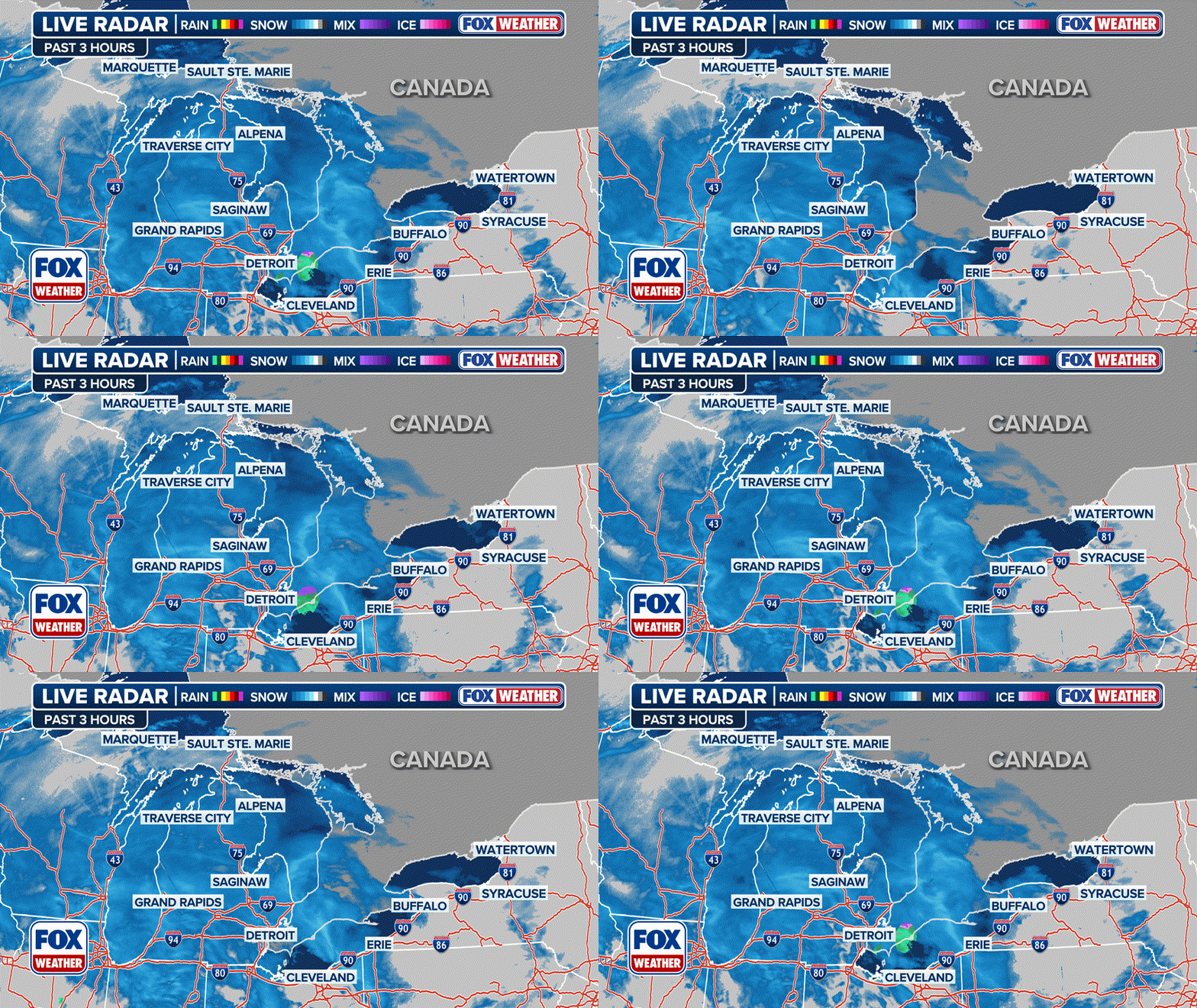
It's been a soggy week across much of Missouri and western Kentucky and Tennessee as several inches of rain fell, leading to areas of flash flooding, and the forecast for Friday is no different as more strong thunderstorms sweep through the area.
Severe storms with flooding threat move into the South
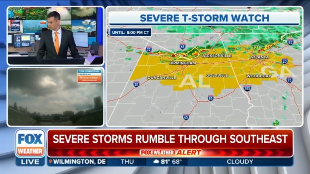
A Severe Thunderstorm Watch has been issued for parts of Alabama and Georgia through 9 p.m. ET due to the threat of damaging winds and hail.
COLUMBIA, Mo. -- It's been a soggy week across much of Missouri and western Kentucky and Tennessee as several inches of rain fell, leading to areas of flash flooding, and the forecast for Friday is no different as more strong thunderstorms sweep through the area.
A Flash Flood Emergency was issued Friday morning for Union City, Tennessee. Thunderstorms produced between 9 and 11 inches of heavy rain in the Green Acres mobile home park, where evacuations took place. Additional rainfall amounts of 2 to 4 inches are possible in the warned area.
Another Flash Flood Emergency was issued for Hickman, Kentucky, after emergency management reported numerous roads flooded and evacuations in the city and across Fulton County. Between 4 and 7 inches of rain have fallen, with up to 3 inches more expected.
Meanwhile, flash flooding in Oneonta, Alabama, triggered water rescues after 3 inches of rain fell in 4 hours, according to the National Weather Service.
Flood Watches cover much of the same area Friday morning that has been drenched since Wednesday, stretching from central and southeastern Missouri through western Kentucky and into a swath of western Tennessee and even northern Alabama.

(FOX Weather)
Thunderstorms riding along a stalled frontal boundary in the area are tapping into copious amounts of available moisture from the hot, humid air in the region and dropping as much as 1-2 inches of rain per hour, with storm totals reaching 2-3 inches. It's enough rain to bring a risk of flash flooding.
Renewed reports of flash flooding in Missouri Friday morning came in from Linn and Mount Sterling, just southeast of Jefferson City, where radar estimates show several inches of rain have fallen this week. Farther south, spotters reported flash flooding in Dyer, Tennessee and Oneonta, Alabama.

(FOX Weather)
The Flood Watches expire around midday Friday, with thunderstorms finally tapering off Friday afternoon.
Flash Flooding drenches Missouri Thursday; strong winds cause damage in South
Friday's thunderstorms are on the heels of hours of storms Thursday that produced flash flooding in Missouri in the morning, then moved into the South that evening, where damaging winds and hail were reported across at least six states.
Most of the damage reports were centered between Birmingham, Alabama, and Atlanta, where trees were knocked down, and power outages topped 50,000.
At least two people were injured by lightning strikes in Alabama and Georgia.
Missouri copes with flooding
The largest rain report out of the Show Me State on Thursday was near Mokane, Missouri, where 9.32 inches has fallen in the past two days.
According to the National Weather Service, spotters reported several streets had flooded in the town of Patton. Significant flooding was also reported in the towns of Eldon and New Bloomfield. Highway 185 was covered with floodwaters in Sullivan, while other Missouri highways were flooding in Syracuse and Florence.
Missouri State Parks said Thursday that both St. Francois State Park and the campground at Meramec State Park had been closed because of flooding.
Powerful winds were also associated with some of the storms that have produced the heavy rain. A gust of 79 mph was clocked in Columbia on Thursday morning. Trees were toppled in Farmington, Park Hills and Fruitland, according to the National Weather Service.
About 20,000 power outages were reported in Missouri as of Thursday afternoon, according to poweroutage.us.


