Denver swings from snow to 70s in Colorado's weekend weather roller coaster
Already Denver International Airport reported 3.3 inches of snow through midnight Saturday morning with more snow and freezing fog lingering into the predawn hours.
Spring snow falling in Colorado
The Denver area awoke Saturday to a few inches of snow on the ground with some areas in the foothills of the Rockies crossing a foot of snow. But don't worry, warmer weather is on the way...and fast.
DENVER – Denver's weather resembles a roller coaster this weekend, as Saturday began under a blanket of snow yet in true Colorado form, temperatures in the 60s and 70s will return before the weekend ends.
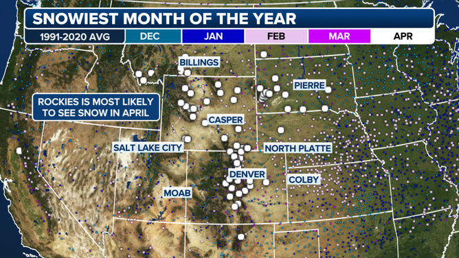
March and April reign as the snowiest months in the region and their characteristic flurry will be felt into midday Saturday as a storm deposited snow across the Plains and the Front Range of Colorado.
WHEN CAN YOU EXPECT THE LAST SNOW OF THE SEASON?

The Rockies are most likely to see snow in April.
(FOX Weather)
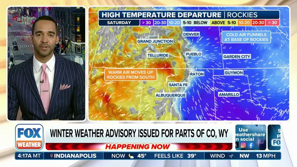
The snow is unfolding as an area of high-pressure slides southeastward across the Great Plains, the FOX Forecast Center said. The difference in pressure between the Plains high and a low over the Southwest will allow northeasterly winds to develop.
These northeast winds will meet the Front Range, where they'll be forced up. The moisture condensed into rain at first, then changed to snow overnight.
HOW MUCH SNOW DOES YOUR CITY NORMALLY GET IN A YEAR?

(FOX Weather)
Already, Denver International Airport reported 6.3 inches of snow through midnight Saturday morning with more snow and freezing fog lingering past dawn.
Snow totals around the heart of Denver reached to around the 2-6 inch range in many spots with Commerce City reporting 7.6 inches. Boulder also reported between 5-7 inches on the ground. Up in the foothills of the Rockies, Nederland reported 12.5 inches, according to National Weather Service spotter reports.

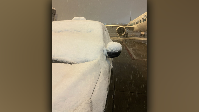
Snow falls at Denver International Airport on April 20, 2024.
(@baugh_elliot/X)
WHERE IN THE WORLD HAS IT NEVER SNOWED?
This all comes just five days after three feet of snow fell in the Front Range from Monday night into Tuesday.
But the snow won't stick around too long – it'll melt as rapidly just as it arrived.
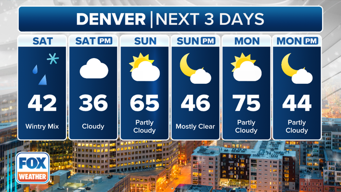
By Sunday, temperatures outside the higher mountain peaks will already rebound into the 60s during the afternoon. Then enjoy Monday with temperatures in the 70s.

Three day forecast for Denver from Saturday April 20 through Monday April 22.
(FOX Weather)
