

Fast-moving severe storms barrel toward Mid-Atlantic, Carolinas following destructive Midwest tornadoes
A broad Level 2 out of 5 severe weather threat spans much of the Mid-Atlantic and Carolinas region, with storms capable of producing damaging winds, hail, and tornadoes.
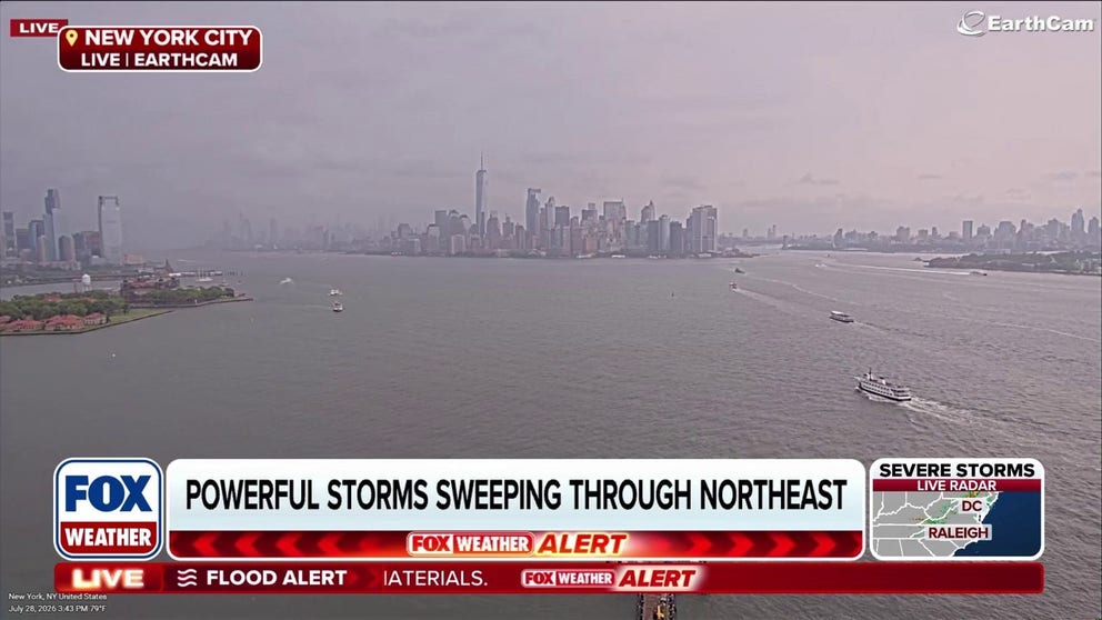
Millions under Tornado Watch as severe storms, flash flooding target the Northeast
About 32 million Americans are now under a Tornado Watch, with storms targeting the Mid-Atlantic on Tuesday night. FOX Weather Meteorologist Ian Oliver is here with the latest on what you can expect.
Continuing the trend of an exceptionally active July across the Midwest and East, the multiday severe weather threat is making its final push toward the coast.
WATCH: LARGE, DANGEROUS TORNADO RIPS THROUGH WISCONSIN AREA AS SEVERE STORMS RAMP UP
Severe weather is charging into the Mid-Atlantic and Carolinas on Tuesday, bringing threats of damaging winds, hail, and tornadoes within a broad Level 2 out of 5 risk area spanning much of the region.
About 32 million Americans are also under a Tornado Watch this evening, with storms targeting the Mid-Atlantic Tuesday night, the FOX Forecast Center said.
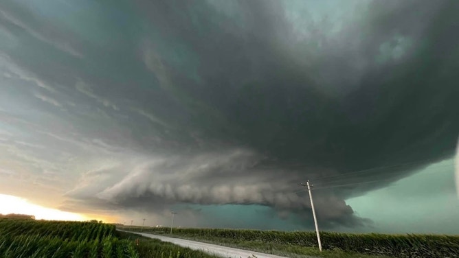
![]() Image 1 of 7
Ominous dark clouds hover over Nevada, Iowa, during severe thunderstorms on July 21, 2026. (Stephanie Badger)
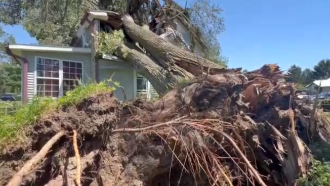
![Severe storms cause damage across parts of Lake Geneva, Wisconsin, on Friday July 3, 2026.]() Image 2 of 7
Severe storms cause damage across parts of Lake Geneva, Wisconsin, on Friday July 3, 2026. (WITI)
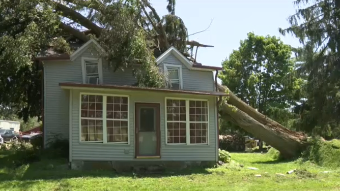
![Severe storms cause damage across parts of Lake Geneva, Wisconsin, on Friday July 3, 2026.]() Image 3 of 7
Severe storms cause damage across parts of Lake Geneva, Wisconsin, on Friday July 3, 2026. (WITI)
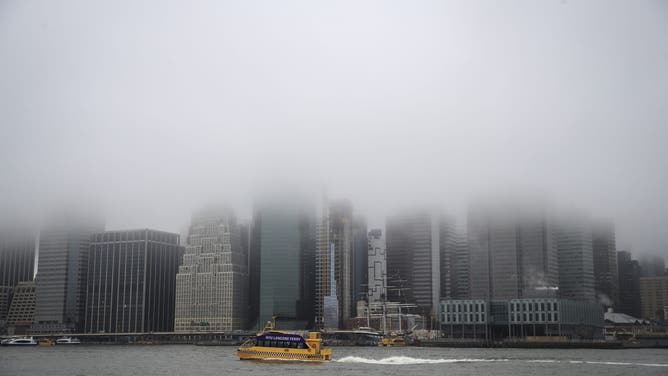
![]() Image 4 of 7
A dense fog blankets the East River in New York City. (Drew Angerer/Getty Images)
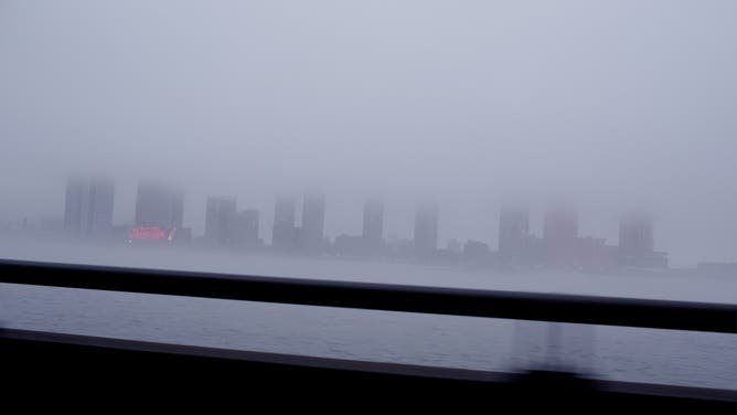
![]() Image 5 of 7
A dense fog covers the Queens skyline, as seen across the East River from the FDR Drive. (Andrew Lichtenstein/Corbis via Getty Images)
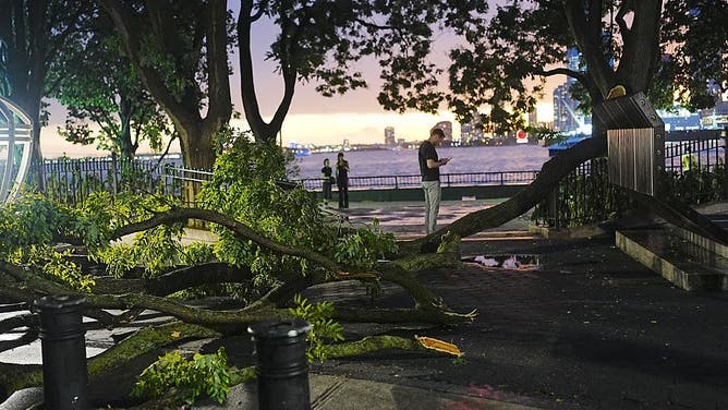
![NEW YORK CITY, UNITED STATES - JULY 3: Tree branches lie across a sidewalk after a severe storm swept through New York City, United States, on July 3, 2026. The storm caused damage in parts of Manhattan, breaking tree branches and affecting public areas.]() Image 6 of 7
NEW YORK CITY, UNITED STATES - JULY 3: Tree branches lie across a sidewalk after a severe storm swept through New York City, United States, on July 3, 2026. The storm caused damage in parts of Manhattan, breaking tree branches and affecting public areas. ((Photo by Selçuk Acar/Anadolu via Getty Images))
![Water from the Black River nearly passes a road in Lesterville, MO.]() Image 7 of 7
Water from the Black River nearly passes a road in Lesterville, MO. (Katie Poliette-Hultberg/Facebook)

A Tornado Watch has been issued for parts of Delaware, Washington, D.C., Maryland, New Jersey, Pennsylvania and Virginia through 10 p.m. EST.
This follows a very active Monday where storms tore through the Midwest starting in the mid-morning hours and lasted well into the evening.
SEE IT: POWERFUL TORNADO LEAVES TRAIL OF DESTRUCTION ACROSS WISCONSIN COMMUNITIES
Despite only a Level 1 risk for tornadoes and no active watches, destructive twisters tore across Illinois and Wisconsin.
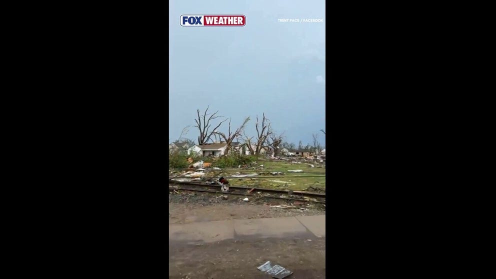
Destructive tornado rips through Wisconsin
The city of Menasha, Wisconsin, sustained extensive damage after a tornado moved through the area. Officials reported damaged structures, downed trees and debris scattered across the community.
Over 500,000 customers lost power at the peak of the storm's activity, 300,000 of whom were in Illinois, with wind gusts topping 70 mph in some areas.
The severe storms tore roofs off homes, uprooted trees, and left a path of destruction across the area.
Severe thunderstorms capable of producing damaging winds and isolated hail are possible from the southern Mid-Atlantic into the Carolinas and parts of the Appalachians through Tuesday evening.
Additionally, a tornado threat may also develop from southeast Virginia into eastern North Carolina.
A broad Level 2 out of 5 storm threat has been issued for much of the region.

(FOX Weather)
The environment will become increasingly favorable for supercells, bringing the greatest chance for severe storms to parts of eastern Virginia and east-central to northeast North Carolina.
"Farther north, wind shear will be weaker aloft. However, favorable low-level shear may yield a brief tornado as well into eastern Pennsylvania and New Jersey," the FOX Forecast Center said.
2 DEAD IN WEST VIRGINIA AFTER CATASTROPHIC FLOODING SLAMMED THE STATE, TRIGGERING STATE OF EMERGENCY
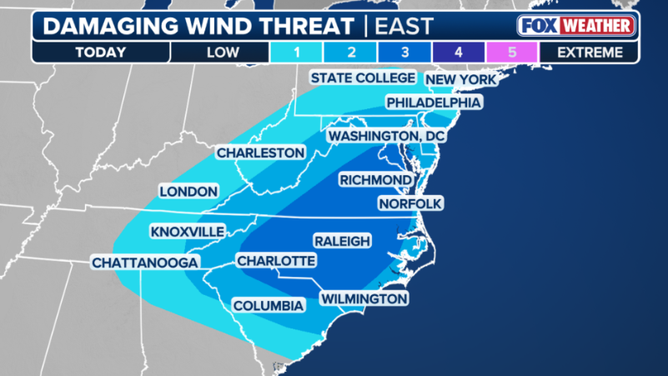
Tuesday's wind threat outlook
Otherwise, additional storms are likely across the Appalachians as daytime heating occurs beneath the relatively cool temperatures aloft.
The atmospheric setup will favor hail and locally damaging winds.
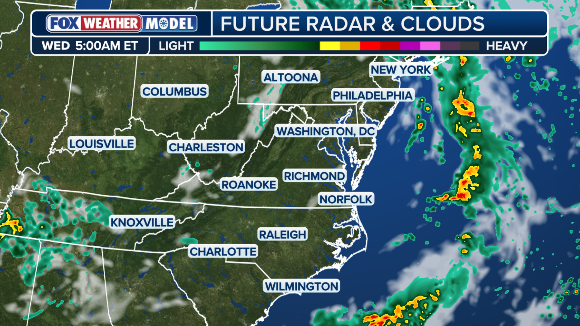
(FOX Weather)
The storms are also bringing an increased flash flood threat for the I-95 corridor and New England.
Stay with FOX Weather for the latest on severe storms impacting the Midwest and East.