
Could Super El Niño influence the polar vortex to do something it's never done before this winter?
Typically, the polar vortex is very stable and strong during the fall, allowing cold air to bottle up and cause more disruptions in the winter months.This year, however, forecast models are saying this may not be the case, as Super El Niño continues to strengthen through the fall and winter.
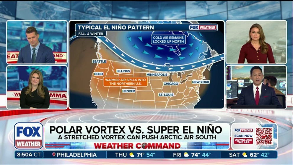
Winter could feature a tug-of-war pattern between the Polar Vortex and Super El Niño
This winter could be one for the record books as Super El Niño and the Polar Vortex go head-to-head. With a predicted warmer winter ahead, the Polar Vortex may break down earlier than ever, sending cold air into the U.S. in late November or December. Only time will tell if Super El Niño with its warmer-than-average winter will come out on top or if the Polar Vortex will win out.
Winter 2026–27 is expected to feature a record Super El Niño, bringing warmer-than-average conditions for much of the country.
While many questions surround an El Niño of this magnitude, forecasters are also watching and predicting how the polar vortex could interact with this weather pattern.
The polar vortex, a region of fast-moving winds encircling Earth’s poles, always exists, and it's often the source of extreme-cold outbreaks that impact the U.S. in the winter.
COULD HISTORY REPEAT ITSELF? HOW PAST SUPER EL NIÑO WINTERS OFFER CLUES ABOUT WHAT'S AHEAD
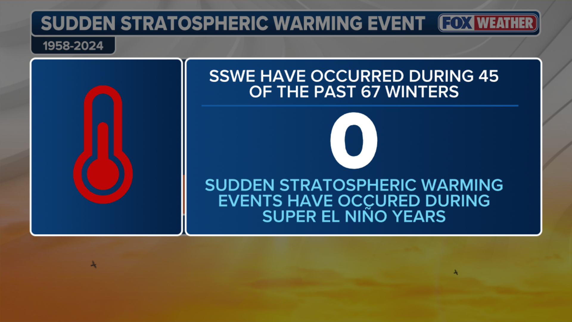
These outbreaks occur when the normally stable vortex is disrupted by a rapid temperature increase in the stratosphere, tens of thousands of feet above the surface, called a "Sudden Stratospheric Warming" event.
Sudden Stratospheric Warming events can stretch or displace the polar vortex away from the pole, dragging the core of dense Arctic air southward with it, sending it into the Northern Tier of the U.S.

CHICAGO, ILLINOIS - JANUARY 24:A wide-angle view shows the downtown Chicago skyline reflected in the partially frozen surface of Lake Michigan on January 24, 2026.
(Jacek Boczarski/Anadolu / Getty Images)
Typically, the polar vortex is very stable and strong during the fall, allowing cold air to bottle up and cause more disruptions in the winter months.
This year, however, forecast models are saying this may not be the case, as Super El Niño continues to strengthen through the fall and winter.
HISTORIC POLAR VORTEX DISRUPTION COULD ARRIVE EARLIER THAN EVER. HERE'S WHAT IT MEANS FOR WINTER
Forecasts are predicting that the polar vortex will weaken to record lows through early November. What happens after that depends on whether the disruption influences the atmosphere below, the FOX Forecast Center said.
(FOX Weather)
Circulation changes could extend downward over subsequent weeks, increasing the likelihood of the cold air shifting south into North America, including the U.S.
Super El Niño could offset some of the cooling that the polar vortex pushes into the U.S., the FOX Forecast Center said.
WINTER'S WARNING? MAJOR STORM TARGETS MILLIONS AMID INTENSIFYING SUPER EL NIÑO
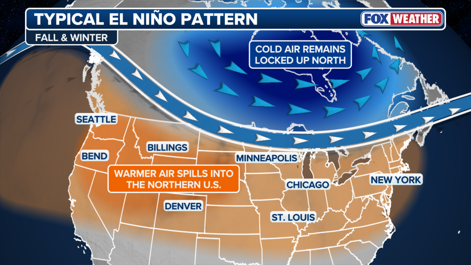
El Niño is known for changing the large-scale circulation across the Pacific, often favoring a stronger southern jet stream and a milder winter pattern across Canada and the northern U.S.
(FOX Weather)
If persistent high pressure over Canada and mild air from the Pacific driven by El Niño dominate, they could limit how often and how long any arctic air from the Sudden Stratospheric Warming events, even some strong ones, gets into the U.S.
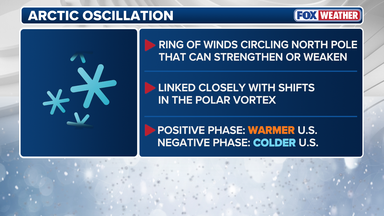
The Arctic Oscillation (AO) measures the broad pressure contrast between the Arctic and the middle latitudes, making it one way to track a deepening surface response, the FOX Forecast Center said.
WHAT ARE KING TIDES? THE NATURAL PHENOMENON BEHIND SEASONAL COASTAL FLOODING
(FOX Weather)
If the AO is negative, it typically means higher pressure over the Arctic and a circulation more favorable for cold air to reach lower latitudes.
If the AO is positive, it could mean stronger circumpolar flow and greater confinement of cold air toward the Arctic, the FOX Forecast Center said.
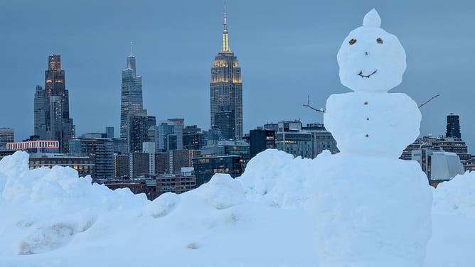
HOBOKEN, NJ - FEBRUARY 23: A snowman stands in a park in front of the skyline of midtown Manhattan and the Empire State Building in New York City following a snowstorm on February 23, 2026, in Hoboken, New Jersey.
((Photo by Gary Hershorn/Getty Images) / Getty Images)
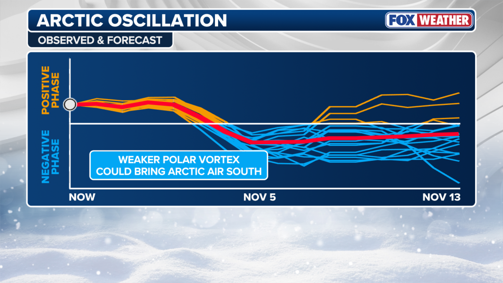
The FOX Forecast Center said long-range AO guidance shows the AO will stay positive through the first week of November, indicating mild air will stay in place across the U.S.
Starting the second week of November and continuing through the end of the month, models begin to differ.
Some models show the AO going negative, while others show it remaining positive.
(FOX Weather)
The forecast remains very uncertain, as ongoing Super El Niño conditions complicate predictions, the FOX Forecast Center said.
In the meantime, the Climate Prediction Center calls for above-average temperatures through the third week of November.
SUPER EL NIÑO THEN AND NOW: HOW THIS YEAR'S STRENGTHENING EVENT COMPARES TO HISTORIC EXTREMES
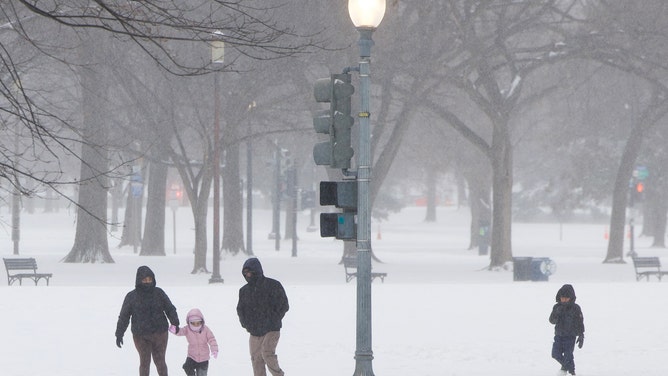
A family walks in the snow near the National Mall in Washington, DC, on January 25, 2026. A massive winter storm on January 24 dumped snow and freezing rain from New Mexico to North Carolina as it swept across the United States towards the northeast, threatening tens of millions of Americans with blackouts, transportation chaos and bone-chilling cold. After battering the country's southwest and central areas, the storm system began to hit the heavily populated mid-Atlantic and northeastern states as a frigid air mass settled in across the nation. (Photo by Amid FARAHI / AFP via Getty Images)
"That said, trends in modeling will need to be watched closely as they sort out this potentially unprecedented pattern," the FOX Forecast Center said. "If the pattern were to unload Arctic air south, it would not be nearly as cold as the air masses that arrive in the dead of winter."
Stay with FOX Weather as we continue to bring you the latest forecasts through this Super El Niño winter.