New supercomputers advance weather and climate forecasts, models
The new machines are three times more powerful than the ones they replaced
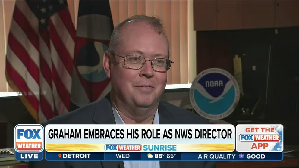
'We're going to be busy': NWS Director Ken Graham tackles changing climate
As hurricanes have become more frequent, there was one face many Americans got used to seeing on social media and TV – Ken Graham. In his first network one-on-one interview, Graham spoke with FOX Weather's Jason Frazer about his path here and what he fears the most.
It’s a deceptively simple question: What’s the weather going to be like today?
To find the answer, you might check your weather app or turn on the news to watch colorful forecasts sweep across the screen.
HOW TO WATCH FOX WEATHER ON TV
While the information is delivered to you quickly — and often with a charming meteorologist’s grin — it’s only made possible by computers processing vast amounts of weather data.
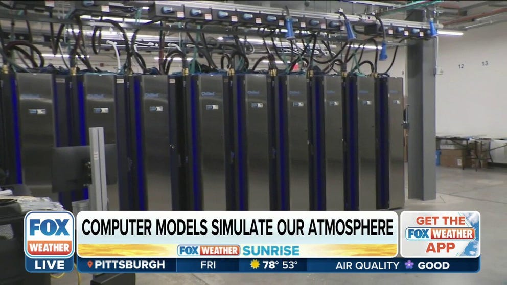
Weather forecast computing at the National Oceanic and Atmospheric Association (NOAA), the federal agency that oversees the National Weather Service, received a tremendous boost this summer when the newest weather and climate supercomputers in the country came into operation.
In partnership with General Dynamics Information Technology (GDIT), NOAA replaced two of their older generation supercomputers with two new Hewlett Packard Enterprise Cray supercomputers.
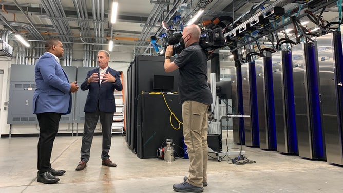
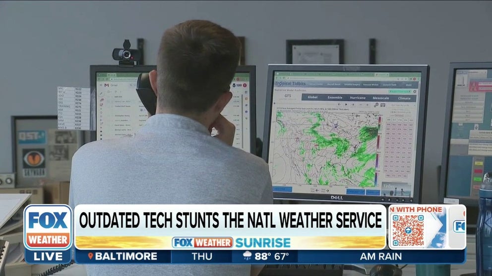
FOX Weather’s Jason Frazer (left) spoke with GDIT's Kevin Connell (center) at the NWS facility housing one of the supercomputers. The machine (far right) hummed away in an industrial room, safely tucked away from the sun, storms and other types of weather elements that it helps forecast.
(FOX Weather)
"These machines are three times more powerful [than the machines they replaced] and able to accommodate many, many more times the amount of data that are being adjusted, as well as much higher fidelity weather forecasts, more complex physics to have a higher level of resolution of what's actually being forecast," said Kevin Connell, GDIT Vice President and General Manager for Science and Engineering.
The new supercomputers join NOAA's robust network of computers. But according to Connell, the new machines are a major advancement to NOAA's forecasting capability through its additional supercomputing capability.
New supercomputers will advance weather and climate forecasts
The National Weather Service says a new computer upgrade will make the forecast for your next flight a lot more accurate. FOX Weather's Jason Frazer got a look at how this will work.
One of the new supercomputers is located in Phoenix, Arizona, while the other is in Manassas, Virginia. According to NOAA, the supercomputers are named after local plant life — the supercomputer in the greenscapes of Manassas is called "Dogwood" while the one in the deserts of Phoenix is called "Cactus".
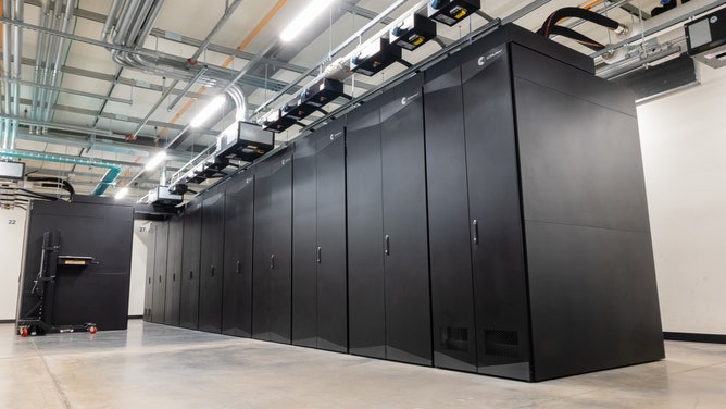
The supercomputer "Cactus" in Phoenix, Arizona.
(General Dynamics Information Technology (GDIT))
Connell noted that Dogwood and Cactus generate about 45 terabytes of weather products every day for NOAA. For perspective, one terabyte of data amounts to about 130,000 digital pictures.
"Now, you think about the new supercomputer and the increased computing power — it's exciting what's going to happen," said Kenneth Graham, director of the National Weather Service.
Graham and Frazer spoke about the potential for the new supercomputers, along with Graham's new role leading the NWS.
LEARN ABOUT KEN GRAHAM'S VISION FOR THE NATIONAL WEATHER SERVICE
Fixing outdated technology is top priority for NWS Director Ken Graham
The National Weather Service has at times struggled to keep up with technological advances that have sometimes left some first responders and meteorologists without the information they need. In his first one-on-one network interview with FOX Weather's Jason Frazer, Ken Graham says fixing those issues is a top priority.
Graham has been part of the NWS for nearly 30 years. Starting as an intern, working his way up to become the direction of NWS’s National Hurricane Center and then becoming the NWS director in June 2022, Graham has seen the field of weather forecasting change over the years — with the addition of the two supercomputers helping further that change.
"We're looking at better forecast, but you'll have information that's maybe further out in time. You'll have information that's sooner," Graham said.
Graham noted another significant change on the horizon: NWS is going to replace two of the hurricane models that have been in use with a "better model" in 2023, because of the additional processing power of the new supercomputers.
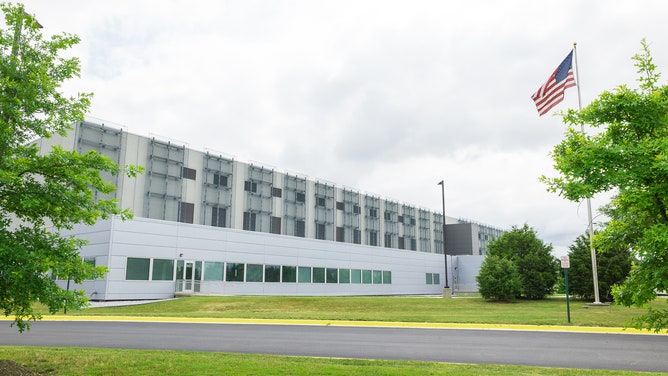
The National Weather Service building in Manassas, Virginia. It houses Dogwood, one of the new supercomputers.
(General Dynamics Information Technology (GDIT))
The new machines have already started running "hugely complex" weather forecasting models, according to Connell.
"Every 15 minutes, every hour, every 6 hours, major weather products are released from these supercomputers, and they end up on your phone — every forecast that businesses, that consumers, that the military uses in the U.S. are based on the weather forecasts that NOAA generates using these supercomputers," he said.
SEE HOW WEATHER RADARS HAVE BEEN SAVING LIVES FOR OVER 30 YEARS
"This is our most mission critical system," he added. "Having a role that GDIT plays in helping NOAA generate timely, accurate and evermore enhanced weather forecasts is a really, really proud moment for us."