

Midweek severe storm threat to drench millions as thunderstorms target major Northeast cities
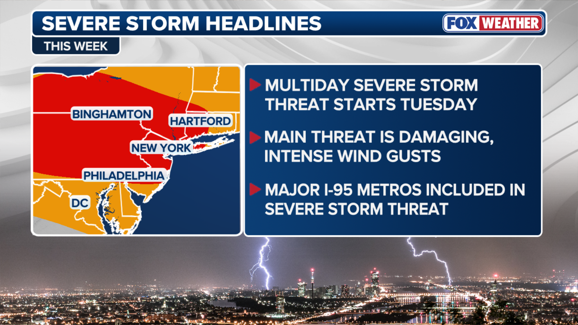
Severe storms capable of producing damaging wind gusts are set to slam popular metro areas in the Northeast by midweek.
Severe storms target major Northeast cities by midweek
STORM WATCH: Repeated rounds of severe storms are targeting major Northeast cities by midweek, with rain, thunderstorms and intense wind gusts to watch for. Did you expect this type of weather close to Meteorological fall?
Another round of nasty weather is targeting millions in the Northeast starting midweek, as the odds for severe weather have increased.
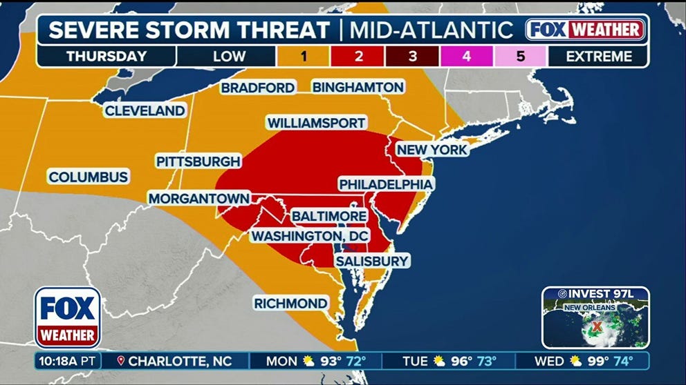
Starting midweek, severe storms capable of producing damaging wind gusts are set to slam popular metro areas along the Interstate 95 corridor in the Northeast, as we head into September and meteorological fall.
This comes as a large heat dome across the Great Plains and Southern U.S. pushes a jet stream farther north, positioning a severe storm path across the Northeast.
WHAT IS A HEAT DOME AND HOW CAN IT AFFECT YOU DURING THE SUMMER MONTHS?
This is a recipe for severe storms, as it will combine with plenty of wind shear and above-average moisture, setting the stage for intense conditions.
(FOX Weather)
On Tuesday, severe conditions will begin across the Northeast as storms coming from Canada usher into the East Coast.
In light of this, there is a Level 2 out of 5 severe storm threat stretching from the Great Lakes to the I-95 corridor.

(FOX Weather)
Continuing into Wednesday, a Level 2 out of 5 severe storm threat will persist along Lake Ontario, stretching south to include popular cities such as New York City, Baltimore, Philadelphia, and Hartford, Connecticut, according to the FOX Forecast Center.
"As if the storms weren’t enough, flash flooding will be increasingly likely, especially in urban areas where runoff occurs more easily," the FOX Forecast Center said. "Rain rates will generally run around 1 to 2 inches per hour, with totals reaching up to 3 inches in localized spots."
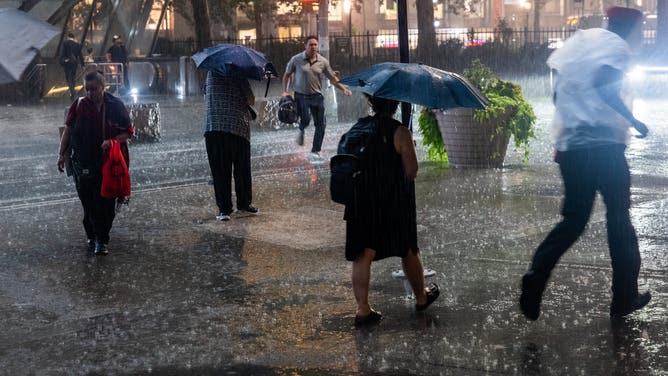
NEW YORK, NEW YORK - AUGUST 13: People try to get out of the rain in Manhattan after a strong thunderstorm moved through the area on August 13, 2025 in New York City. The early evening storm brought high winds and heavy rain to the New York metropolitan area, resulting in numerous calls for downed wires and local flooding.
( Spencer Platt / Getty Images)
Damaging wind gusts will be the primary threat of these severe storms, but brace for flash flooding as repeated rounds of rainfall continue through the week.
38 MILLION FACED TORNADO, FLOOD THREAT AS SEVERE STORMS SWEPT NORTHEAST CITIES
By Thursday, the Level 2 out of 5 severe storm threat will still exist for the major cities in the Northeast as wet and nasty weather drench commuters this work week.