Lake-effect snow drops 1-4 inches across Salt Lake City
Utah DOT officials warned drivers along the Wasatch Front to delay travel Wednesday morning until the snow faded in the hours ahead.
Lake-effect snow drops 1-4 inches across Salt Lake City
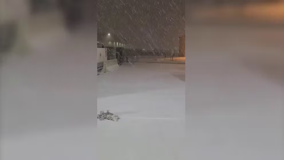
A lake-effect snow made of a wintry scene around the Salt Lake City area Wednesday morning. Snow began falling Tuesday night and accumulations reached 1-3 inches around the city by morning, with a few reports as high as 4 inches, according to the National Weather Service.
SALT LAKE CITY – A lake-effect snow made of a wintry scene around the Salt Lake City area Wednesday morning.
Snow began falling Tuesday night and accumulations reached 1-3 inches around the city by morning, with a few reports as high as 4 inches, according to the National Weather Service.
Utah DOT officials warned drivers along the Wasatch Front to delay travel Wednesday morning until the snow faded in the hours ahead. "Temps in the teens and 20s combined with widespread snowfall have made roads slick."
When you think about "lake effect snow", usually Buffalo or somewhere along the Great Lakes might immediately come to mind, but other large lakes can create snow too, including the Great Salt Lake.
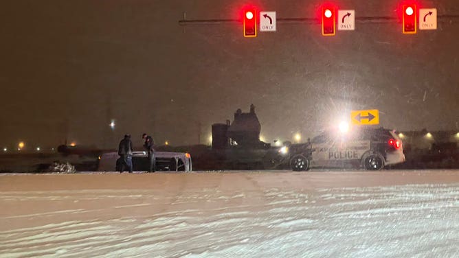
Car wrecks as snow falls in Salt Lake City area on Feb. 2, 2022.
(Jordan Hogan via FOX 13 Utah)
LEARN: What makes a "Lake Effect" Snow?
Cold air swept into northern Utah Tuesday morning but water lake water temperatures were around 34 degrees, the NWS said.
As that cold air passes over the lakes, warmth and moisture from the water are picked up and transferred into the lowest portion of the Earth’s atmosphere. This rising air condenses into clouds, which can grow into narrow bands that are capable of producing snow.
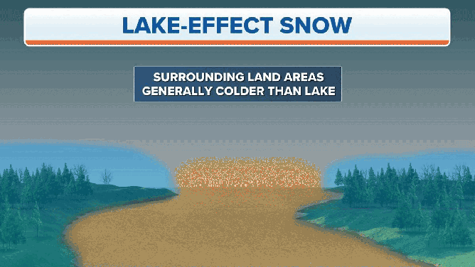
Lake-effect snow forms when cold air moves over warm water.
(FOX Weather)
A Winter Weather Advisory was in effect until 9 a.m. Mountain Time and then snow was expected to end.