Tropical rain soaking Carolinas with flooding possible along Southeast coast
The National Hurricane Center (NHC) had previously been monitoring the system for potential tropical development, but on Wednesday forecasters determined that there was no longer a chance that it would take on tropical characteristics.

Southeast getting swamped by rain and wind
Heavy rain is impacting the southeastern US Thursday as a non-tropical low moves up the coast. Flash flooding is possible, as multiple inches of rain could fall in the Carolinas.
CHARLESTON, S.C. – A non-tropical area of low pressure brought heavy rain and flash flooding to the Southeast coast on Thursday, including portions of South Carolina and North Carolina through the end of the workweek.
The National Hurricane Center (NHC) had previously been monitoring the system for potential tropical development, but on Wednesday forecasters determined that there was no longer a chance that it would take on tropical characteristics.
However, the area of low pressure started to move up the Southeast coast after dumping more than 6 inches of rain in South Florida, including Miami, earlier this week.

Warning boxes are color coded as: Severe Thunderstorm Warnings in yellow, Tornado Warnings in red, Tornado Warnings with confirmed tornado in purple, Flash Flood Warnings in green, and Flash Flood Emergencies in pink.
(FOX Weather)
The system is now expected to track over land, which closes the window for tropical development.

Rounds of rain to soak Southeast
A non-tropical area of low pressure will soak parts of the South Carolina and North Carolina coasts through Friday.
In addition, the FOX Forecast Center noted that a large pocket of dry air on the backside of the system and strong wind shear over the potential development area also prevented it from taking on any tropical characteristics.
While there are no longer any chances for tropical development, forecasters asked coastal communities to remain on alert.
HURRICANE HUNTERS' FIRST TROPICAL MISSION OF 2025 SEASON TO TARGET AREA OFF SOUTHEAST COAST

(FOX Weather)
Timing of storms
Rain arrived along the Georgia and South Carolina coasts on Wednesday afternoon before starting to spread to the North Carolina coast Wednesday night and into Thursday morning.
Between 2-3 inches of rain was expected in the Charleston, South Carolina, and Wilmington, North Carolina, metro areas through Friday, with the potential for higher local amounts.
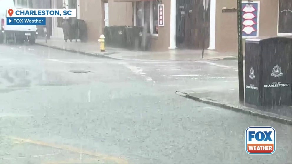
Watch: Heavy rains plague Charleston amid soaking storms
Heavy rain plagued Charleston, South Carolina Thursday morning as a non-tropical area of low pressure moves up the coast. Flooding is possible, as 2-3 inches of rain could hit Charleston.
For now, the heaviest rain appears to remain offshore.

Heavy rain brings flooding to southeast
Flooding is impacting the southeast after a day of heavy rain. Video from Southmont, North Carolina shows clay being brought down a hill and into a flooded lake Thursday.
NOAA's Weather Prediction Center issued a Level 1 out of 4 flash flood threat portions of South Carolina and North Carolina on Thursday, including cities like Charleston and Myrtle Beach in South Carolina, and Wilmington, Fayetteville, Raleigh and Hatteras in North Carolina.

(FOX Weather)