Bryan Norcross: Atlantic is mostly calm while the eastern Pacific heats up
Hostile conditions from strong upper winds and Saharan dust are limiting activity in the tropical Atlantic. While the first systems of the year are strengthening in the Pacific waters off Mexico.

(FOX Weather)
Updated at 9 a.m. EDT Thursday
The large-scale weather pattern over the tropical oceans is returning to some semblance of normal for late June. Hostile conditions from strong upper winds and Saharan dust are limiting activity in the tropical Atlantic. While the first systems of the year are strengthening in the Pacific waters off Mexico.
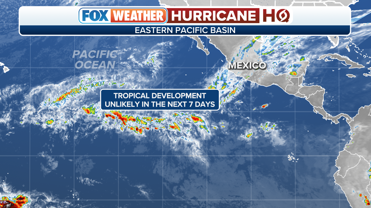
Hurricane Adrian has a little time to strengthen before it heads west into cooler Pacific waters. It came very late in the season compared to average – the second-latest on record. Now a second system is organizing. It will threaten the west coast of Mexico around Manzanillo in a few days.
(FOX Weather)
In the Atlantic, an area of disturbed weather south of Bermuda has a slight chance to develop through non-tropical processes as it moves north over the next few days. There’s no indication it would get very strong or threaten land.
(FOX Weather)
Normally, when an El Niño is developing in the Pacific – the warming of the equatorial waters south of Hawaii – we expect more tropical activity there and less in the tropical Atlantic. We started this season with an out-of-whack weather pattern, however.
The Atlantic high-pressure system that typically sprawls across the ocean – the so-called Bermuda High – was much weaker than normal. This was part of the pattern that allowed Tropical Storms Bret and Cindy to form so early. Two artifacts of this weak high-pressure pattern are very warm tropical waters and less Saharan dust.
Unusual and persistent heat in Texas, storms across the South, cool weather in the Northeast, and the lack of Pacific storms have all been related to the weird atmospheric pattern – i.e., the configuration of the jet stream. Long-range computer forecasts show a more normal summertime alignment of weather systems in the weeks ahead.
For the foreseeable future, no threats are indicated from the tropical Atlantic, the Caribbean, or the Gulf of Mexico.
FOX Weather Hurricane Specialist Bryan Norcross has a podcast, Tracking the Tropics with Bryan Norcross, available now on FOX News Audio. You can get it on your device by clicking here.