Winter weather alerts stretch over 600 miles as back-to-back storms unleash snow, ice threat
Light snow is expected to fall across much of the Northeast, including upstate New York, Vermont and New Hampshire, before moving into Massachusetts, Rhode Island and Connecticut.

Winter Weather Alerts issued as new winter storm system targets Midwest with snow, rain and ice
A new winter storm system is set to bring snow, freezing rain, and dangerous ice to the Upper Midwest, creating major travel concerns on interstates. Winter Weather Alerts stretch from Minnesota to Michigan as the system expands east by Wednesday.
A fast-moving clipper system began Monday and is expected to track through New England, bringing yet another round of snow to parts of the northern U.S. that have already had their fill so far this winter.
Light snow fell across parts of the Northeast on Monday, with a few inches reported across portions of New England and few light snow showers in areas such as New York City.
This comes as the Northeast has already experienced a plethora of winter weather. Most notably, areas just outside New York City, such as Mamaroneck, New York, received a light dusting of snow.
![SPRING, TEXAS - JANUARY 21: Road crews spray a brine solution along I-45 north bound near Loretta Rd. Tuesday, Jan. 21, 2025, in Spring. (Melissa Phillip/Houston Chronicle via Getty Images)]() Image 1 of 4
Image 1 of 4FILE - SPRING, TEXAS - JANUARY 21: Road crews spray a brine solution along I-45 north bound near Loretta Rd. Tuesday, Jan. 21, 2025, in Spring. (Melissa Phillip/Houston Chronicle via Getty Images) ((Melissa Phillip/Houston Chronicle via Getty Images))
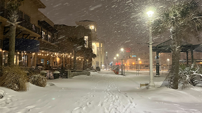
![This photo shows snow in Virginia Beach, Virginia, on Wednesday, Feb. 19, 2025.]() Image 2 of 4
Image 2 of 4This photo shows snow in Virginia Beach, Virginia, on Wednesday, Feb. 19, 2025. ( )
![FILE - A snow plow clears a pathway from snow on February 9, 2025 in Boston, Massachusetts. (Photo by Scott Eisen/Getty Images)]() Image 3 of 4
Image 3 of 4FILE - A snow plow clears a pathway from snow on February 9, 2025 in Boston, Massachusetts. (Photo by Scott Eisen/Getty Images) ( )
![Snow falls across Chicago.]() Image 4 of 4
Image 4 of 4Snow falls across Chicago. (Robert Ray/FOX Weather)


Buffalo, New York, received just under five inches of snowfall on Sunday as the Bills officially wrapped up their final regular-season game ever at Highmark Stadium.
LAKE-EFFECT SNOW BURIES PARTS OF NEW YORK IN FEET OF SNOW

Residents in upstate New York dig themselves out of heavy snow
Heavy lake-effect snow buried parts of upstate New York on Sunday, as intense winter weather conditions show no signs of slowing down in the Northeast this week.
Tuesday, an additional storm system will push into the Upper Midwest. This raises concerns about icing due to freezing rain, which would go hand in hand with unsafe road conditions for drivers, as well as the risk of black ice.
BILLS FANS ASKED TO LEND A HAND SHOVELING AT HIGHMARK STADIUM AHEAD OF MORE HEAVY SNOW
Icing is any deposit or coating of ice on an object caused by the impingement and freezing of a liquid, according to the National Weather Service (NWS).
The NWS has issued a Winter Weather Advisory for parts of Minnesota, including the Twin Cities, until noon on Tuesday.

(FOX Weather)
Earlier on in the day, forecasters will shift their attention to the Upper Midwest, where temperatures will rise just enough to produce a wintry mix as another system develops.
With this growing threat, areas to monitor for a swath of icing include Minnesota, Wisconsin and Michigan.
WHY DID THE SKY TURN PINK DURING A RECENT WINTER STORM IN IOWA?
Ice amounts appear light, according to the FOX Forecast Center, but it is still a concern in cities such as Detroit, Minneapolis, and Green Bay, Wisconsin.
To wrap things up on Wednesday, another system is expected to reach New England, bringing another mixed-precipitation setup: snow for higher elevations, a possible ice threat closer to the coast and spotty rain farther south.
There are a few areas to monitor by midweek, but a mixture of snow showers and ice remains the main threat for the northern tier of the U.S. this week.