Watch Post-Tropical Cyclone Kay unleash winds, flooding rain in Southern California, Arizona
Leftover rain from Kay is now spinning inland. While the wind is settling down, the rain remains with Flood Watches through the Golden State and Arizona.
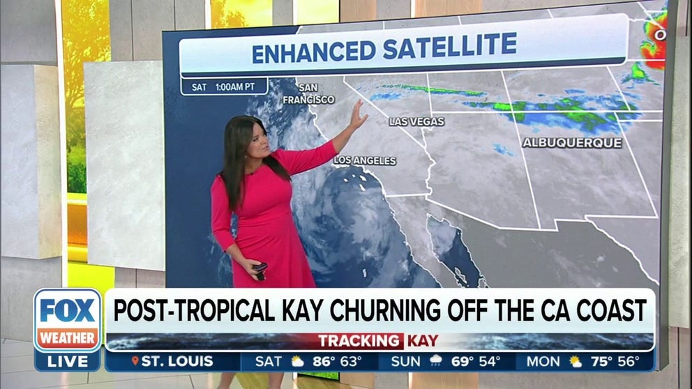
Post-Tropical Cyclone Kay churns off California coast
Post-Tropical Cyclone Kay continues to weaken as it tracks west and away from the northern coast of Baja California. Despite its weakening trend, its shield of anomalous moisture will continue to push north through southern California, southern Nevada, and western Arizona.
Post-Tropical Kay is not entirely done with Southern California.
The remnants of the now post-tropical storm are churning in the Pacific Ocean southwest of San Diego. Post-tropical simply means just a good old-fashioned rainstorm.
Leftover rain from Kay is now spinning inland, so more floods are still possible. While the wind is settling down, the rain remains with Flood Watches through the Golden State and Arizona.
Here are some images capturing the impacts of Kay.
Kay approaches Southern California and Arizona
On Friday, parts of Southern California experienced wind gusts as high as 109 mph, which was recorded on Cuyamaca Peak just east of San Diego.
The effects of Kay even contributed to a small plane crashing off of a runway at San Diego's Naval Air Station North Island.

Plane crashes in San Diego during impacts from Tropical Storm Kay
A small plane overshot the runway in San Diego during impacts from Tropical Storm Kay Friday afternoon.
When Kay struck Mexico's western shores
On Wednesday and Thursday, Kay caused the waters off Mexico's Pacific coastline to churn. The video below shows powerful waves rising and crashing upon beaches near Mazatlán, Mexico.
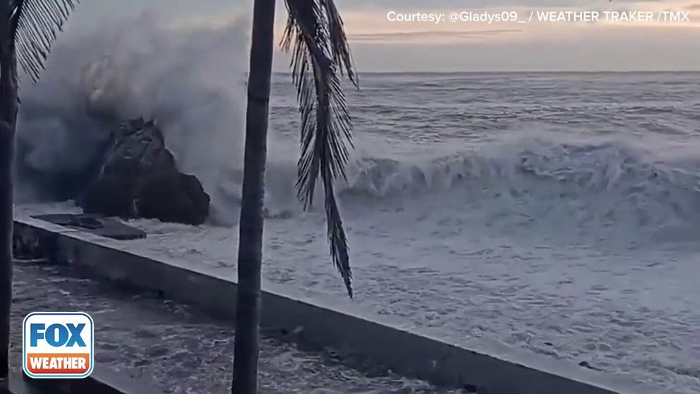
Kay stirs up rough seas in Mexico
Waves crash as then-Hurricane Kay causes rough seas near Mazatlán, Mexico on Wednesday. (Video: @Gladys09_ / WEATHER TRAKER /TMX)
While Kay was swirling in the Pacific Ocean, the storm sent heavy rains to cities, such as Cabo San Lucas on the southern point of Mexico's Baja California peninsula. The rain made driving on the roads challenging, as seen from the perspective of the driver below, struggling to see through their windshield.
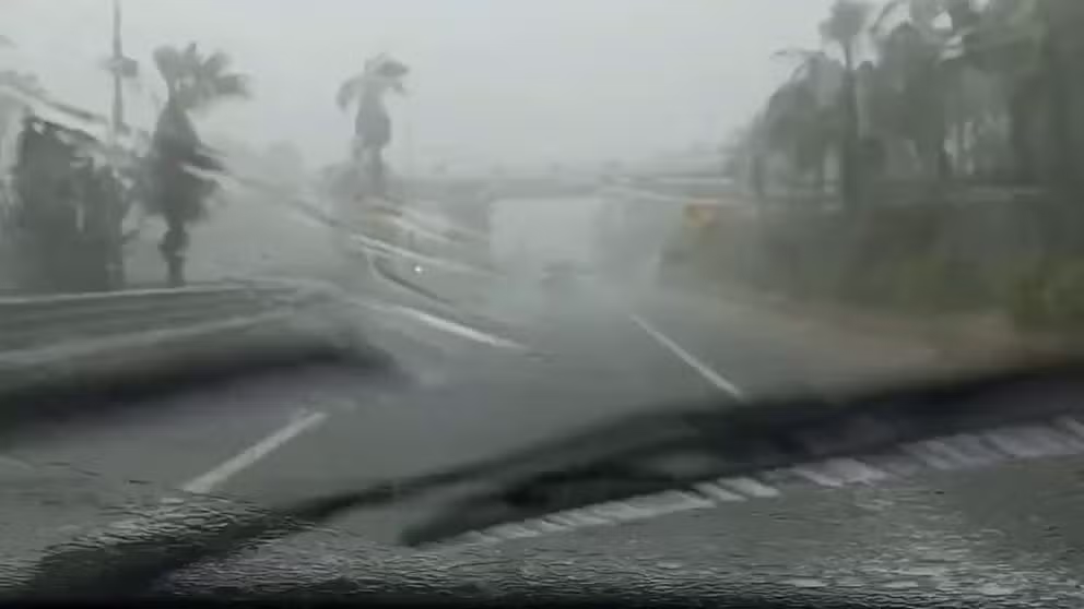
Kay sends torrential rain to Cabo San Lucas, Mexico
Video captures Hurricane Kay (now a tropical storm) sending heavy rains to Cabo San Lucas, Mexico on Wednesday. (Credit: @thecrowgil14/Twitter)
High in the sky, the National Oceanic and Atmospheric Association sent one of their planes to fly through Kay. The plane, called a "hurricane hunter," flew from Biloxi, Mississippi, down to the western waters of Mexico to intercept and then fly through the hurricane.

Flying into the storm: Hurricane Hunters fly through Kay
The Hurricane Hunters release footage of aircraft flying through Hurricane Kay.