

Future Tropical Storm Lala aims to make rare Hawaiian landfall, bringing life-threatening flooding, high surf
According to the National Hurricane Center, Tropical Storm Lala could form as early as Thursday night.
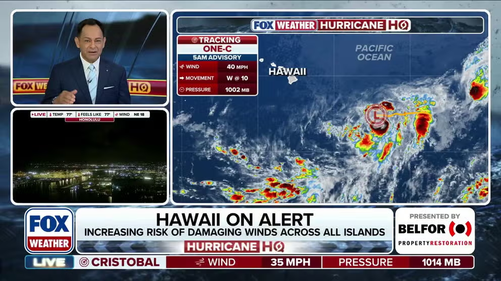
Potential-Tropical Cyclone One-C targets Hawaii with looming threats of dangerous surf, flooding
Potential-Tropical Cyclone One-C continues to organize in the Central Pacific and is expected to strengthen to Tropical Storm Lala as it moves toward Hawaii. The system could bring dangerous surf, life-threatening flooding and mudslides. FOX Weather Meteorologist Craig Herrera has the latest across the basin:
THE TAKEAWAY
- Tropical Storm Lala could form by Thursday night
- Future Tropical Storm Lala to threaten Hawaiian Islands with dangerous surf, flooding
- Tropical Storm Hernan formed in the Eastern Pacific with no threat to land
HONOLULU — Tropical activity is increasing in the Pacific Ocean as Potential Tropical Cyclone One-C (PTC ONE-C) continues to track toward the Hawaiian Islands, which could see impacts from this system as early as Friday evening.
The system is expected to strengthen into a tropical storm—earning the name Lala—as it moves closer, bringing risks of dangerous surf along with life-threatening flooding and mudslides.
According to the National Hurricane Center (NHC), Lala could form as early as Thursday night.
Meanwhile, Tropical Storm Hernan formed in the Eastern Pacific early Thursday about 1460 miles west of southern Baja California. It is forecast to be short-lived and have no impacts to land.

(FOX Weather)
While no Tropical Storm Watches are currently in effect for PTC One-C, with impacts still more than 48 hours away, they are expected to be issued soon.
According to the NHC, "A Hurricane or Tropical Storm Watch will likely be required for a portion of the [Hawaii] by early Thursday."
During this time, it will likely organize sufficiently to be designated a tropical depression or storm.
BRYAN NORCROSS: DEVELOPMENT LIKELY IN THE ATLANTIC AND PACIFIC – HAWAII ON ALERT
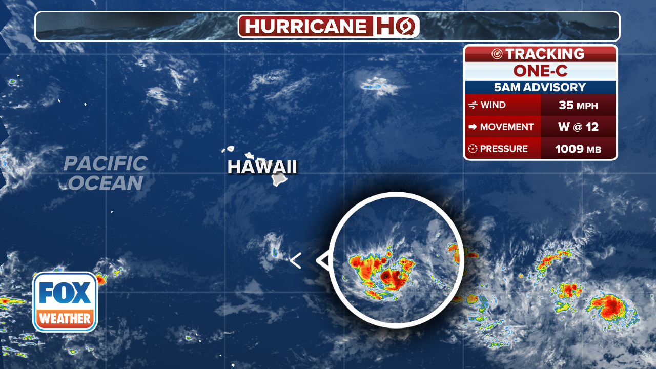
(FOX Weather)
As of Wednesday night, PTC One-C is about 775 miles east southeast of the Big Island of Hawaii.
The official forecast from the National Hurricane Center has it as a strong tropical storm as it makes landfall on the Big Island.
For perspective, the last hurricane to make landfall in Hawaii was Category 4 Iniki in 1992, and became the costliest hurricane in Hawaiian history.

(FOX Weather)
The FOX Forecast Center notes that though the system has not even developed yet, the threat is high enough that "everyone in Hawaii should: 1) Plan where they could go to be safe if they live in housing vulnerable to strong winds, heavy rain, and/or elevated tides, and 2) Stay up to date on the latest information from local officials."
The exact track will also dictate which parts of the islands will receive strong onshore winds and which won't, though windward slopes normally get the heaviest rain.
HAWAII COULD BE IN PATH OF TROPICAL THREAT AS EL NIÑO BOOSTS EASTERN PACIFIC ACTIVITY
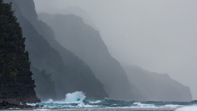
FILE: Bizzare wave shapes created by colliding outgoing and incoming waves off the Na Pali Coast on Kauai, Hawaii.
(Jon G. Fuller/VW Pics/Universal Images Group / Getty Images)
Tides are already elevated due to strong trade winds, the moon’s distance from the earth, and thermal expansion of the ocean due to the water being unusually warm.
Even if the storm misses, it will generate massive swells and dangerous surf, with wave heights potentially exceeding 30 feet, making local beaches extremely hazardous.
The National Weather Service in Honolulu and the Hawaii Emergency Management Agency will be analyzing the threat to keep everybody safe.
Potential Tropical Cyclone One-C is now next up on the list of named storms in the Central Pacific, as this could become Lala.