

Rounds of of atmospheric rivers to bring days of soaking rain, gusty winds to the Pacific Northwest
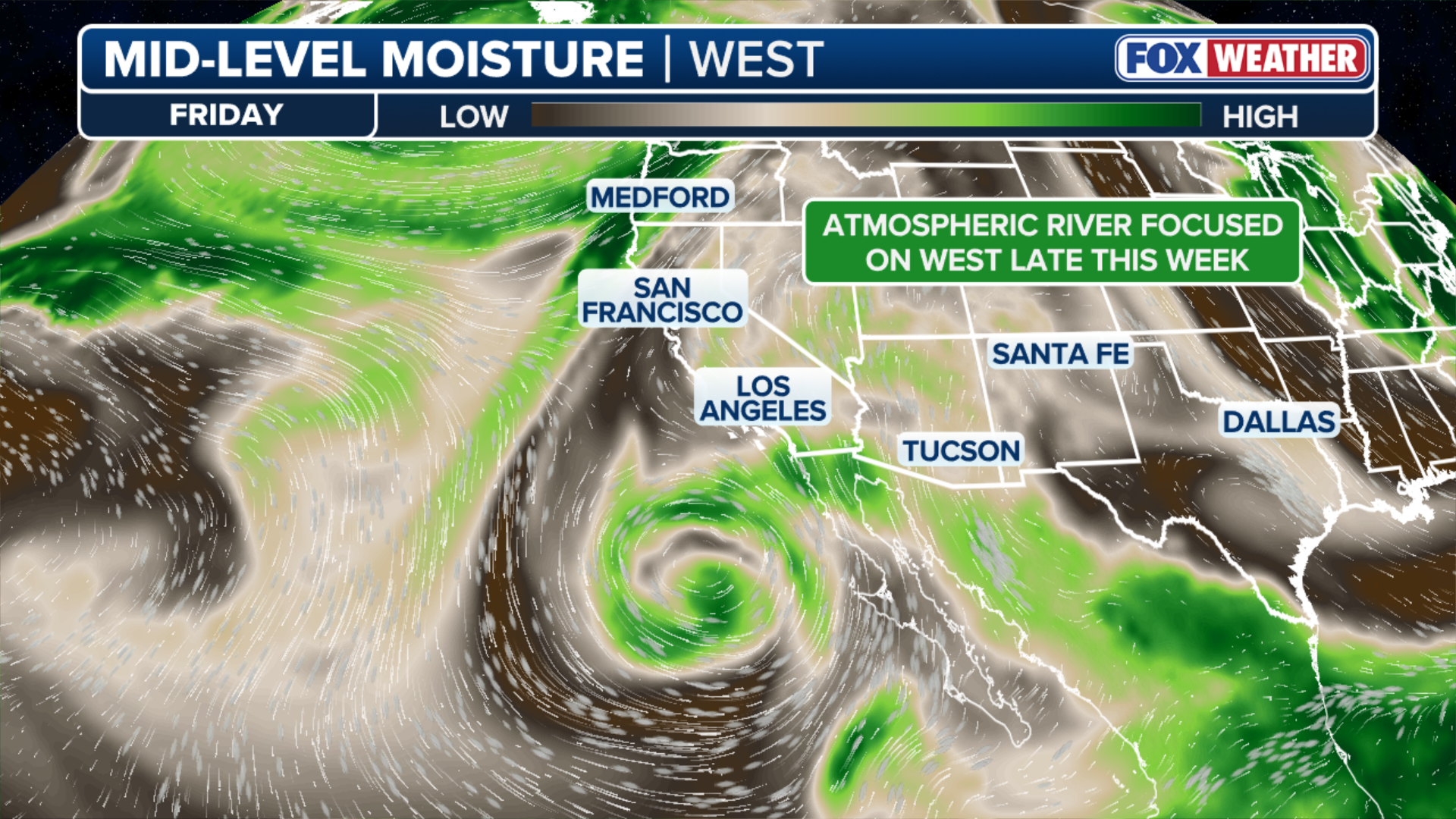
An extended Pacific jet is locking into an active pattern, creating a steady stream of moisture directed toward the West Coast.
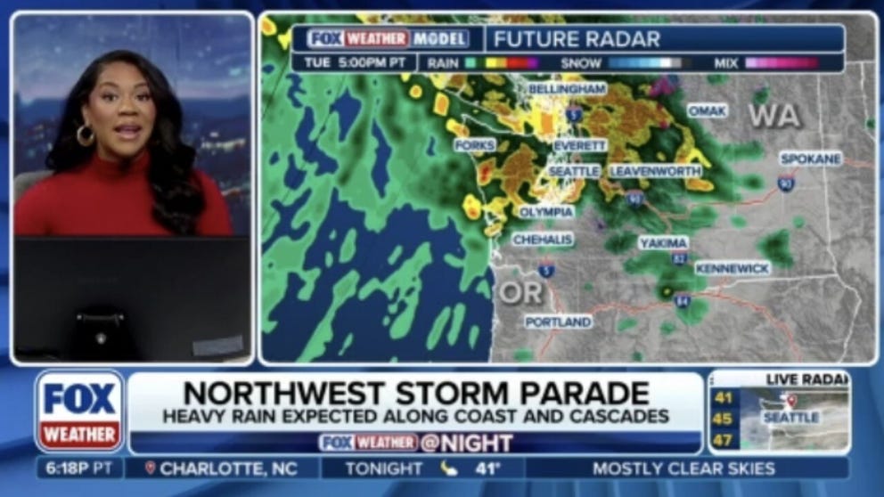
Relentless stretch of atmospheric rivers expected to impact the Pacific Northwest through the week
Pacific moisture train is targeting Washington and Oregon through the week with multiple atmospheric rivers taking aim at the West Coast. FOX Weather Meteorologist Kiyana Lewis breaks down the latest forecast.
THE TAKEAWAY:
- Rounds of atmospheric rivers are impacting the West.
- The storm has already been impacting Oregon and Washington.
- Lower-elevation rainfall totals will be from 1 to 3 inches.
A relentless stretch of atmospheric rivers is set to impact the Pacific Northwest, bringing rounds of soaking rain, gusty winds and the potential for localized flooding.
An extended Pacific jet is locking into an active pattern, creating a steady stream of moisture directed toward the West Coast.
(FOX Weather)
Rather than a single storm system, a succession of Pacific disturbances will bring periods of rain, initially focusing on the Pacific Northwest before gradually shifting south toward California later in the week.
The pattern is already making its presence felt across the Northwest. Overnight Saturday into Sunday, nearly 100,000 customers lost power across Washington as powerful wind gusts swept through the region.

FILE: Severe flooding in Washington as the state is slammed by an atmospheric river
Christine Malchow and her two dogs were saved by her neighbors from rising floodwaters. The creek near her home rose to 2 to 3 inches on Wednesday.
Winds in the lower elevations were near 50 to 60 mph, while higher elevations saw even stronger gusts. Near Mount Rainier, a gust of 95 mph was recorded.
POLAR VORTEX DISRUPTION COULD BE EARLIEST ON RECORD, BUT EL NIÑO IMPACT MAY KEEP US WARM
Other notable wind gusts included 93 mph at Crystal Mountain, 85 mph at Snoqualmie Pass and 73 mph near Mount Baker.
The active pattern will continue into next week as a strong westerly flow aloft will aim the Pacific moisture toward western Washington, Oregon and far northwestern California.
(FOX Weather)
Successive waves of moisture will bring persistent periods of moderate to heavy rain along coastal areas and the Cascade Range.
By Thursday, a deeper area of low pressure developing over the Gulf of Alaska will help keep the moisture anchored across the Pacific Northwest. The rain will gradually push into far northern California by Friday as additional disturbances move onshore.
WHEN IS THE EARLIEST SNOWFALL ON RECORD FOR PARTS OF THE NORTHEAST?
After several days of rain, soils across Washington and Oregon will become increasingly saturated, raising concern for minor river flooding in vulnerable areas.
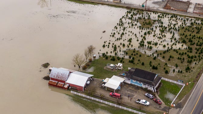
SILVANA, WASHINGTON - DECEMBER 6: In an aerial view, floodwaters surround a barn on December 6, 2023 near Silvana, Washington. Atmospheric river conditions in the region brought heavy rains and flooding.
(Getty Images)
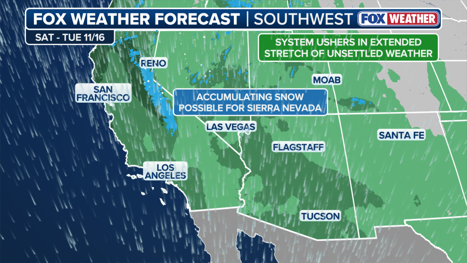
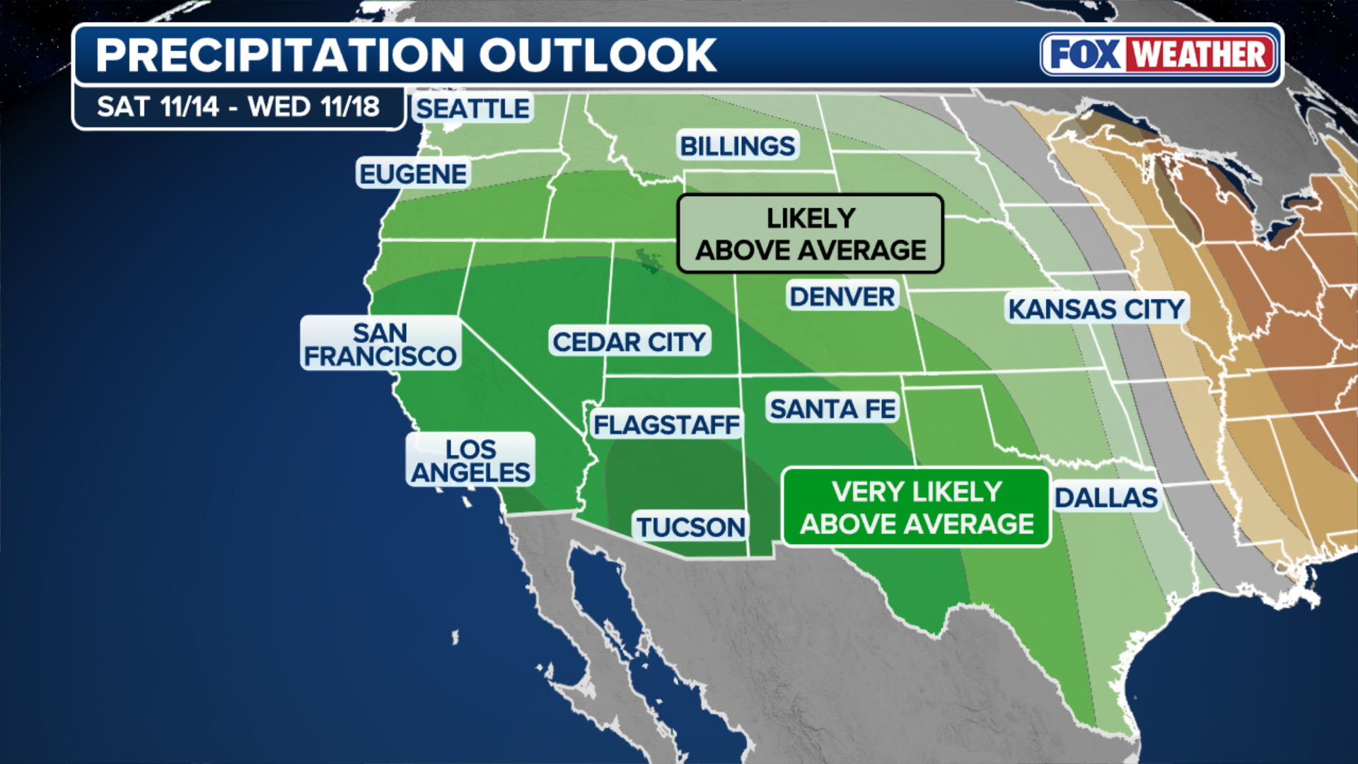
It will not be until late Friday night into Saturday that a trailing cold front finally pushes the moisture boundary farther south. The weakening atmospheric river will spread soaking rain into the San Francisco Bay Area and Central Valley over the weekend, while snow develops at higher elevations across the Sierra Nevada, including mountain passes.
HOW THE BREWING SUPER EL NIÑO WILL BENEFIT VARIOUS REGIONS ACROSS THE COUNTRY
While this is not expected to be an extreme atmospheric river event, it signals the beginning of a more active weather pattern as the jet stream gradually shifts southward.
The combination of persistent rain and gusty winds along the immediate coast will make for a dreary week across much of the West Coast.
(FOX Weather)
Western Washington is expected to see the highest rainfall totals, with some areas potentially receiving 5 to 8 inches or more through the week.
HOW THE BREWING SUPER EL NIÑO WILL BENEFIT VARIOUS REGIONS ACROSS THE COUNTRY
Away from the coast, lower-elevation rainfall totals will be from 1 to 3 inches, gradually increasing closer to coastal communities.
Little snow is expected in populated areas. However, higher elevations of the Sierra Nevada could see accumulating snow over the weekend.