

Weekend showers to soak Florida as Hurricane Center monitors area of possible tropical development in Gulf
While tropical development within either area is unlikely, the disturbance off the Southeast coast could still bring heavy rain and disrupt weekend plans.
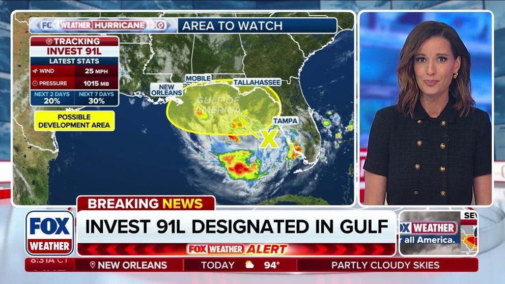
National Hurricane Center designates 91L over the Gulf
Coming out of the Gulf, the National Hurricane Center has designated Invest 91L. The chance of development for this area to watch was upgraded to 20% chance over the next two days. Stick with FOX Weather for all the latest.
The National Hurricane Center (NHC) is monitoring the Atlantic for potential tropical development near Florida and along the Gulf and Southeast U.S. coast.
While tropical development within either area is unlikely, the disturbance off the Southeast coast could still bring heavy rain and disrupt weekend plans.
LATEST FROM FOX WEATHER HURRICANE SPECIALIST BRYAN NORCROSS

(FOX Weather)
The NHC has issued an area to watch that stretches from the Gulf waters off Florida's Big Bend across the peninsula and along the coasts of Georgia and South Carolina.
This is the same area the FOX Forecast Center was closely monitoring for potential development earlier this week.
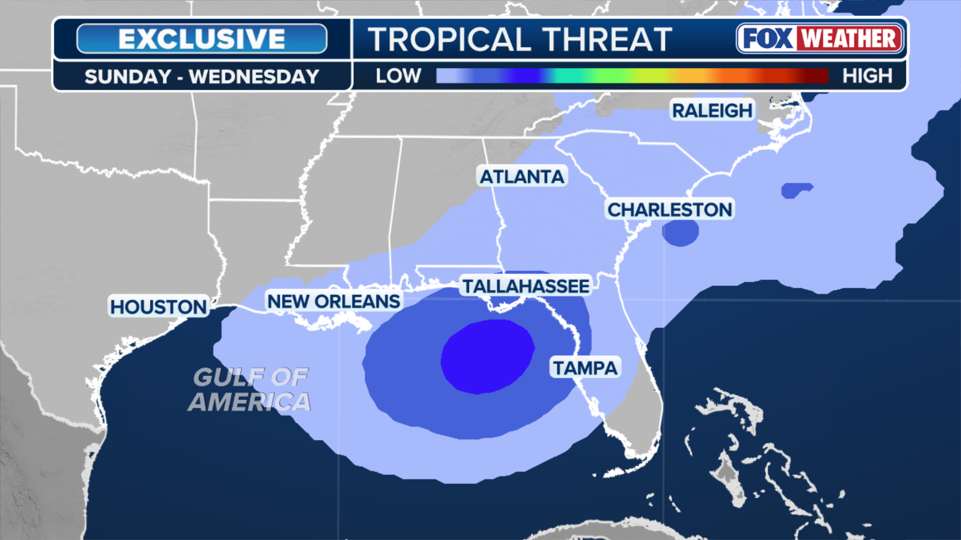
(FOX Weather)
The FOX Forecast Center is monitoring two possible tracks for this disturbance.
Computer forecast models are trending toward a scenario where thunderstorms become better organized but become trapped beneath a large area of high pressure. Instead of moving away from the U.S., these storms would drift west toward Louisiana early next week.

(FOX Weather)
The other less likely scenario holds that the disturbance will move north along the Southeast coast but remain weak and disorganized.
Regardless of development, an area from Fort Myers to Florida Big Bend could see a large swath of 2–3 inches of rain starting Saturday and lasting through Tuesday.
Historically, most of the tropical systems that develop in July are so-called "homegrown threats" — systems that develop close to the American coastline. Currently, water temperatures remain above average in the Gulf and off the Southeast coast.
Area to watch in the open Atlantic begins to sputter out
Meanwhile, the NHC is monitoring an area for potential tropical development in the Atlantic's Main Development region, several hundred miles off the coast of West Africa, an area that previously had not seen a hint of tropical activity this hurricane season.

(FOX Weather)
According to the NHC, tropical development is unlikely over the next two days, and there is only a 20% chance of development at this time.
"The disturbance is expected to run into a wall of hostile winds by the weekend," the FOX Forecast Center said.
"If there are no organizational trends over the next couple of days, the odds of future development seem very slim."
Strong winds, plumes of Saharan dust and average water temperatures are creating a hostile environment for tropical development across much of the open Atlantic, in what has been a quiet start to the season.
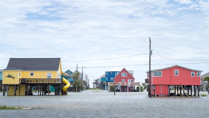
FREEPORT, TEXAS - JUNE 17: Floodwater surrounds a neighborhood after Tropical Storm Arthur made landfall on June 17, 2026 in Freeport, Texas. A Tropical Storm Watch has been issued for portions of the northwestern Gulf Coast, stretching from the mid-to-upper Texas coast into Louisiana, as Tropical Storm Arthur brought heavy downpour and flooding. Tropical Storm Arthur becomes the first named storm of the Atlantic hurricane season.
(Photo by Brandon Bell/Getty Images / Getty Images)
"Way down the line, if anything remains of the disturbance, it could find new life in the subtropical Atlantic, but there is a long way to go," the FOX Forecast Center said.
Tropical Storm Arthur, which formed along the Texas coast on June 17, remains the year's only named storm thus far. The next named storm of the 2026 Atlantic hurricane season would be "Bertha."
FOX Weather is your Hurricane HQ. Check back for updates on this developing story.