More snow on the way for Dakotas, Minnesota after paralyzing blizzard
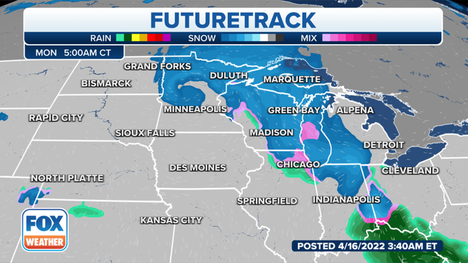
An area of low pressure will move out of the Rockies on Sunday and spread an area of snow across the Dakotas and Minnesota before moving into the Great Lakes on Monday
More snow Sunday for Northern Plains
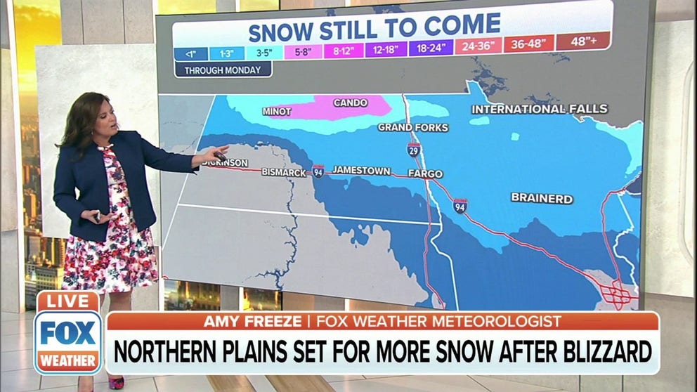
The Northern Plains is set for another round of snow after this week's blizzard. FOX Weather's Amy Freeze has the forecast.
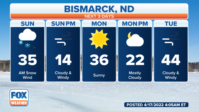
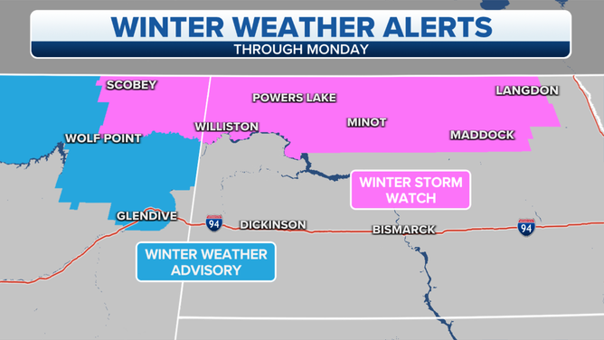
It's the absolute last thing North Dakotans want to hear after being paralyzed by 2-3 feet of snow this week: more snow is on the way.
(FOX Weather)
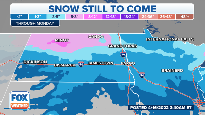
An area of low pressure will move out of the Rockies on Sunday and spread an area of snow across the Dakotas and Minnesota before moving into the Great Lakes on Monday.
While the system could produce some heavier snowfall rates, the ingredients for very heavy snow will not be there. That, plus the quick-moving nature of the system will help limit snow totals.
(FOX Weather)
Up to 6 inches of snow is still possible in North Dakota and up to 4 inches could fall in South Dakota, Minnesota and northern Wisconsin.
(FOX Weather)
Strong winds on the backside of the storm could whip up the newly fallen snow plus remaining snow from this week's event to produce localized blizzard conditions in North Dakota.
(FOX Weather)