

Destructive wind gusts and large hail target the Northern Plains through the weekend
Severe storms will remain possible across the Northern Plains and Upper Midwest on Sunday and could extend into Monday.
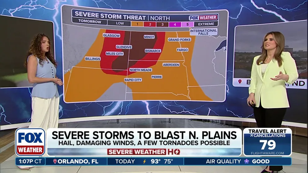
Severe storm threat building for the Northern Plains heading into the weekend
Severe weather is taking aiming at the Northern Plains this weekend, with hail, damaging winds and a few tornadoes possible tomorrow. A level 3 out of 5 severe storm threat reaches across western North Dakota and into eastern Montana as well as the northwestern tip of South Dakota.
The Northern Plains is bracing for another round of severe weather this weekend. Thunderstorms capable of producing destructive wind gusts and large hail could develop over parts of central and southern Montana, western South Dakota and northeastern Wyoming Friday afternoon.

(FOX Weather)
Starting late Saturday, following a lull in the weather, a deep, energetic dip in the jet stream will move through the western mountains and into the northern Great Plains and upper Midwest.
According to the FOX Forecast Center, a shifting pattern will send powerful, fast-moving winds into a moisture-rich environment, creating the setup for severe weather that could last several days.
MILLIONS AT RISK AS FLOOD THREAT EXPANDS FROM NEBRASKA TO FLORIDA PANHANDLE AMID TROPICAL DOWNPOURS
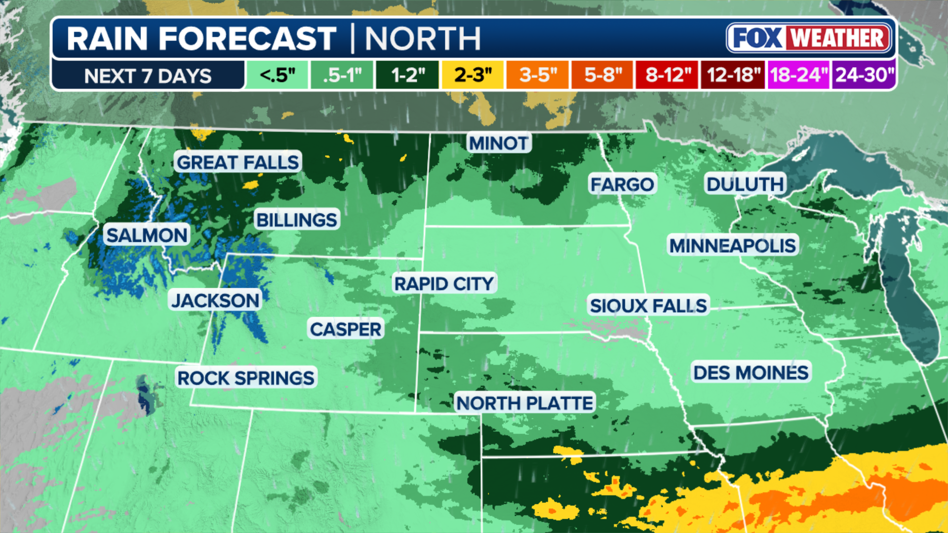
(FOX Weather)
A Level 2 out of 5 severe storm threat has been added for Saturday across North Dakota and South Dakota.
According to the FOX Forecast Center, Saturday's storms will be capable of producing large hail, damaging winds and a few tornadoes. The main hazard will be wind gusts of up to 75 mph associated with a line of storms that could develop later in the evening.
ILLINOIS LEADS THE COUNTRY FOR MOST TORNADO REPORTS SO FAR IN 2026 AND IT'S ONLY JUNE
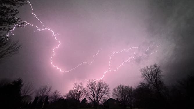
Lightning captured in Davis, Illinois, on April 14, 2026.
(Cari)
"Severe storms will remain possible across the Northern Plains and Upper Midwest on Sunday and could extend into Monday," the FOX Forecast Center said.
However, a layer of warm air in the atmosphere could create an "atmospheric cap" which could suppress thunderstorm development.