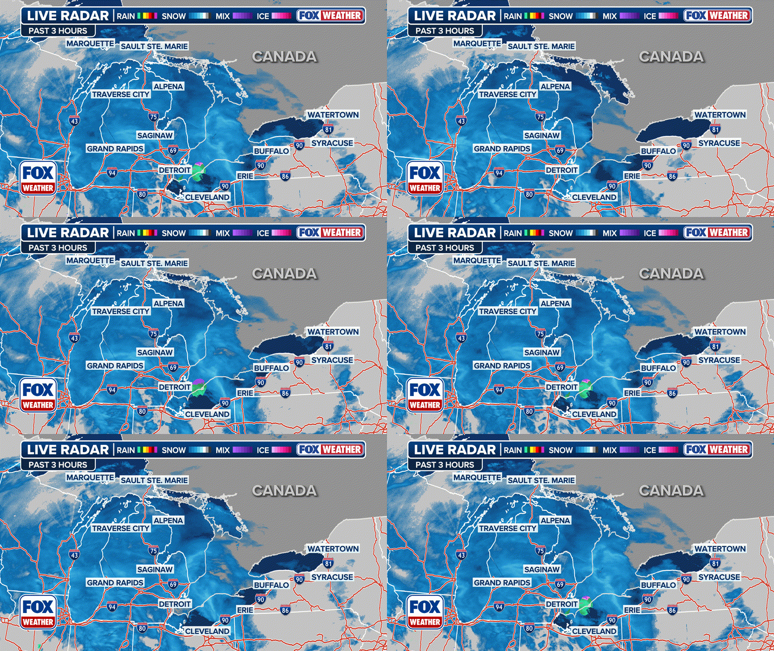
Thunderstorms roll through Midwest on Friday with Ohio Valley, Northeast in sights on Saturday
Some of the worst reports have come out of Minnesota. According to the Weather Prediction Center, hail up to nearly tennis-ball size was reported in Pierz, Minnesota, about 100 miles northwest of Minneapolis.
Northeast, Ohio Valley under threat for severe storms on Saturday
The FOX Forecast Center is tracking a system moving through the eastern part of country that could produce shower and thunderstorm activity on Saturday for the Ohio Valley and Northeast.
A dangerous severe weather threat returned to the Lower 48 on Friday as the Midwest and Southeast saw rounds of showers and thunderstorms.
The FOX Forecast Center said more than 75 million across the U.S. were at risk for severe weather Friday with storms capable of producing large hail, damaging wind gusts and tornadoes.
The storms had produced reports of primarily damaging wind and large hail on Friday.
Some of the worst reports have come out of Minnesota. According to the Weather Prediction Center, hail up to nearly tennis-ball size was reported in Pierz, Minnesota, about 100 miles northwest of Minneapolis. Winds of at least 50 mph were reported near Rush City, Minnesota, and trees and power lines were reportedly damaged in Minnesota and Wisconsin, respectively.
HOW TO WATCH FOX WEATHER ON TV

(FOX Weather)
Tree damage and flooding was reported in Alabama as another complex of storms moves across the Southeast. Winds of nearly 40 mph were reported along the coast of South Carolina before the storms moved out to sea.
No letup for severe summer storms
If it feels like there has been frequent severe weather in the forecast, it's because there has been.
There's no let-up coming for the seemingly endless severe storm threats. Round-after-round of severe weather is expected over the next few days.
On Saturday, the focus will stretch from the heartland to the Northeast. On Sunday, we reset, and a disturbance will produce severe weather in the Central U.S. That threat area shifts east to the Ohio Valley on Monday.
While severe weather in summer isn't unusual, getting it day after day is the result of a unique pattern, the FOX Forecast Center said.
Sights of tornadoes and hail across the Plains and Midwest
A tornado was spotted in South Dakota on Thursday and hail fell around the Twin Cities on Friday.

