

Carolinas see another day of flood threats as relentless rains continue with storms targeting Florida next
The front will begin to move offshore on Sunday, leaving behind drier conditions across most of the region.
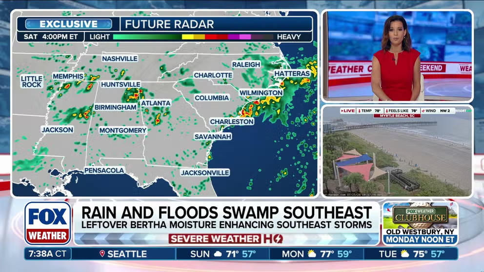
Rain and flood threat persist for one more day in coastal Carolinas
The Carolinas have seen excessive rain and flooding over the last few days, and Saturday offers one more chance for flooding, especially along the coast. Some areas have reported upwards of five inches of rain in the last two days alone. Get the forecast:
The Carolinas are at the tail end of multiday flash flooding threat brought on by a deep surge of moisture from Tropical Storm Bertha, which has dropped several inches of rain on the Southeast this week.
While Bertha is now just a memory, lingering tropical moisture converging over a stalled cold front will continue to fuel showers and thunderstorms across the Southeast on Saturday.

(FOX Weather)
The repeated rounds of heavy rain across the region were welcomed in some areas that have already experienced extreme and exceptional drought.
But since the rain started on Thursday, parts of the Southeast have reported more than 3 inches of rain, with totals of more than 5 inches in pockets of coastal North Carolina.
This led to heavy flooding on Friday, especially in areas like Asheville, North Carolina.
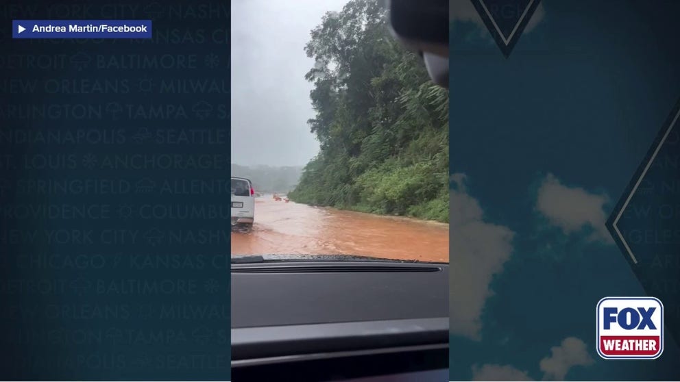
Flooding swamps Western North Carolina
The Carolinas were hit with heavy rain on Thursday and Friday, leading to flash flooding in multiple areas. Video from Asheville shows a flooded Interstate 26 on Friday.
Scattered thunderstorms will also develop across the rest of the Southeast on Saturday afternoon.
The front will begin to move offshore on Sunday, leaving behind drier conditions across most of the region.