Bryan Norcross: Tropical Disturbance Invest 95L has a better chance of developing in Atlantic
A tropical disturbance named Invest 95L could arrive in the Caribbean islands around next Tuesday. If the winds reach 40 mph, the system will be named Emily.

FOX Weather is your Hurricane HQ, streaming free 24/7.
(FOX Weather)
Updated 9:30 a.m. ET Friday
A Tropical Disturbance – officially tagged Invest 95L – has emerged from the broad area of disturbed weather in the far eastern Atlantic. The National Hurricane Center is giving it a medium chance of developing into at least a Tropical Depression over the next several days as it heads toward the Caribbean islands.
The "Invest" tag means the NHC has designated it for investigation.
The disturbance has a decent spin, and some thunderstorms in its circulation, but dry, dusty air is all around, which it will have to fight off if it's going to develop. The atmosphere on its path becomes somewhat less dusty, giving it a chance to organize into at least a tropical depression. Upper-level winds are reasonably conducive for development.
On the current schedule, the system would arrive in the Caribbean islands around next Tuesday. If the winds reach 40 mph, the system will be named Emily.
Satellite views of Invest 94L and Saharan dust.
(FOX Weather)
Predicting the intensity of the winds when it reaches the islands is tricky. On one hand, the environment is pretty dry and dusty, which would tend to keep development, if it happens, slow. On the other, the atmospheric pattern appears conducive for strengthening if the disturbance can find a pocket of sufficiently moist air.
For now, people in the eastern Caribbean islands should stay informed.
The Bermuda High, which typically spans the Atlantic in the summer months, has been out of place to the east this year. This positioning, which is related to the unusual jet-stream pattern, is responsible for the light breezes and extreme water temperatures around Florida. The result has been miserably hot and humid weather.
That area of high pressure is forecast to sprawl back to the west over the next several days, and that should keep the disturbance, or whatever it becomes, tracking into the Caribbean and south of the U.S. and nearby areas.
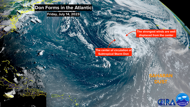
To the north, Tropical Storm Don is still chugging along. It has begun its turn to the north, where it will die out in the North Atlantic.