80 million under flood risk in East as stalled front drenches Labor Day
A stalled cold front draped across the Northeast has tapped into some tropical moisture streaming in from the Gulf of Mexico, producing a wide area of significant rains on Monday.
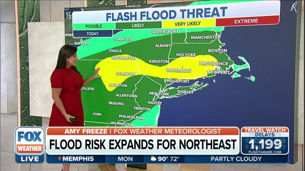
Flash Flood risk expands across Northeast
Heavy rain and thunderstorms will bring a elevated flood risk to areas of New England this Labor Day.
BINGHAMTON, N.Y. -- Labor Day looks to be a washout for much of the East Coast, but for some, it may even more problematic than a soaked cookout as nearly a quarter of the nation's population is under risk of flooding Monday.
A stalled cold front draped across the Northeast has tapped into some tropical moisture streaming in from the Gulf of Mexico, producing a wide area of significant rains on Monday.
"(It) could put a damper on your holiday plans - we know you want to get out there on Labor Day," said FOX Weather Meteorologist Steve Bender. "There will be some times when you can get outside when it’s dry, then the showers will move back in."
Drivers were stuck on I-95 in Providence, Rhode Island, for their evening commute as flash flooding made the highway impassable. Officials were forced to close other roads within the city due to the heavy rain that turned roads into rivers.

Flash flooding in Providence brings I-95 to a standstill
Torrential rain caused flash flooding in parts of Providence, Rhode Island, Monday afternoon. Drivers were at a standstill on I-95 due to the flooded highway.
Rhode Island Governor McKee urged residents to "avoid all unnecessary travel" amid flooding in the state.
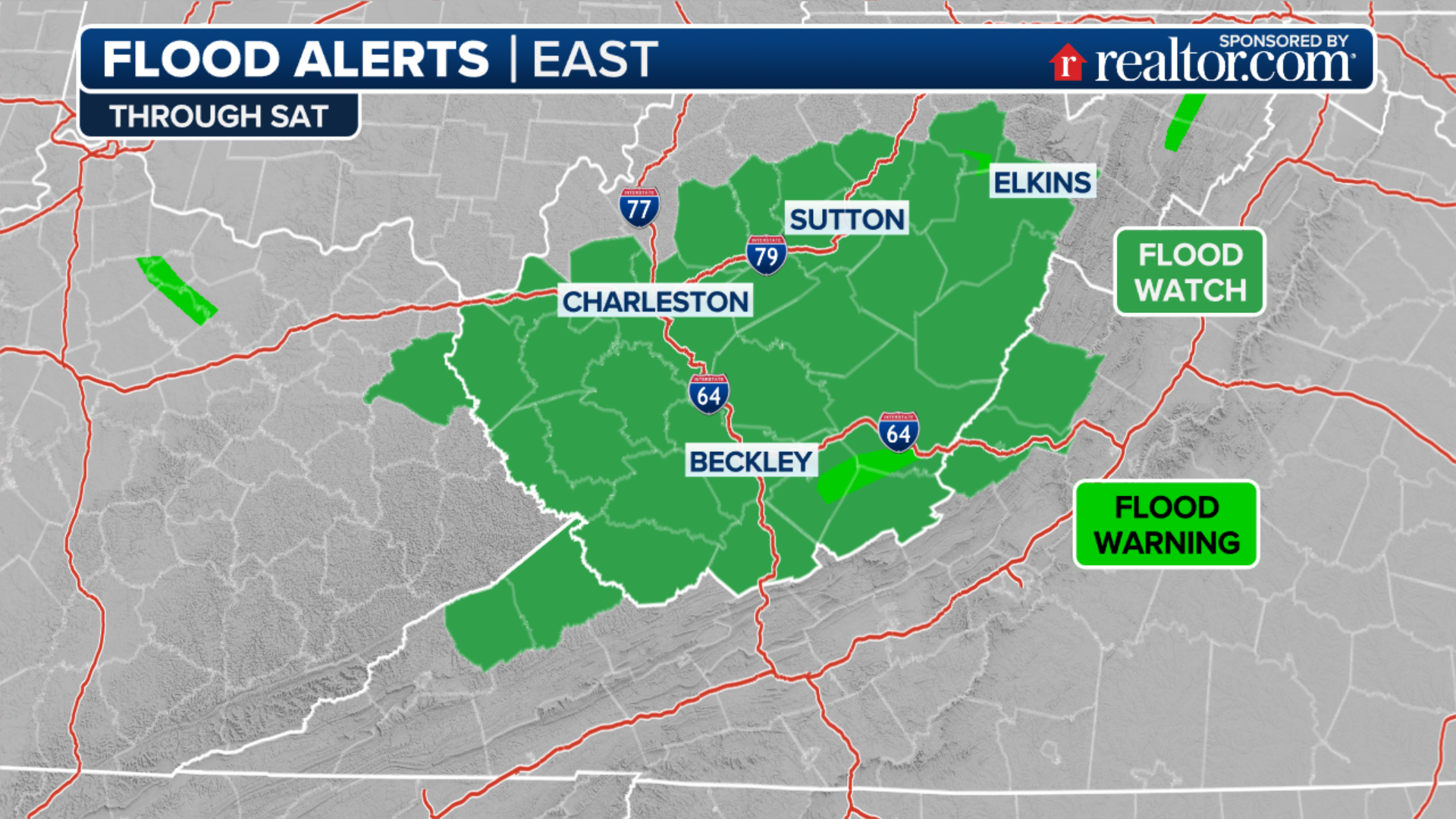
Flood Watches stretch from coastal Maine through Boston and New York, and into Pennsylvania and through much of the Appalachian and Ohio Valleys, even reaching northern Alabama and northwest Georgia. All told, just over 80 million are under flood alerts Monday.
(FOX Weather)
Generally, about 1-3 inches of rain could fall along the front Monday with locally higher amounts, producing localized flooding.

(FOX Weather)
Of particular concern for flooding Monday is the area around Binghamton, New York into the Scranton and Wilkes-Barre areas of Pennsylvania, where indication are that thunderstorms may stubbornly roll over these areas through the day, producing hours of heavy rain and exacerbating flash flooding potential.
"That’s really the theme of (Monday) – you’re going to have rounds and rounds and rounds of this (rain) coming in," Bender said.

(FOX Weather)
Forecasters with NOAA's Weather Prediction Center give a 25-40% chance rainfall amounts in those areas could exceed 1-in-100-year probability events, with a 15% chance of rainfall amounts reaching 8 inches of rain.
Aside from the flood risk and the holiday timing, the rainfall is badly needed for the Northeast which has been experiencing drought conditions this summer.
Scattered thunderstorms remain in the forecast through much of the week with some rainfall totals reaching 3-5 inches by the end of the week.

(FOX Weather)
Tennessee Valley Rains Continue
Meanwhile, an unstable air mass drenched with tropical moisture will keep thunderstorms and heavy rain in the forecast Monday and through the week across the lower Tennessee Valley and Ohio Valley, where extreme flooding has already occurred.
Flash Floods covered Chatooga County in Georgia over the weekend as 9 inches fell in three hours, prompting Flash Flood Emergencies.
While rainfall amounts are not expected to be as intense as the weekend, localized flooding is still possible due to saturated grounds.