West Coast’s ShakeAlert System gets major upgrade before next big earthquake
The ShakeAlert System is available to cell phone users in California, Oregon and Washington. The system became operational in California in 2019 and in other nearby states in 2021.
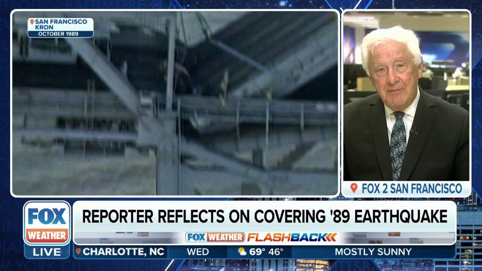
Reporter reflects on covering 1989 Loma Prieta earthquake in California
FOX 2 San Francisco reporter Tom Vacar joined FOX Weather on Tuesday night to reflect on his memories of covering the powerful magnitude 6.9 Loma Prieta earthquake that struck in 1989.
PASADENA, Calif. — The U.S. Geological Survey says residents in California, Oregon and Washington may notice alerts from the ShakeAlert System may be received faster before the next quake, and it’s all due to the employment of satellite data.
According to the agency, the alert system now uses real-time data from the Global Navigation Satellite System (GNSS) to better assess an earthquake’s potential magnitude and affected areas during seismic events.
Currently, residents in the affected regions primarily receive notifications on their cell phones when an earthquake with a magnitude of 4.5 or greater occurs.
Thresholds for alerts will not change, but the amount of time before a user receives a notification is expected to increase, and experts hope that will result in more people taking action.
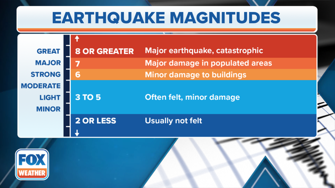
Earthquake scale
(FOX Weather)
"Future major offshore earthquakes in the Pacific Northwest, which could be similar to the 2011 M 9.1 earthquake in Japan, underscore the importance of incorporating satellite data stream into the ShakeAlert System," Robert de Groot, a member of the USGS ShakeAlert operations team, said in a statement.
The agency said the ground-based sensors are essential in determining how quickly the surface is shaking, while the GNSS sensors provide data on how much the ground moves up, down or sideways during a quake.
In addition to residents and visitors receiving cell phone notifications, municipalities use the data to trigger a variety of automatic responses, such as slowing subways and closing valves on utility systems.
EPICENTER OF LATEST CALIFORNIA EARTHQUAKE TRACED TO GROUND UNDER SAN FRANCISO INTERNATIONAL AIRPORT
According to estimates from the State of California, thousands of earthquakes occur in the Golden State annually, but only a few reach magnitudes capable of causing significant damage.
The state considers quakes of a magnitude 5.5 or greater to be capable of producing moderate damage to homes and infrastructure.
The USGS projects that upon completion of the program’s buildout in 2025, the network will comprise over 2,000 sensors, safeguarding over 50 million residents and visitors along the West Coast.