No, this isn’t the apocalypse; learn the science behind these jaw-dropping shelf clouds
Learn about social media's favorite type of cloud
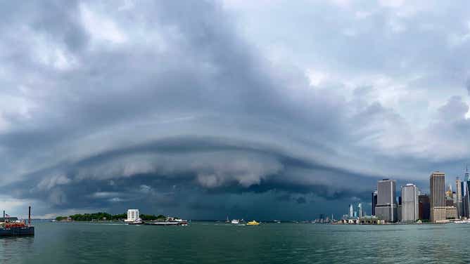
A shelf cloud was photographed from Brooklyn Bridge Park in Brooklyn, New York.
(Allan Nosoff/FOX Weather)
Social media users love sharing photos of the various types of clouds they encounter, but it’s always the jaw-dropping apocalyptic ones that quickly grab everyone’s attention. We’re talking about shelf clouds.
Shelf clouds most often form along the leading edge of an intense line of thunderstorms. They are low-hanging clouds that have a well-defined wedge-shaped appearance.
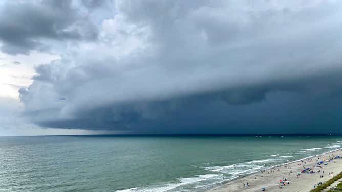
A shelf cloud was photographed from Myrtle Beach, South Carolina.
(Allan Nosoff/FOX Weather)
A shelf cloud is often accompanied by gusts of wind, with the precipitation (rain, hail or both) then following on its heels.
Shelf clouds are not tornadoes, but they can be indicative of intense thunderstorms with damaging winds.
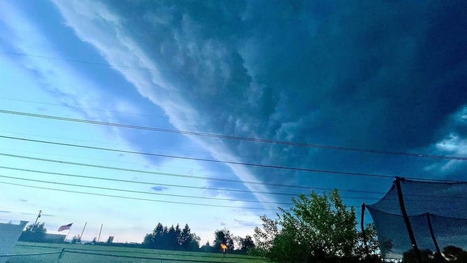
A shelf cloud was photographed from Limerick, Pennsylvania.
(Sue Van Valkenburgh Grice)
As rain-cooled air rushes downward out of the thunderstorms – known as a downdraft – warm air is lifted upward out ahead of the storms to replace that cooler air. When that warm air rises, it condenses and forms the shelf cloud that we all rush outside to snap a photo of for social media.
Reports of wind damage, including downed trees and power lines, often trickle into local National Weather Service offices following the passage of the line of thunderstorms associated with the shelf cloud.
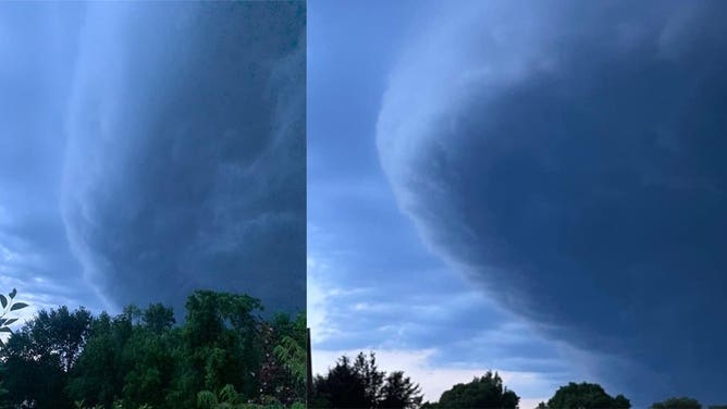
The shelf cloud photo on the left was captured in West Chester, Pennsylvania, while the one on the right was taken in Lansdale, Pennsylvania.
(Left: Staci Dickerson; Right: Kristen Smith Trimble)
You can always share your "shelfies" with us on Twitter, Instagram and Facebook.